Observation Date
11/27/2024
Observer Name
Gagne
Region
Provo » Timpanogos
Location Name or Route
East Shoulder of Timpanogos
Weather
Sky
Obscured
Precipitation
Light Snowfall
Wind Direction
Northwest
Wind Speed
Calm
Weather Comments
Low and mid-level moisture made for poor visibiity.
Snow Characteristics
New Snow Depth
12"
New Snow Density
High
Snow Surface Conditions
Powder
Snow Characteristics Comments
~30 cms storm snow with 70 cms HS on north aspect at 8,100'
Red Flags
Red Flags
Recent Avalanches
Collapsing
Poor Snowpack Structure
Red Flags Comments
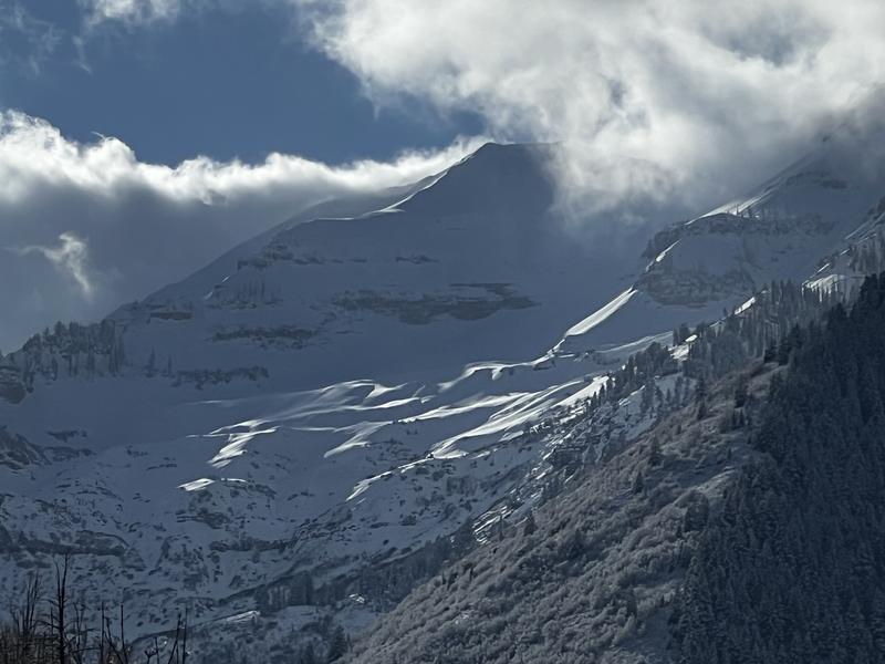
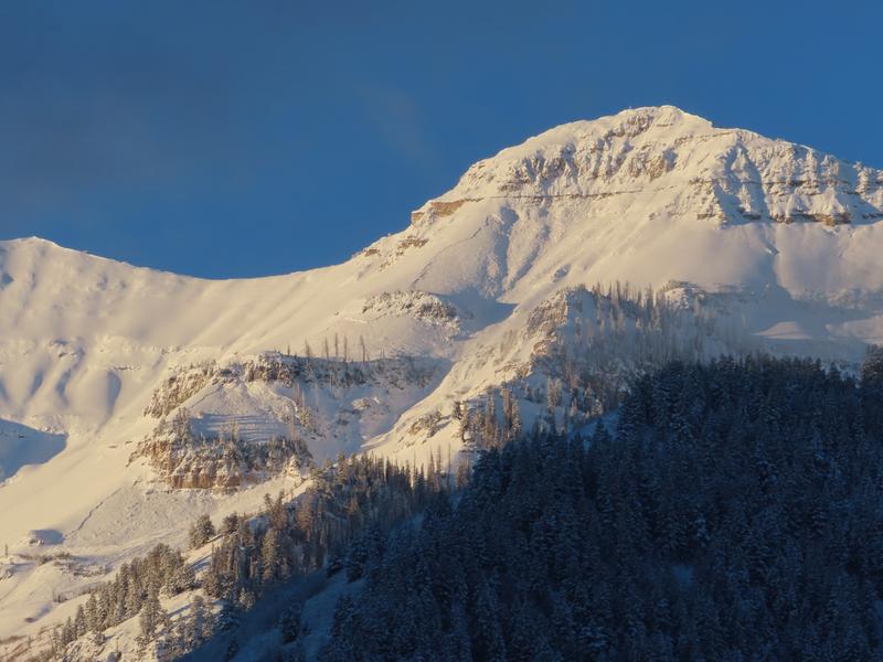
A natural avalanche cycle overnight during the storm in Big Springs/Cascade Ridge drainage.
Several collapses, but this could have been due to the snowpack resting on grass and bushes. Some cracking.
Avalanche Problem #1
Problem
Persistent Weak Layer
Trend
Decreasing Danger
Problem #1 Comments
The Provo mountains have a layer of old snow preserved on mid and upper elevation slopes facing Northwest through north and northeast. It is possible some upper elevation east aspects that are shaded have a thin layer of faceted snow as well.
ECTP17 down 60 cms (10 cms above the ground) in faceted snow on north aspect at 8,100' (Pit profile below.)
Snow Profile
Aspect
North
Elevation
8,100'
Comments
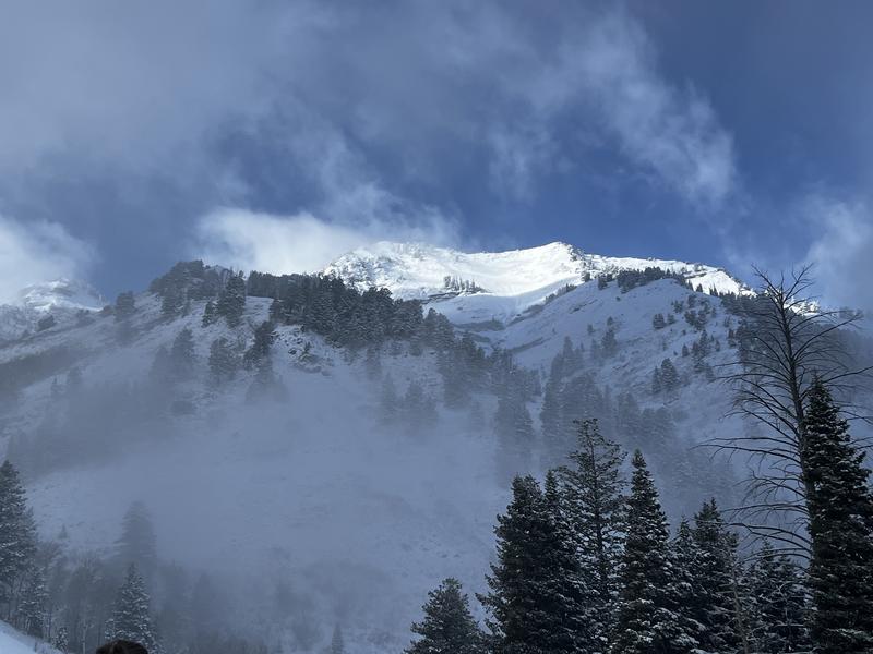
A decent storm for the southern Wasatch with 1" - 1.7" of water. A few photos (avalanche photo taken by Woody with UDOT) up in Big Springs drainage showing natural avalanche cycle overnight, with avalanches on NE aspects failing in old faceted snow.
I will continue to avoid steep slopes facing northwest through north and northeast which hold faceted snow at the base of the snowpack.
Today's Observed Danger Rating
Considerable
Tomorrows Estimated Danger Rating
Considerable
Coordinates


