Observation Date
11/26/2024
Observer Name
Chris Benson
Region
Moab
Location Name or Route
Laurel Hwy_ Coyote Chute
Weather
Sky
Obscured
Precipitation
Moderate Snowfall
Wind Direction
Southwest
Wind Speed
Strong
Weather Comments
Incredibly warm storm- rimed precipitation particles with very dense new snow. Felt more like kayaking than skiing! It seems quite reasonable that the Snotel is reporting accurately with ~3.0" of SWE. Winds at ridge top were quite strong- almost got knocked down several times on the way to the weather station- so I am wondering if the riming was affecting the reported wind speeds. Looks like it quite working around 5pm this evening
Snow Characteristics
New Snow Depth
12"
New Snow Density
High
Snow Surface Conditions
Powder
Wind Crust
Rain-Rime Crust
Damp
Snow Characteristics Comments
New snow is quite dense. Ski pen was only ~3-5 cm and was able to enjoy creamy turns on fast, smooth snow. Wind was pretty wild in the alpine and Laurel Ridge was being stripped bare of snow.
Red Flags
Red Flags
Heavy Snowfall
Wind Loading
Cracking
Collapsing
Rapid Warming
Poor Snowpack Structure
Red Flags Comments
Couldn't see much out there today, but I would guess there was some avalanche activity occurring today. The wind along Laurel ridge was nuking and lots of drifting was observed.
Avalanche Problem #1
Problem
Persistent Weak Layer
Trend
Increasing Danger
Problem #1 Comments
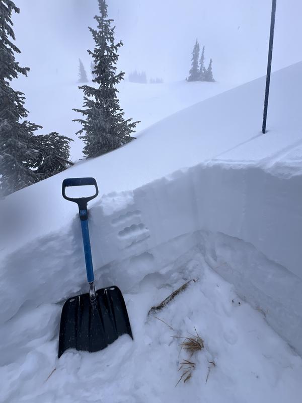
The new snow is very dense and has been moved around by the strong SW winds. I observed about a dozen collapses and several shooting cracks up to 50' in length. The most consistent failures were on north aspects. Got an ECTP14 at the new/old snow interface on a northerly aspect near treeline.
Avalanche Problem #2
Problem
Wind Drifted Snow
Trend
Increasing Danger
Problem #2 Comments
Very active wind today-can only assume that the new snow is being rapidly redistributed onto the eastern half of the compass.
Snow Profile Comments
Snow depth was ~50cm with about half of that being new snow. You can see the new snow is very white and the older snow is more gray in color. This old snow has become weak over the last few weeks of high-pressure and produced long shooting cracks and propagating test results (ECTP14).
Video
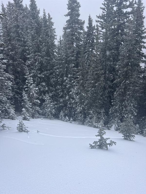
Several shooting cracks on a north aspect opposite of Julie's glade.
Today's Observed Danger Rating
High
Tomorrows Estimated Danger Rating
High
Coordinates


