Observation Date
11/25/2024
Observer Name
Ted Scroggin
Region
Uintas
Location Name or Route
Bald Mt.
Weather
Sky
Few
Wind Direction
Southeast
Wind Speed
Light
Weather Comments
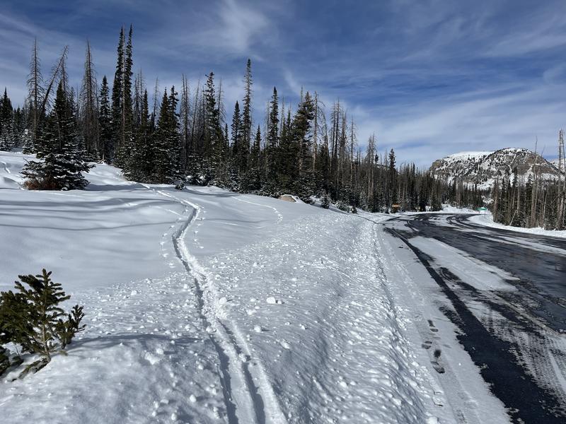
Pretty chilly start to the day on the north slope. Temperatures were in the single digits in Evanston, but it was a little warmer at the trailhead at 8,300'. Skies were mostly clear till around noon and high clouds moved in with south winds increasing.
Snow Characteristics
New Snow Depth
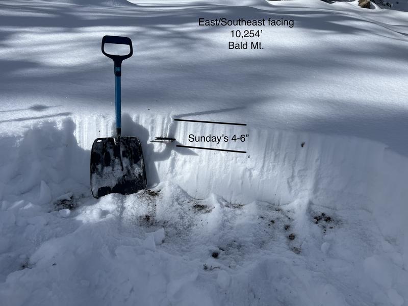
5"
New Snow Density
Medium
Snow Surface Conditions
Powder
Snow Characteristics Comments
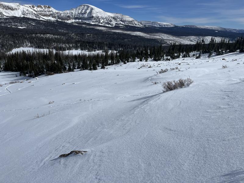
Sunday's storm left about 4-6" of medium density snow which did not change the landscape all that much. Travel is still a little tough trying to avoid rocks and trees.
Red Flags
Red Flags
Wind Loading
Poor Snowpack Structure
Red Flags Comments
The snowpack is still shallow and is mostly sugary faceted snow that does not have a lot of base to it. The winds have created some stiff wind slabs that would easily break as you traveled over them and these are resting on weak faceted snow.
Snow Profile Comments
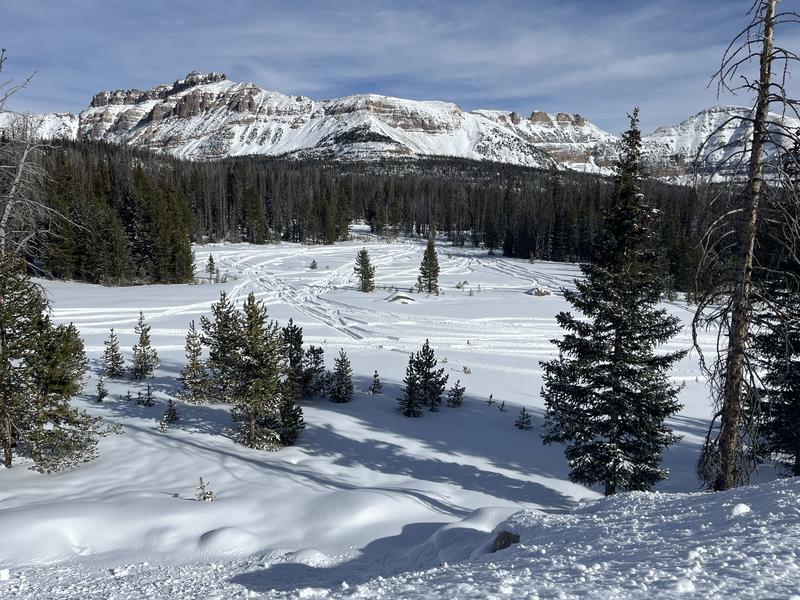
Conditions are slowly looking better, but still on the thin side and hoping the next storm really delivers some good snow totals. There were a few riders out today finding a few places to ride.
Today's Observed Danger Rating
None
Tomorrows Estimated Danger Rating
None
Coordinates


