Check out our Holiday Auction - Sign Up for the Utah Snow and Avalanche Workshop (USAW)

Observation: Park City Ridgeline

Observation Date
11/24/2024
Observer Name
Manship & Collett
Region
Salt Lake » Park City Ridgeline
Location Name or Route
Park City Ridgeline
Weather
Sky
Scattered
Precipitation
Light Snowfall
Wind Direction
Southwest
Wind Speed
Moderate
Weather Comments
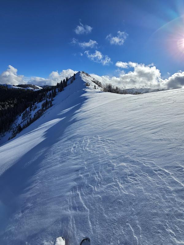
Weather slowly started to clear through out the day with in and out clouds. Moderate SW wind on the ridgelines moving a little bit of snow. You would lose the wind as soon as you got off the ridges.
Snow Characteristics
New Snow Depth
5"
New Snow Density
Low
Snow Surface Conditions
Powder
Wind Crust
Snow Characteristics Comments
Beautiful low density snow from last night. Solar aspects took on just a touch or heat by the end of the day. Some wind affected snow on the ridgelines. Overall low density powder. Solar aspects that where not steep enough to have melted out fully but possessed a crust provided a supportable base that kept you off the rocks. On northerly aspects there is not much support in the snow.
Overall snow depths ranged from about 30-40cm on non solar aspects between 8900'-9800'.
Avalanche Problem #1
Problem
Wind Drifted Snow
Problem #1 Comments
We didn't find much for a slab anywhere, but there was a bit of snow moving. Overall danger seemed low with a lack of slab from an under producing storm and light winds.
Avalanche Problem #2
Problem
Persistent Weak Layer
Problem #2 Comments
Not active yet, but with a slab there is weak snow at the ground that could start producing avalanches.
Snow Profile
Aspect
East
Elevation
9,800'
Slope Angle
12°
Comments
Low tide conditions still very much exist.
Photos:
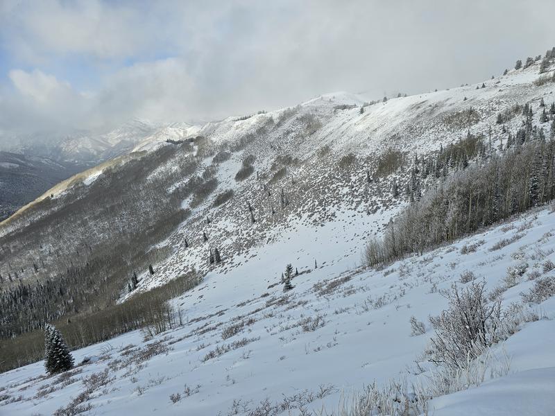
1) Low coverage of USA Bowl
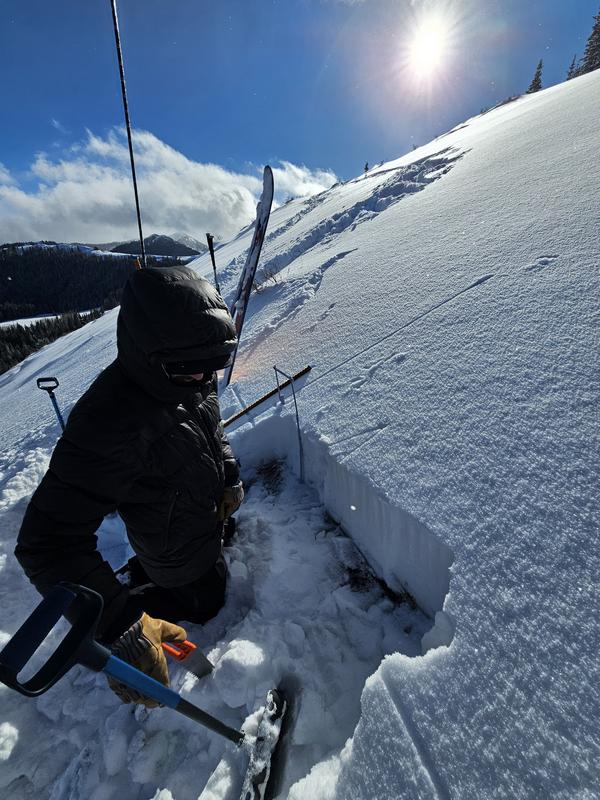
2) Easy to dig snowpit
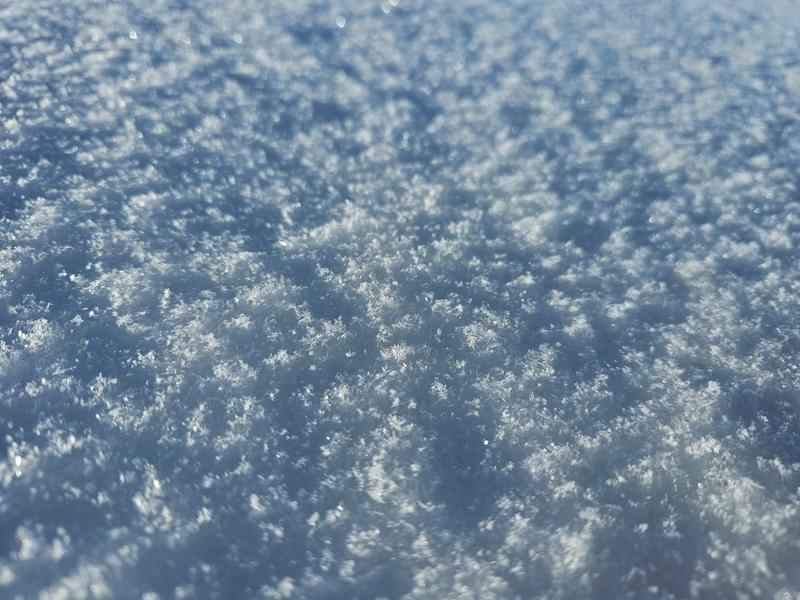
3) Fresh snow
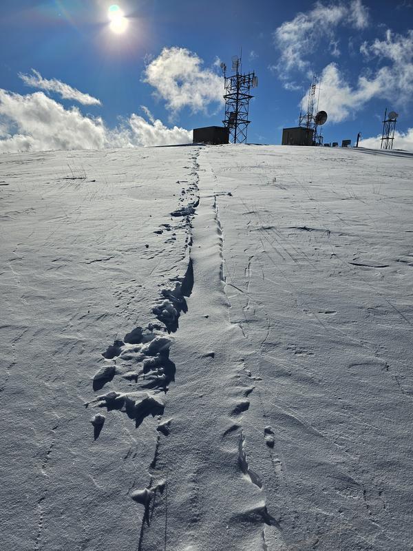
4) Wind filling in skin track on ridgeline after 45min
5) Wind transporting snow on to NE slope frin moderate SW winds.
Today's Observed Danger Rating
Low
Tomorrows Estimated Danger Rating
Low
Coordinates