Observation Date
11/21/2024
Observer Name
Kelly, Pagnucco
Region
Salt Lake » Little Cottonwood Canyon » Catherine's Pass
Location Name or Route
Catherine's Pass- Rocky Point
Comments
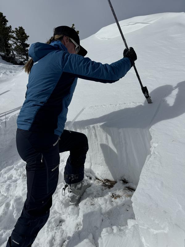
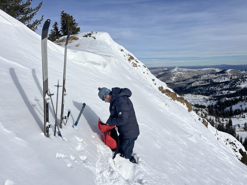
Snowpit on a northwest aspect at 10,200' in elevation. The height of snow was 27.5" (70cm). The snowpack at this elevation was mostly dry snow. The crystal card that was 6" (16cm) from the ground marks a decomposing melt freeze crust that had a slight rain layer on the top. The facets under the crust were fist hard and dry. A compression test had no results (CTN)
Snowpit on a east aspect at 10,400'. The height of snow was 17" (44cm) and the facets near the ground were not as developed as the facets on the north aspects. 2 extended column tests in this area both had no propagation (ECTN 16 @10 and ECTN 18@23). No real slab in place over the weak snow- although this could change with increased westerly winds.


Today's Observed Danger Rating
None
Tomorrows Estimated Danger Rating
None
Coordinates


