Observation Date
11/17/2024
Observer Name
Champion & Talty
Region
Ogden » North Ogden Divide
Location Name or Route
North Ogden Divide
Comments
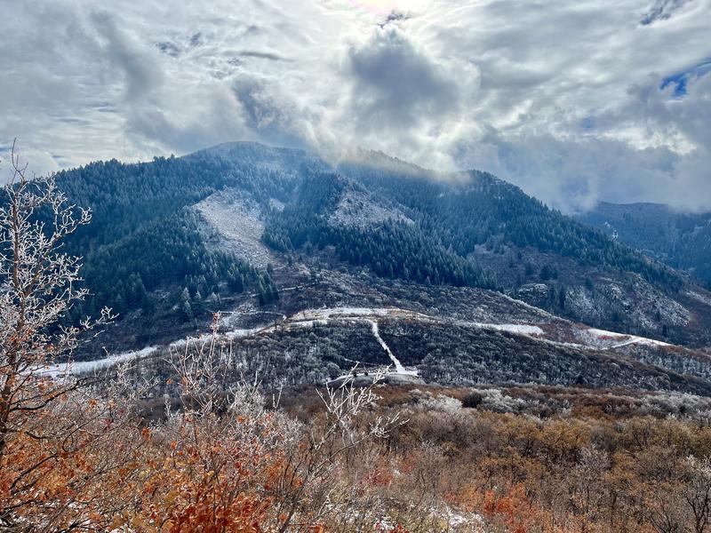
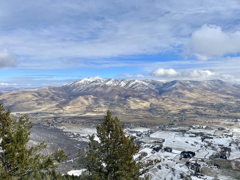
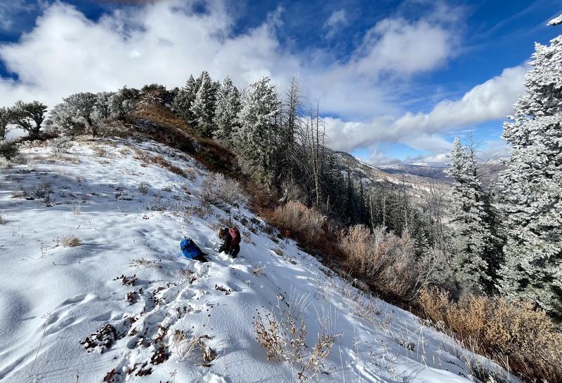
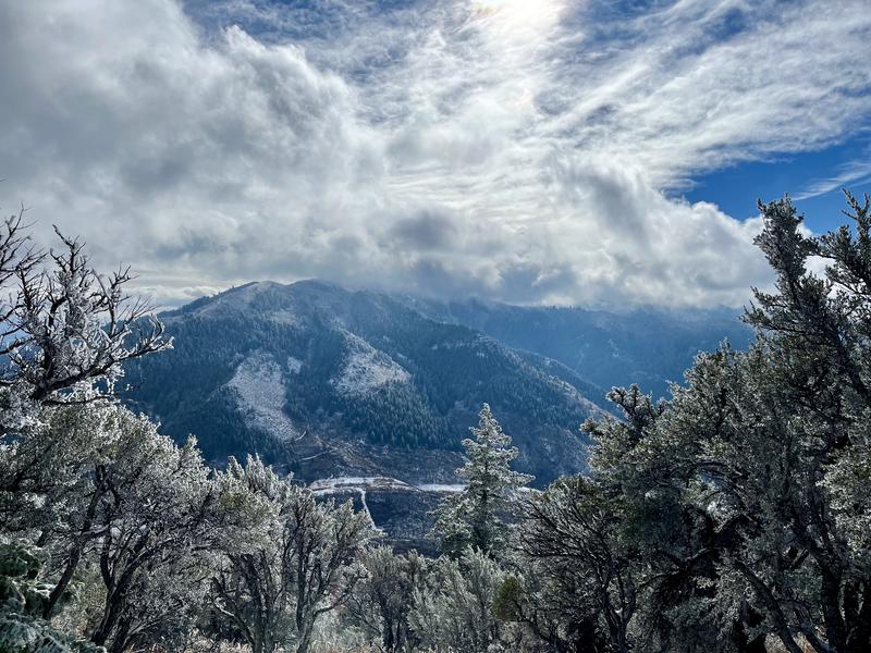
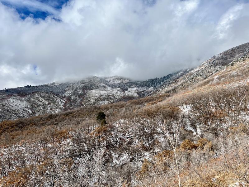
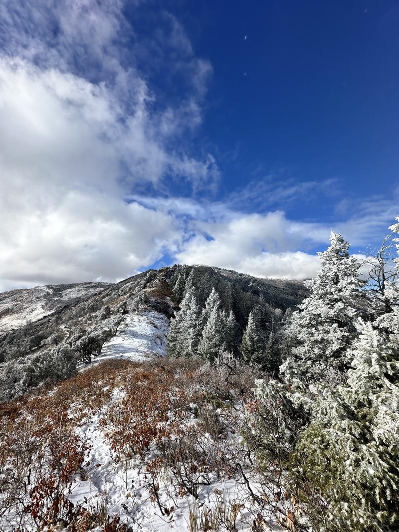
Headed out to get a sense of snow coverage across the range and along the Skyline Trail toward Ben Lomond above the North Divide. With the recent snowfall yesterday, we wanted to see what the snow fell on. In the Ogden area, many upper-elevation northerly slopes still held some early-season snow from previous storms, while most south-facing slopes and terrain below 7,000 feet had melted back to dirt. The lingering snow in upper-elevation terrain wasn’t widespread or deep but was already showing signs of faceting.
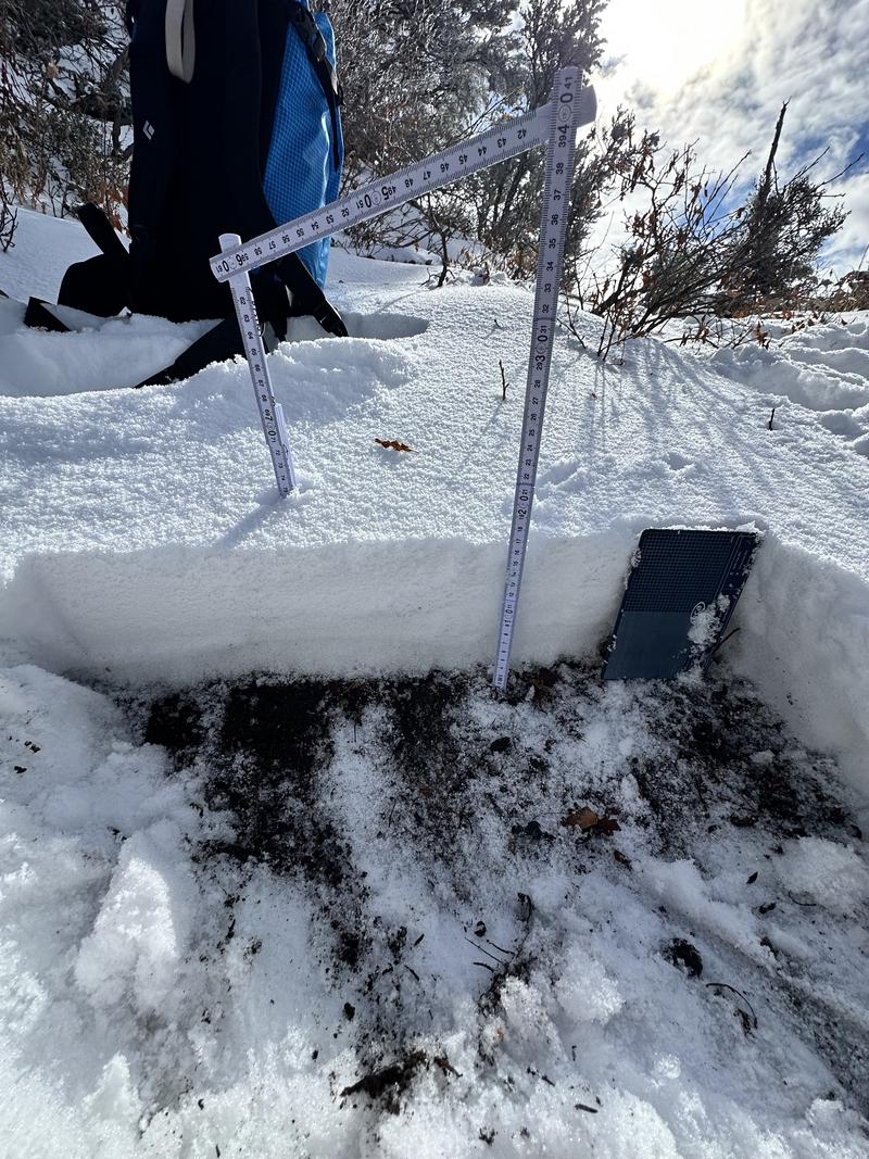
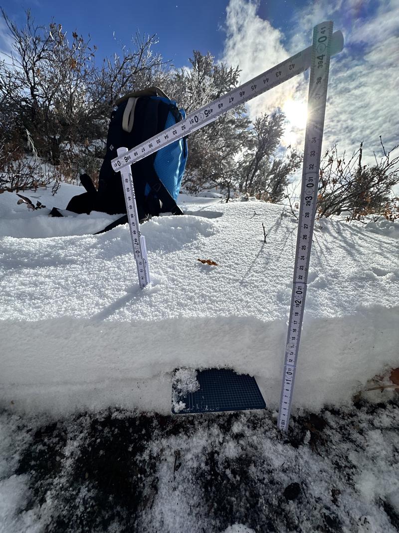
In our "snow pits", we found 2–5 inches of faceting grains near the ground, topped by a 1 cm melt-freeze crust. Above the crust, the storm began with graupel transitioning to stellars. In many areas, the graupel remained well-preserved on top of the melt-freeze or rain crust.
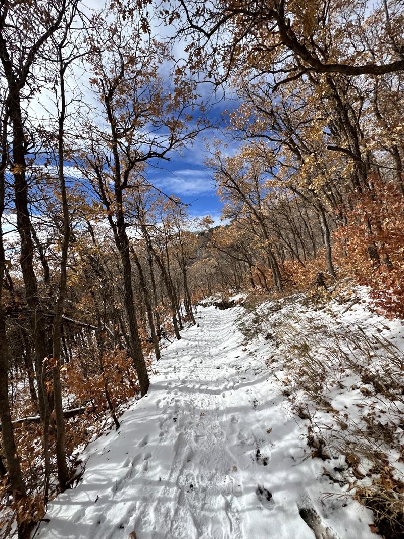
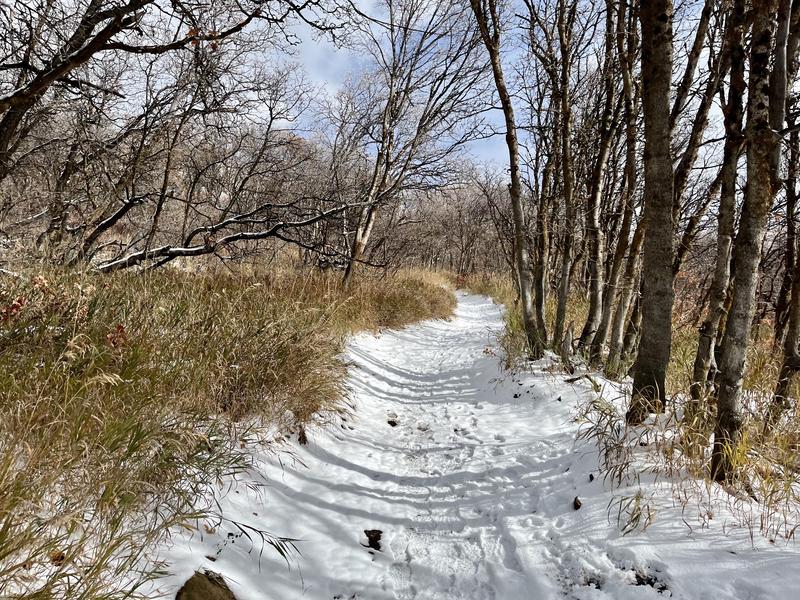
As we move into another period of high pressure, I’d expect the 4–9 inches of snow from 11/16 to continue weakening and faceting in much of the bigger terrain. While you might find a few spots where you could skin around, trail runners are likely still your best bet until we get better coverage.
Photo 1 & 2: Initial holes on a N aspect at 7000'. The melt-freeze rain crust was not very obvious in this hole.
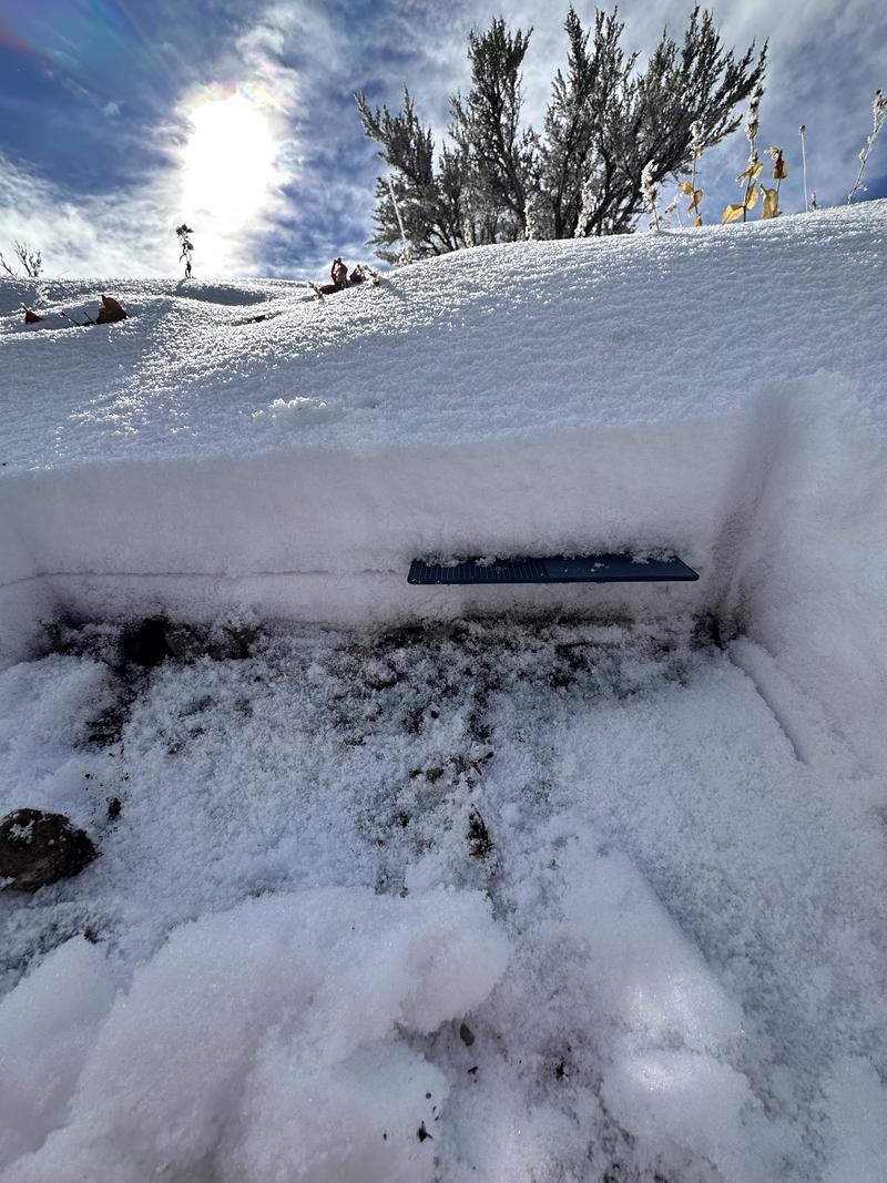
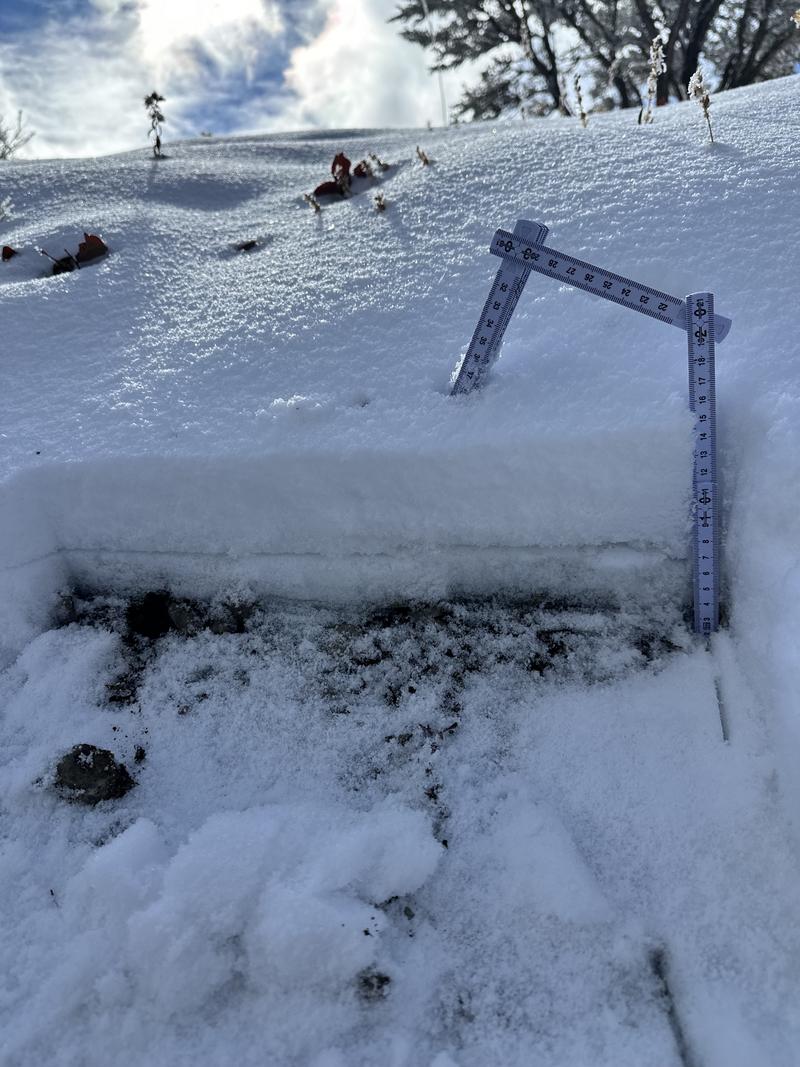
Photo 3 & 4: Secondary hole at 7200' on a true north aspect. The melt-freeze crust was more obvious.
General coverage photos:
Trail conditions:
Today's Observed Danger Rating
None
Tomorrows Estimated Danger Rating
None
Coordinates


