Check out our Holiday Auction - Sign Up for the Utah Snow and Avalanche Workshop (USAW)

Observation: Big Cottonwood Canyon

Observation Date
10/28/2024
Observer Name
B
Region
Salt Lake » Big Cottonwood Canyon
Location Name or Route
Big Cottonwood Canyon and Peripheries
Weather
Sky
Overcast
Wind Direction
Southwest
Wind Speed
Moderate
Weather Comments
Day before the Storm. Unseasonably Warm Temperatures during the day with Sustained Moderate SW Winds with Strong Gusts the past 24 hours.
Snow Characteristics
Snow Surface Conditions
Damp
Snow Characteristics Comments
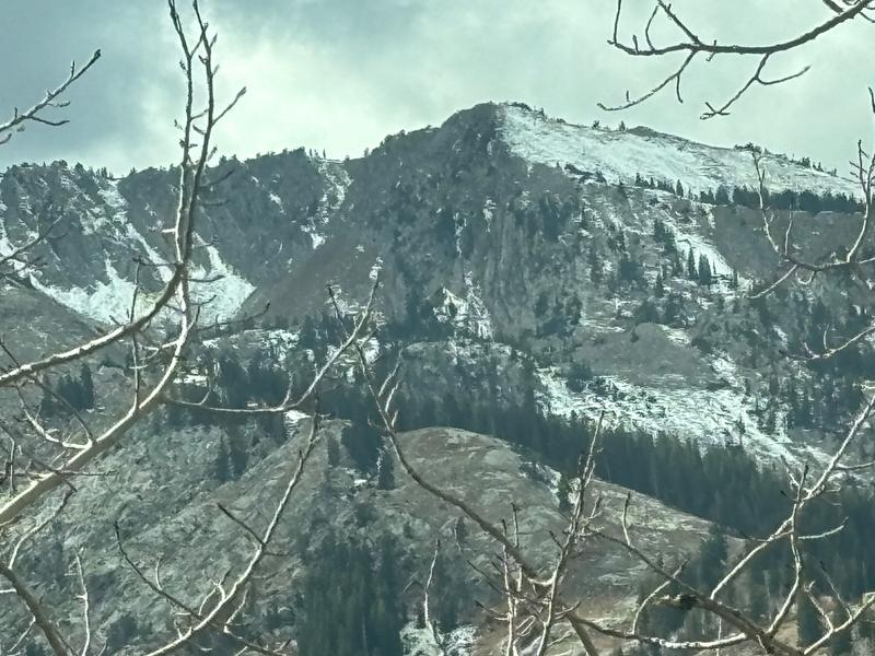
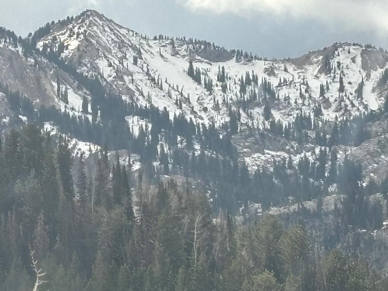
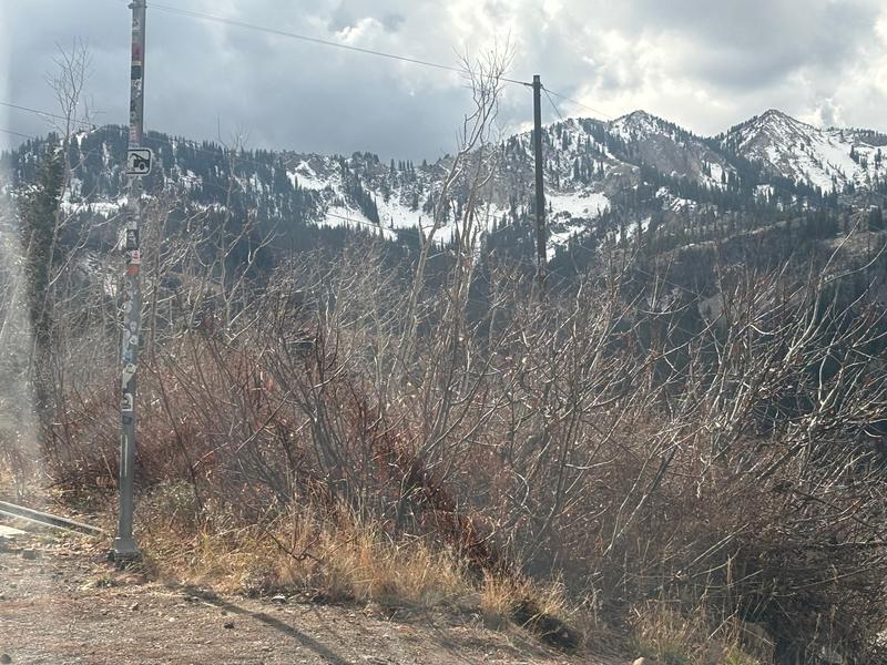
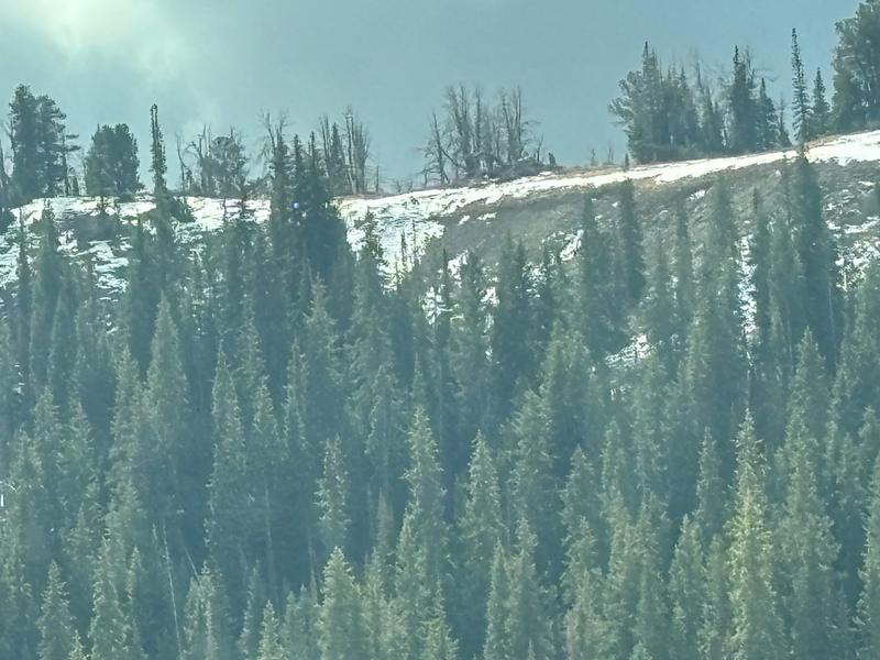
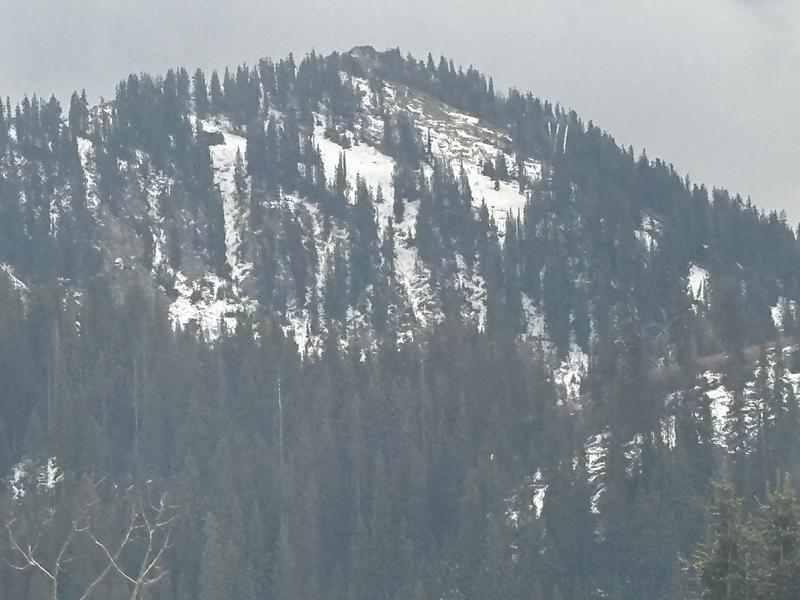
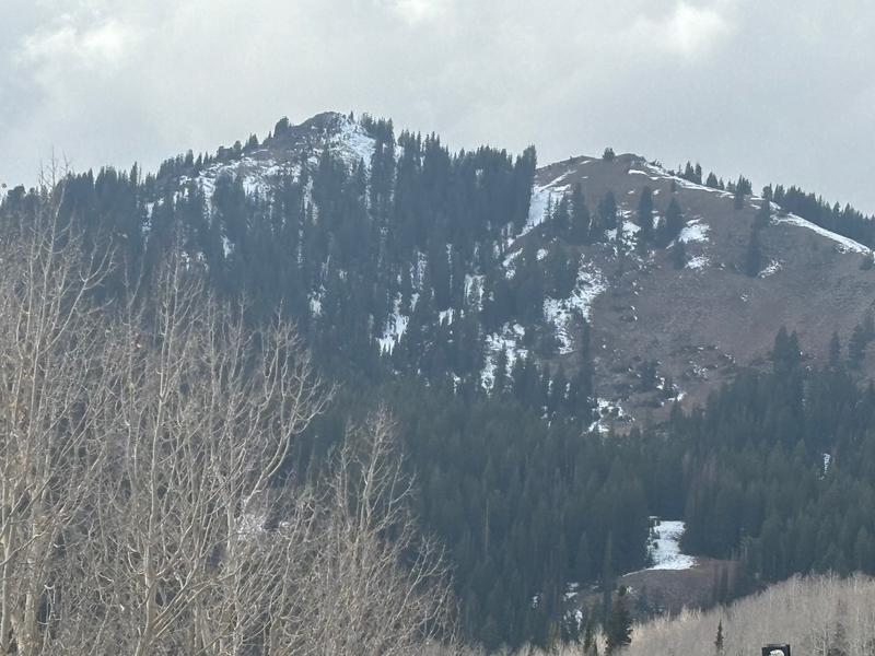
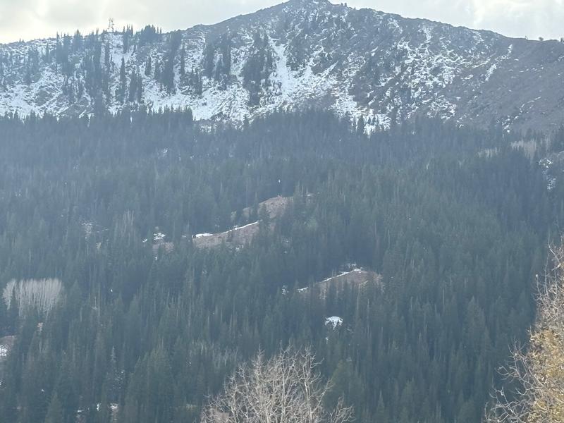
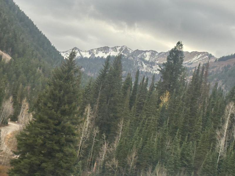
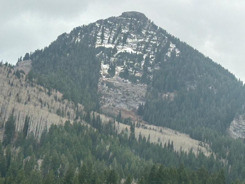
Recon day to observe/photograph/document the remaining snow from the mid-October event that occurred on the 17th-18th. High pressure dominated for the past 10 days with daytime highs in the 50's at the upper elevations with no precipitation. Attached photos depict the lingering snow above 9500 on NNW-N-NNE with remaining accumulations above 10,000 in the 2 to 6 inch range, with steep aspects holding the most. Views not depicted in the attached photos indicated at least this much and or more snow remaining on these same previously listed aspects: Flannigans, the Silverfork Headwall, the Cascades and Timpanogos; with very little snow on the Ant Knolls and or the upper reaches of the Snake Creek area.
Red Flags
Red Flags
Poor Snowpack Structure
Photo 1: Patsy Marley through the Wolverine Cirque: Photo 2: Catherines/Sunset, Photo 3: Pioneer; Photo 4: Lane's Leap; Photo 5: Hidden Canyon/10420/Guardsman Pass; Photo 6 Guardsman Pass/10420; Photo 7: Claytons Peak; Photo 8: Cardiac Enviorns; Photo 9: Kessler
Today's Observed Danger Rating
None
Tomorrows Estimated Danger Rating
Low