Observation Date
4/16/2024
Observer Name
Kelly
Region
Salt Lake » Big Cottonwood Canyon » Twin Lakes Pass
Location Name or Route
Twin Lakes Pass
Weather
Sky
Scattered
Wind Direction
Northwest
Wind Speed
Light
Weather Comments
Broken skies in the AM with a cloud deck hovering over the top of the canyon. Some green-housing noted with filtered sun in the AM and then warm temperatures with clearing skies through the afternoon. Slight increase in wind speeds blowing from the northwest through the afternoon.
Snow Characteristics
New Snow Depth
4"
New Snow Density
High
Snow Surface Conditions
Powder
Damp
Snow Characteristics Comments
Damp powder skiing with 4"-6" of settled snow that settled out further throughout the day. Lower angle smooth surfaces above 9,800' were good skiing on all aspects.
Red Flags
Red Flags
Collapsing
Red Flags Comments
I noticed and felt some collapsing in an aspen grove in the flats. This was an isolated event and I did not note it anywhere else.
Avalanche Problem #1
Problem
Wet Snow
Trend
Same
Problem #1 Comments
This avalanche (photo below) started as a wet loose avalanche that turned into a shallow soft slab avalanche that ran on the old bed surface- note the dust layer. This is similar to what I was able to inititate on steep west facing test slopes where the failure was the old dusty snow surface.
Avalanche Problem #2
Problem
Normal Caution
Trend
Same
Problem #2 Comments
This avalanche most does not have the dust layer from the above avalanche and looks like the debris is covered over with some new snow. This avalanche appeared deeper than the slide from the above photo and could have run as a wet slab from prior to the storm or during the tail end of the storm with an increase in northwest winds.
Comments
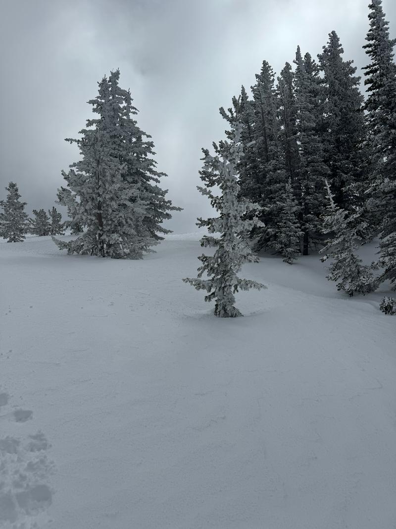
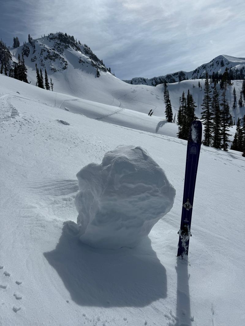
I noticed a thick layer of new snow in the trees on Twin Lakes Pass (photo 1) that at times sounded like it was raining as it melted out of the trees. I also observed wet loose debris; and some large chunks of cornice that rolled well down slope (photo 2).
Today's Observed Danger Rating
None
Tomorrows Estimated Danger Rating
None
Coordinates


