Sign Up for the Utah Snow and Avalanche Workshop (USAW) on December 7th!

Observation: Garden City Bowls

Observation Date
3/28/2024
Observer Name
Schumacher
Region
Logan » Bear Lake » Garden City Canyon » Garden City Bowls
Location Name or Route
Garden city bowls
Weather
Sky
Overcast
Precipitation
Moderate Snowfall
Wind Direction
Southwest
Wind Speed
Moderate
Weather Comments
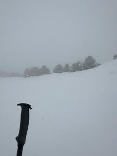
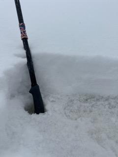
AM at the trailhead was overcast with light snow, but short periods of sun showing thru making new snow sticky- New snow was about 1", calm winds, and about 30*F. By noon, the storm was settling in with 2-3" of new snow and light to moderate NE winds and decreasing visibility. It was snowing S1-S5 most of the day. Winds shifted SW around 1-2pm as speeds increased. Winds were most noticeable above 8000-8500', but gusty periods of moderate winds were reaching down lower and moving snow as well. By the afternoon, 4-6" of new snow had accumulated in most areas with some deeper wind drifted pockets.
Snow Characteristics
New Snow Depth
6"
New Snow Density
Medium
Snow Surface Conditions
Powder
Melt-Freeze Crust
Snow Characteristics Comments
Edgeable dust on crust (ski and boot supportable) conditions in the morning turning to powder skiing in the afternoon. New snow is on a 1F+ supportable melt freeze crust (dusty) about 4" thick. New snow was damp.
Red Flags
Red Flags
Heavy Snowfall
Wind Loading
Cracking
Red Flags Comments
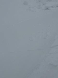
Signs on instability were minimal during the day in this zone limited to cracking in some small and isolated soft wind drifts and small cornices (picture 3). Storm precipitation intensity was pulsing to about S1-S5 throughout the day with sustained moderate SW winds adding to the rate of loading.
Today's Observed Danger Rating
Moderate
Tomorrows Estimated Danger Rating
Moderate
Coordinates