Observation Date
3/25/2024
Observer Name
Champion
Region
Salt Lake » Little Cottonwood Canyon » Emma Ridges
Location Name or Route
Emmas - Days
Comments
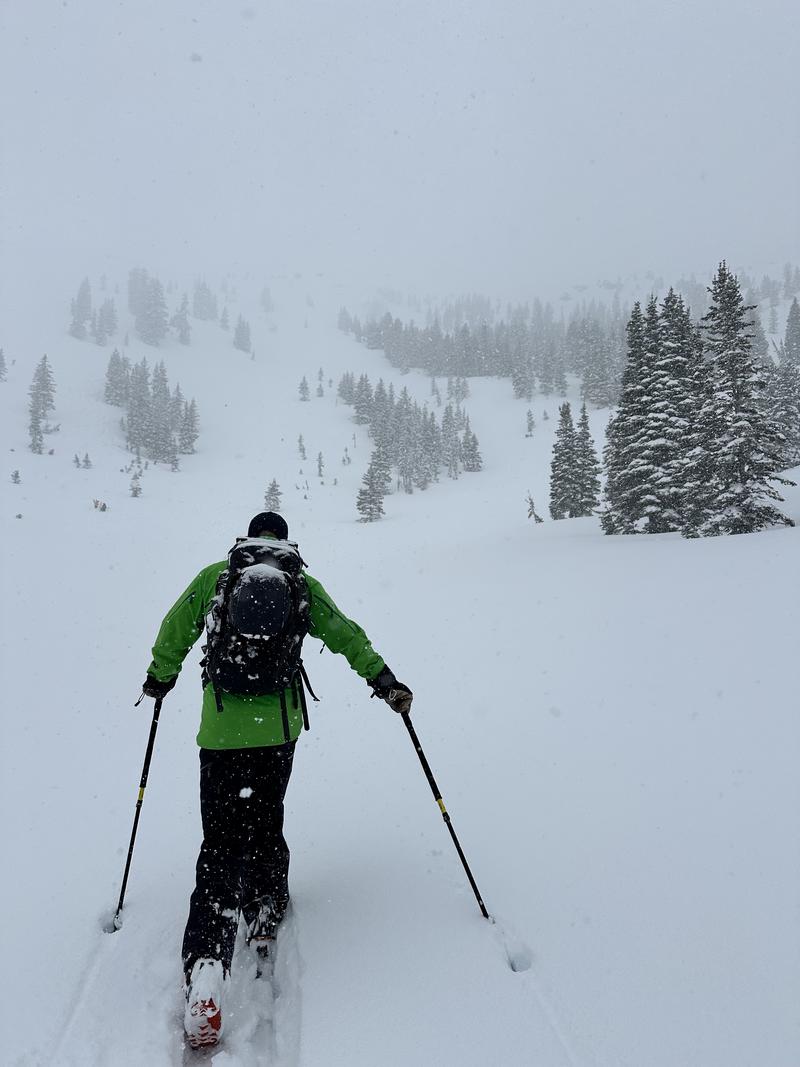
It was a beautiful day traveling through the mountains. Visibility was intermittent, but there were obvious signs of recent soft slab avalanches and easy sluffing from yesterday. The few periods of sun yesterday, as well as this morning, increased the snow density from generally low to more medium density, giving it a bit more body. Today, while traveling, the upper few inches of snow seemed to be more cohesive than yesterday, making it easy to initiate D1-1.5 soft storm slabs, especially in areas that seemed to have experienced some wind yesterday afternoon. Outside of the wind zone, the snow was still sensitive, and it was easy to initiate fast and far-running sluffs within the new snow. All the avalanches that I witnessed today seemed to fail either within the old snow/new snow interface (those avalanches that were a bit more cohesive and failed larger) or within a density change just a few inches deep.
This afternoon, the sun briefly emerged, greatly increasing the snow density on the solar aspects, which quickly absorbed a lot of heat. I would guess that by tomorrow morning, any new snow instabilities on those aspects will have settled out, but the snow surface may have a thin crust and less enjoyable ski quality.
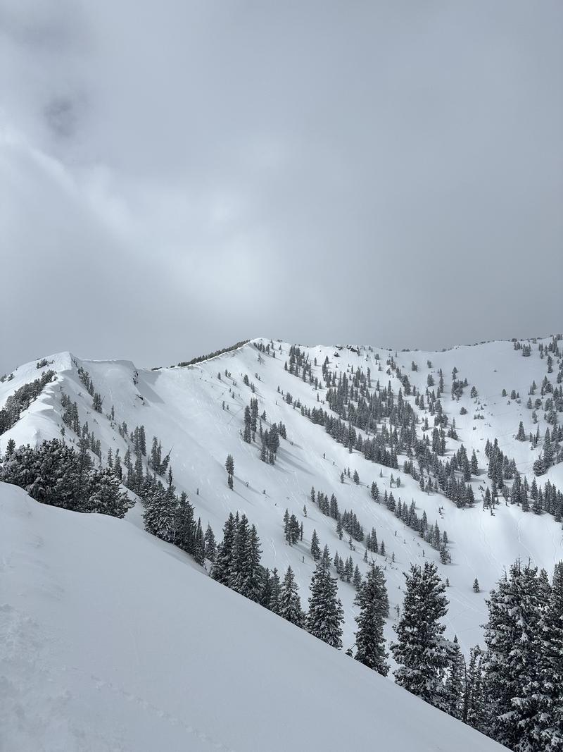
Periods of heavy snowfall - Days Fork
Looking into Upper Days - some obvious cornices
Today's Observed Danger Rating
Moderate
Tomorrows Estimated Danger Rating
Moderate
Coordinates


