Observation: Lone Peak

Observation Date
3/21/2024
Observer Name
Kelly, Kelly, Grainger
Region
Provo » Lone Peak
Location Name or Route
Lone Peak
Weather
Sky
Obscured
Precipitation
Light Snowfall
Wind Direction
Southwest
Wind Speed
Light
Weather Comments
Partly cloudy skies early AM hours with building clouds to obscured in the fog at the highest elevations at various times throughout the morning. Occasional white snow showers from 0900 to 1200 with winds blowing lightly from the southwest above 8,600'. Clearing in the afternoon with light rain showers below 6,800'.
Snow Characteristics
New Snow Depth
1"
New Snow Density
High
Snow Surface Conditions
Wind Crust
Melt-Freeze Crust
Damp
Snow Characteristics Comments
Up to 1/2" of new very high density snow fell above 8,100'. Snow surface was mainly melt-freeze crust above 8,300' and damp snow below that level. There was some breakable wind-crust at the highest elevations (11,000' +) and the snow on the high elevation north and east facing terrain was still dry. The snowline was roughly 6,800'.
Avalanche Problem #1
Problem
Wet Snow
Trend
Same
Problem #1 Comments
Snow below 8,300' was very close to isothermal ( 32°F or 0°C) on all aspects. There was a very slight melt-freeze crust 12" below the surface on northwest facing slopes, but this was spotty and not in all locations. This crust was very damp to wet and shouldn't pose a problem. The surface refreeze was about 6" deep at 9,500' and very supportable this AM. Below 8,300' the snow surface was less supportable on north facing slopes and slightly more supportable on southerly aspects. The trend on this warm and wet snow problem will vary with temperatures and wind speeds.
Avalanche Problem #2
Problem
Wind Drifted Snow
Trend
Decreasing Danger
Problem #2 Comments
Signs of wind-drifted snow along the ridgetops with cornices (small- about the size of 2 drawer filing cabinets) that were sensitive on southerly facing ridges at 10,800'. We could see areas where the wind had loaded and scoured slopes, but did not see any wind slab problems.
Comments
Photo of summit obscured in fog
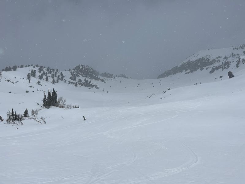
Photo of aggregated snowflakes falling at 8,700' (Snowflakes were 1.5" round)
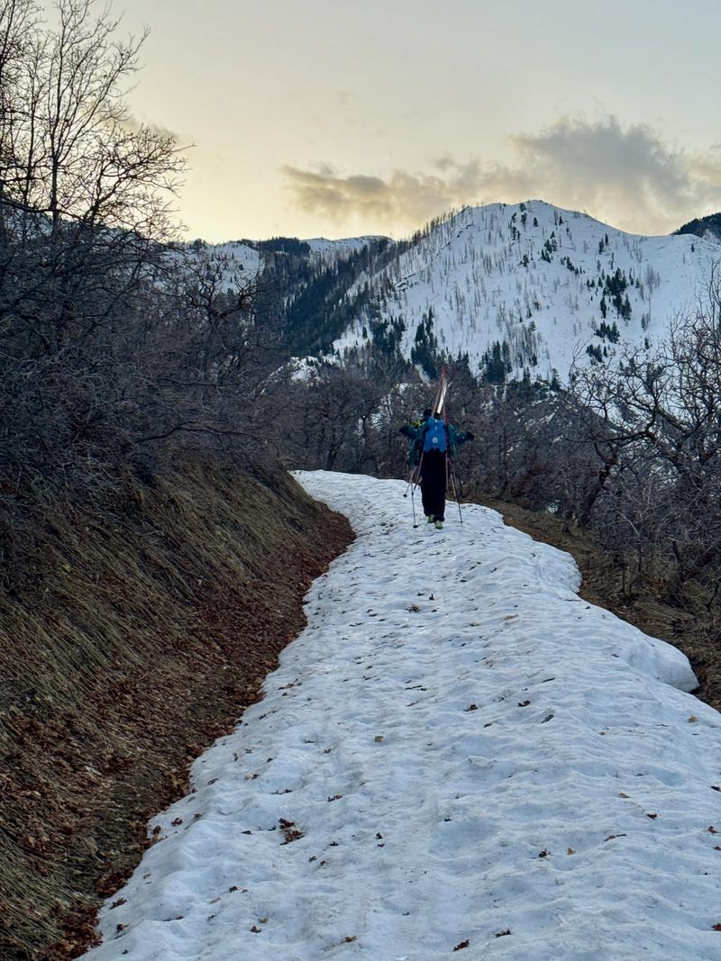
Photo of lower elevation travel
Photo showing snow surface 8,500' with cloud deck in the background. Clouds rolled in/out during the AM hours with light snow flurries
Today's Observed Danger Rating
Low
Tomorrows Estimated Danger Rating
Low
Coordinates