Observation Date
3/2/2024
Observer Name
Pavlantos
Region
Salt Lake » Park City Ridgeline » Scotts Backdoor
Location Name or Route
Scotts Back Door Area
Red Flags
Red Flags
Wind Loading
Cracking
Poor Snowpack Structure
Avalanche Problem #1
Problem
Wind Drifted Snow
Trend
Increasing Danger
Problem #1 Comments
Winds were knock you over / Strong all morning. Drifting on all aspects at mid and upper elevation. Switched from SSW to West by noon today. Note a significant amount of Dust in new snow and wind transported snow observed.
Avalanche Problem #2
Problem
New Snow
Trend
Increasing Danger
Problem #2 Comments
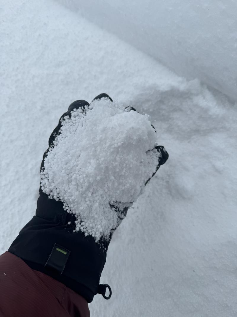
New overnight snow consisted mostly of .5mm -1mm Grauple. Grauple pooling significant in lower angle aprons from both wind and steep slopes above. I suspect this will be an issue when overloaded with more new snow storm
Snow Profile
Aspect
Southeast
Elevation
8,900'
Comments
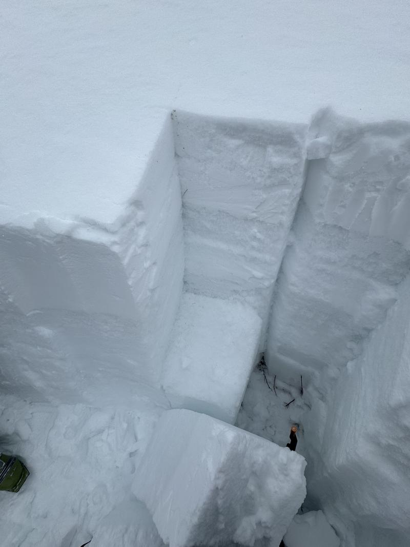
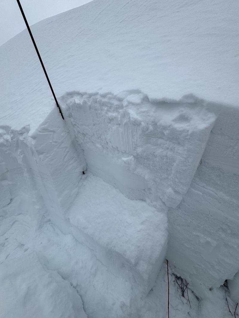
Found a nice test slope SSE. 38 degrees at 8900'. HS175cm. ECTP 27 Down 67cm SC failing on rounding facets under 1cm thick crust layer. CTM Down 67cm..
Today's Observed Danger Rating
Considerable
Tomorrows Estimated Danger Rating
Considerable
Coordinates


