Observation Date
2/24/2024
Observer Name
Craig Gordon/Joey Manship/Mac Talty
Region
Uintas » Chalk Creek
Location Name or Route
Upper Chalk Creek
Weather
Sky
Clear
Wind Direction
West
Wind Speed
Calm
Weather Comments
Stunning day on the eastern front
Snow Characteristics
New Snow Depth
10"
New Snow Density
Low
Snow Surface Conditions
Powder
Snow Characteristics Comments
Cold, dry on the polars, topped with some beautiful SH... hot pow on the solars
Red Flags
Red Flags
Poor Snowpack Structure
Red Flags Comments
Deep snowpack zones feel strong and stable, but steep, rocky terrain with a shallow pack are squarely in the bulls-eye
Avalanche Problem #1
Problem
Persistent Weak Layer
Trend
Same
Problem #1 Comments
Deep snowpack zones like in the image above, feel strong and stable, but steep, rocky terrain with a shallow pack at squarely in the bulls-eye
Avalanche Problem #2
Problem
Wind Drifted Snow
Trend
Decreasing Danger
Problem #2 Comments
Large corni guard steep, wind drifted slopes in the alpine.
Snow Profile
Aspect
North
Elevation
9,000'
Slope Angle
15°
Comments
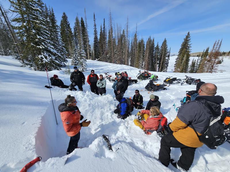
We had a great morning spreading the avalanche gospel to a crew of local sledders and their families. Here, Craig gives the 411 on the current snowpack structure and overview on how to interpret layers in the snowpack.
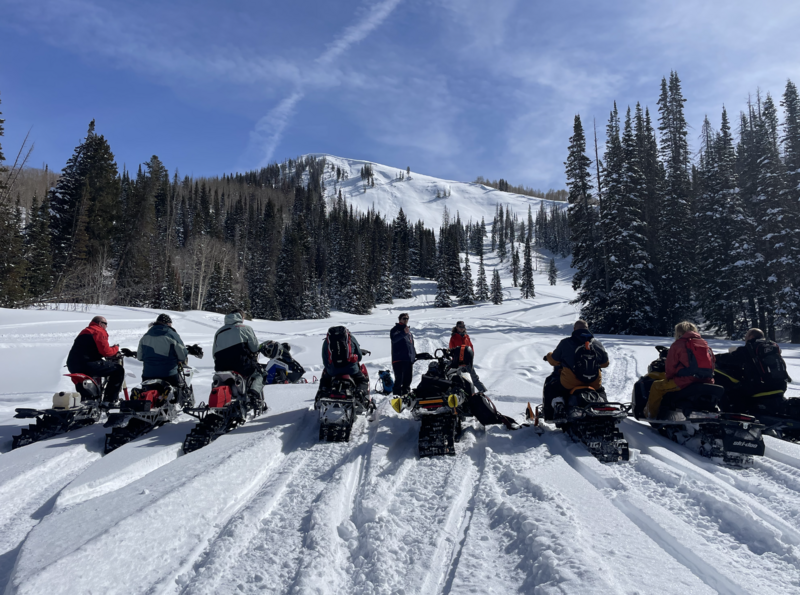
Joey and Mac deliver an overview on where to post up safely, whilst keeping eyes on their partner.
Today's Observed Danger Rating
Considerable
Tomorrows Estimated Danger Rating
Considerable
Coordinates


