Observation Date
2/23/2024
Observer Name
Tim Matthews, Nate Ament
Region
Moab
Location Name or Route
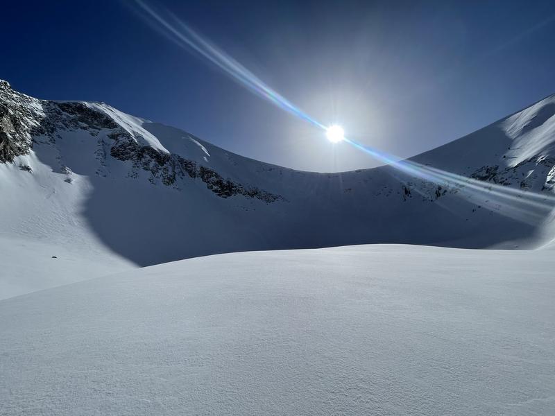
Gold Basin, Tele Gold, Red Snow Cirque.
Weather
Sky
Clear
Wind Direction
Northwest
Wind Speed
Calm
Weather Comments
Morning hour winds were from the NW, and pivoted to the NE by afternoon. Topped out today in Red Snow Cirque at 11,150'. In all the terrain we traveled in today the winds didn't exist. Calm all day. Didn't ever notice a breeze. On the drive up I was able to observe snow transport off upper Tuk No loading the south, but that was short lived and didn't notice anymore transport all day long.
Snow Characteristics
Snow Surface Conditions
Powder
Dense Loose
Damp
Snow Characteristics Comments
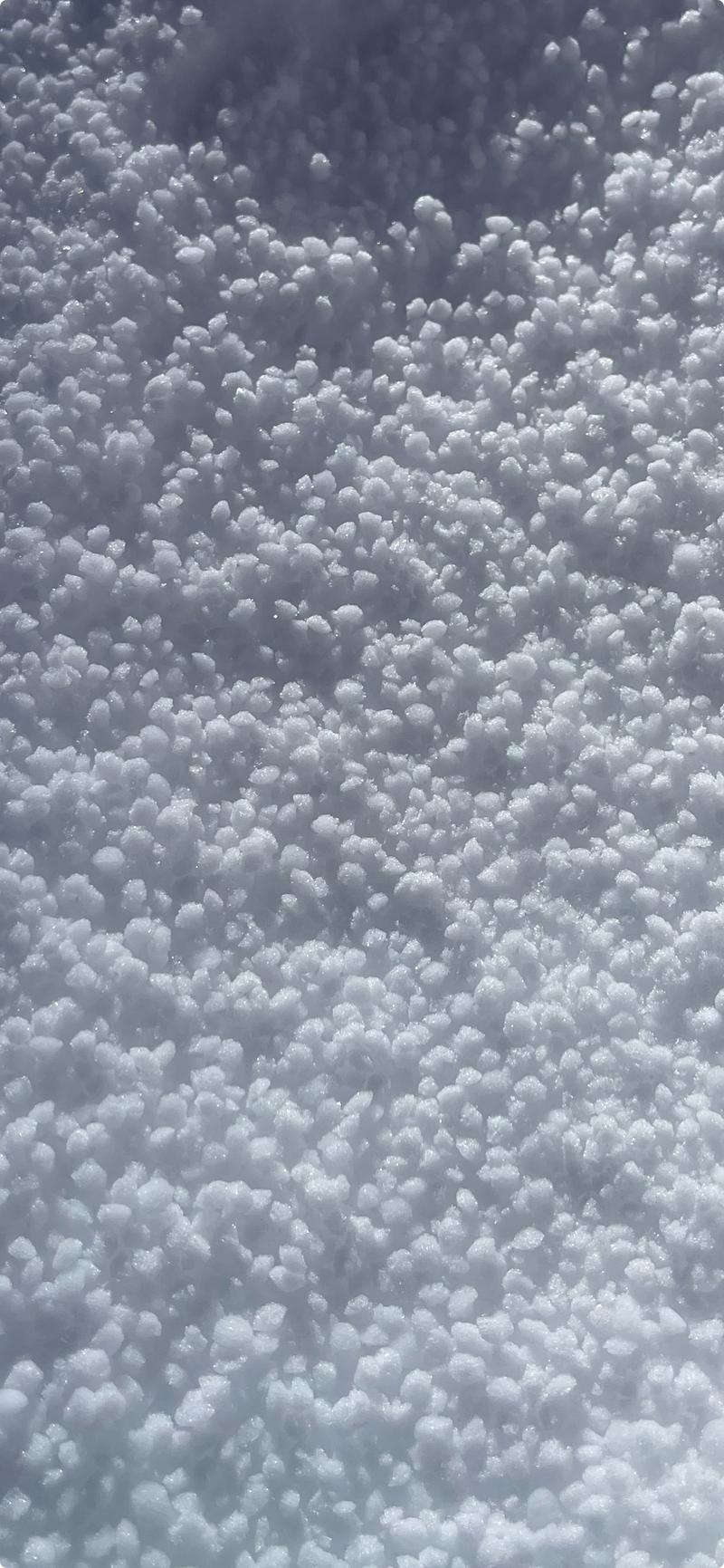
A day of fast graupel surfing was had. NW-N-NE held cold dry snow and was a treat to ski. Low angle slopes skied fast and fun. E-S-W took on solar input and will be further crusted tomorrow morning.
Red Flags
Red Flags
Poor Snowpack Structure
Red Flags Comments
The only red flags observed today were from probing into the snow and feeling for strong over weak structure. At the bottom of Tele Gold the HS is 145cm, and at the top of the run there was 160cm of snow. The bottom 30cm of the pack felt very soft.
Avalanche Problem #1
Problem
Persistent Weak Layer
Trend
Same
Problem #1 Comments
This problem continues to be tricky. Low probability of triggering right now, but if you manage to do so the outcome would be grim. The last avalanches reported to be triggered into old weak snow are from 2/7/24. I'd love to see how this layer handles another large loading event. Shallow, rocky and steep areas should remain suspect facing W-N-SE NTL and above.
Avalanche Problem #2
Problem
Wind Drifted Snow
Trend
Decreasing Danger
Problem #2 Comments
Didn't notice any signs of wind slabs in the terrain we traveled in today. Calm winds very little to no transport in terrain above tree line. Decreasing danger in the short term.
Snow Profile
Aspect
Northeast
Elevation
10,400'
Slope Angle
21°
Comments
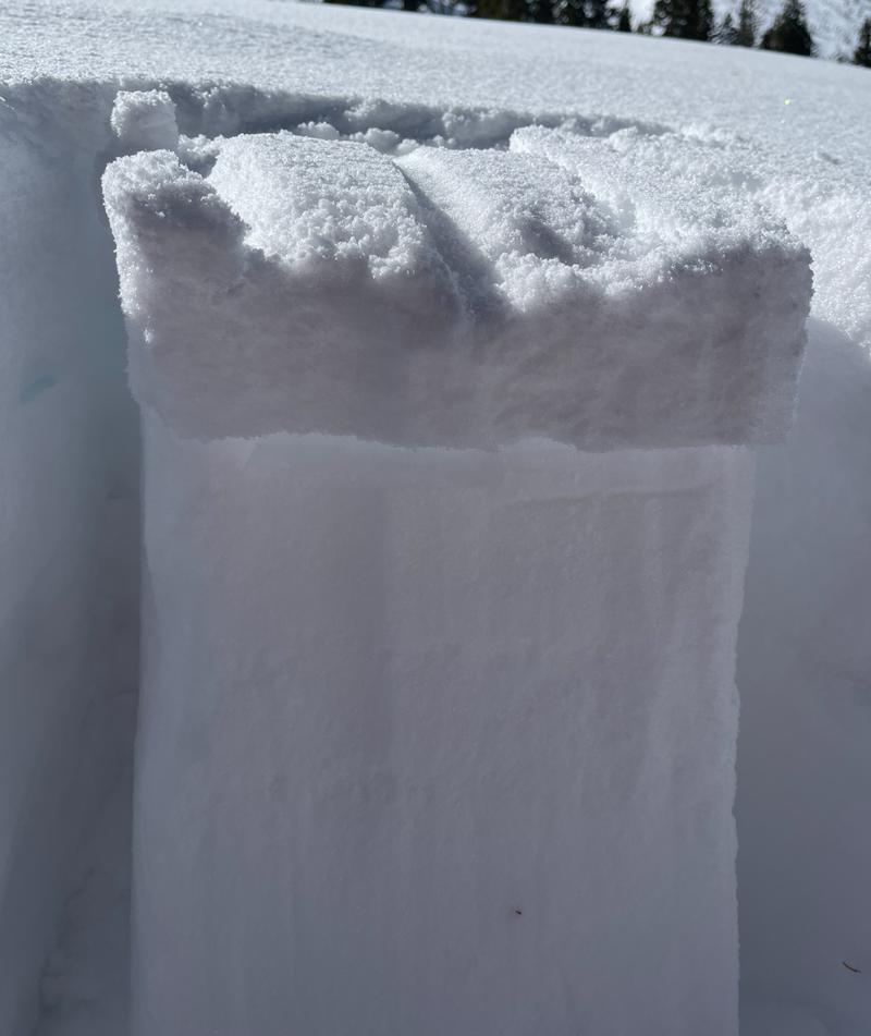
Quick pit at the bottom of Tele Gold. The upper couple inches of graupel 3-5mm was pouring out of the pack and into our skin tracks in all the terrain we broke trail into today. I wanted to see how well it had bonded to the surface it fell on. Quick CT proved it wasn't bonded very well. CTE RP down 10cm failing on .5-1mm decomposing and fragmented grains. Just curious as this layer and interface could become buried with the upcoming Monday and Tuesday storm. Something to keep an eye on once we add a slab.
Today's Observed Danger Rating
Moderate
Tomorrows Estimated Danger Rating
Moderate
Coordinates


