Observation: Tuscarora

Observation Date
2/19/2024
Observer Name
Wessler
Region
Salt Lake » Big Cottonwood Canyon » Tuscarora
Location Name or Route
Tuscarora/Wolverine
Weather
Sky
Overcast
Precipitation
Moderate Snowfall
Wind Direction
Southeast
Wind Speed
Strong
Weather Comments
Blustery up on the ridgeline late this afternoon. Areas exposed to SE flow along the Tuscarora-Wolverine-Patsey ridgeline absolutely hammered by strong sustained wind with pulses of stronger gusts - pretty turbulent flow with some shifts in direction, but south was the theme. Honeycomb site showing SSE with gusts to 40 mph at the time, Baldy SSW gusts to 60 mph. Steady lowering of the cloud deck throughout the walk, with precip finally filling in around 3PM. Lots of rimed dendrites - when you could isolate falling precipitation from the blowing snow.
Snow Characteristics
Snow Surface Conditions
Dense Loose
Wind Crust
Melt-Freeze Crust
Rain-Rime Crust
Snow Characteristics Comments
Mixed bag of everything, but the bottom line is lots of wind affected snow, forming slabs above either a 2-3cm solar crust or sitting on top of lower density new snow and/or graupel. Most notably, widespread areas of wind affected snow was found down in typically sheltered areas below Twin Lakes pass at 9400'. Small test slope here proved productive with a soft slab breaking ~30 cm deep on unconsolidated new snow.
Ascending Tuscarora from Catherine's, noted a recent rime crust, and walking the ridgeline above Wolverine Cirque, the windward (southerly) slopes were scoured down to a solar crust and some photogenic sastrugi - pretty, but not great skiing. Cornices are growing quite large for the first time this season, and are becoming overhung onto the North and East sides of the ridge in this area.
Red Flags
Red Flags
Recent Avalanches
Wind Loading
Avalanche Problem #1
Problem
Wind Drifted Snow
Trend
Increasing Danger
Problem #1 Comments
Sensitive zones that were productive on Sunday (re: petticoat) being reloaded, and widespread soft slab/hard slab development underway throughout the zone. Various near-surface weak layers noted throughout the tour - with this evening's wind and tonight/tomorrow's new snow, definitely concerned about energetic slab hiding under lower density powder if the winds die down before it's all over.
Comments
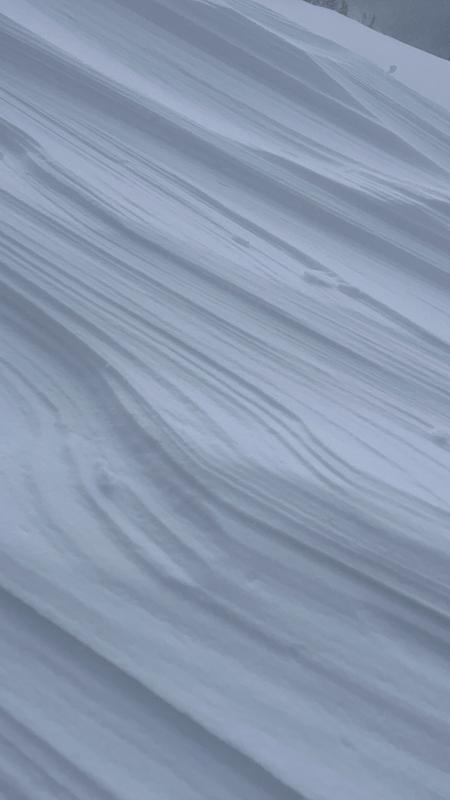
Nice walk around the boundary, getting blasted by wind, graupel, and blowing snow in the alpine. While the next storm is just revving up, already feels a bit spooky up high, and while the leeward slopes were fairly supportable and not quite skiing upside down, wind affected snow tainted the skiing ridge to parking lot - where there wasn't wind affected snow, solar had done its damage. Welcome the new storm for a refresh, but tread lightly and carefully. Noted some sections of skintrack tickling the edge of overhanging cornice - give these an extra wide berth.
Video
Today's Observed Danger Rating
Considerable
Tomorrows Estimated Danger Rating
Considerable
Coordinates