
Observation Date
2/9/2024
Observer Name
Champion, Beyer
Region
Salt Lake » Big Cottonwood Canyon » Butler Fork
Location Name or Route
Butler Fork, Mill A
Comments
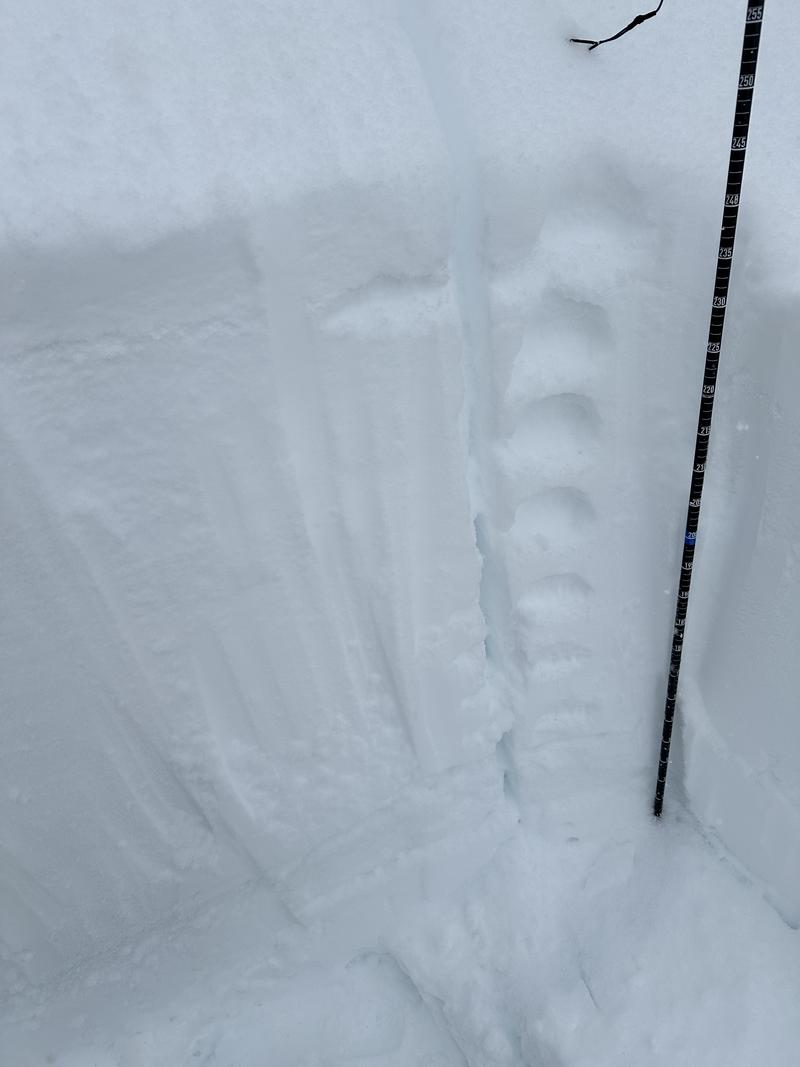
The primary concern today was the new snow instabilities. We toured up Butler Fork to get a look at both East and West-facing aspects in the mid-elevation band. The Park City ridgeline/Mill Creek zone has been a bit thinner and a bit more suspect compared to the upper Cottonwoods. So I also just wanted to check snow depths and the overall location of the facets. On the East-facing aspect, below the ridgeline and out of the wind zone at 8450', we found a surprising 250cm of snow. It seems like that area got heavily favored in this most recent overnight system, being a little lower in the canyon and elevation. The top 90 cm was soft, fist to four-finger hardness snow. There was noticeable graupel 10 cm down within the soft snow. On this aspect, we did not find a notable crust; the hardness just slowly increased to 1F, and we did not dig down to the ground until we reached the 1F snow, which represented the new snow/old snow interface. On the East-facing aspect, we got ECTX, and no other instabilities within the surface snow. No collapsing, and no true cohesion in the layer.
E facing aspect - 8450'
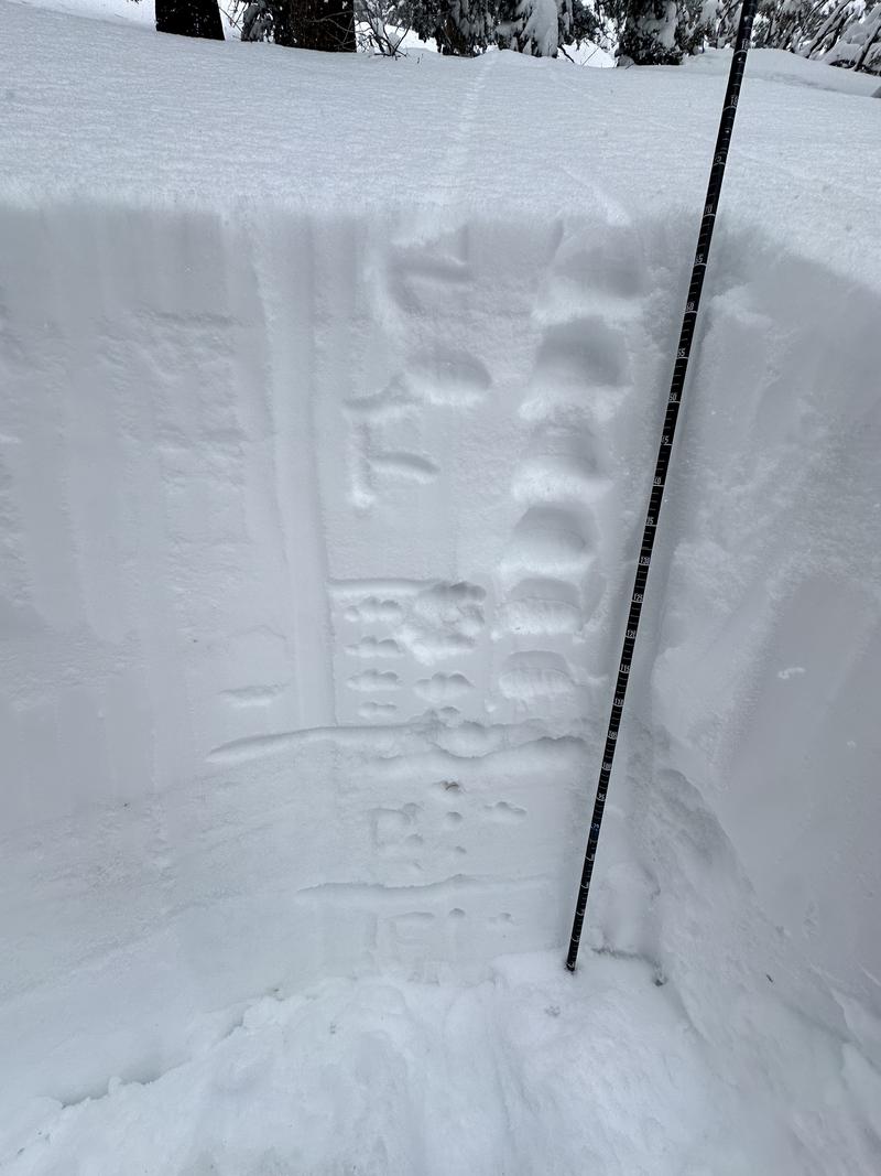
On the west-southwest-facing aspect, also below the ridge at 8370', we found a shallower snowpack of 170cm. Similarly, the snow pit had 65 cm of soft snow, fist-hard to four-finger, but this time it was sitting atop a knife-minus hardness solar or melt-freeze crust 5cm deep, on top of a pencil-hard layer. Even with the shallower snowpack and supportable crust, we got ECTX again, no obvious cohesion or collapse.
SW facing aspect - 8370'
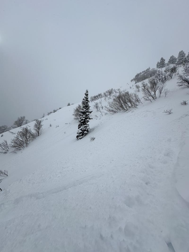
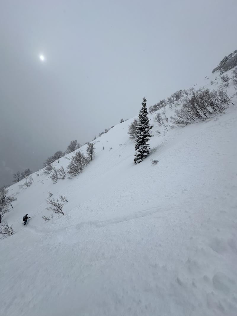
On the way out we dropped into a true south facing aspect, and instantly found the snow to be a bit more cohesive. In hand pits we could not get any shearing, but towards the bottom of the run, there was recent shallow soft slab evidence. These soft slabs were very shallow, only a few inches, looking to have run during the increased periods of high PI early this morning on the graupel layer.
Today's Observed Danger Rating
Considerable
Tomorrows Estimated Danger Rating
None
Coordinates


