Observation Date
1/27/2024
Observer Name
Craig
Region
Uintas » Weber Canyon
Location Name or Route
Mid Weber Canyon
Weather
Sky
Few
Wind Direction
Northeast
Wind Speed
Light
Weather Comments
A mixed bag... beautiful start to the day was high-jacked by a moist band of low level clouds that trapped in AM heat and greenhoused many lower and some mid elevation terrain where I traveled. Didn't change the avy hazard, rather, threw a cargo net on the snow surface.
Snow Characteristics
New Snow Depth
3"
New Snow Density
High
Snow Surface Conditions
Powder
Damp
Snow Characteristics Comments
Portions of the Uintas are fat and white, looking more like mid February rather than late January. I'm slowly stepping onto low angle slopes on the fringes of big terrain, safely nibbling at the edges in terrain I know produced big avalanches during the mid January storm cycle. You're rolling the dice traveling near these giants unless you have an intimate feel for and have been tracking the history of this winters snow.
Red Flags
Red Flags
Recent Avalanches
Poor Snowpack Structure
Red Flags Comments
Trending towards more predictable, but I'm treating the snowpack as guilty proven otherwise.
Avalanche Problem #1
Problem
Persistent Weak Layer
Trend
Same
Problem #1 Comments
Dormant PWL is quiet now, but shouldn't be ignored, especially if and or when, winter returns from its hiatus.
Comments
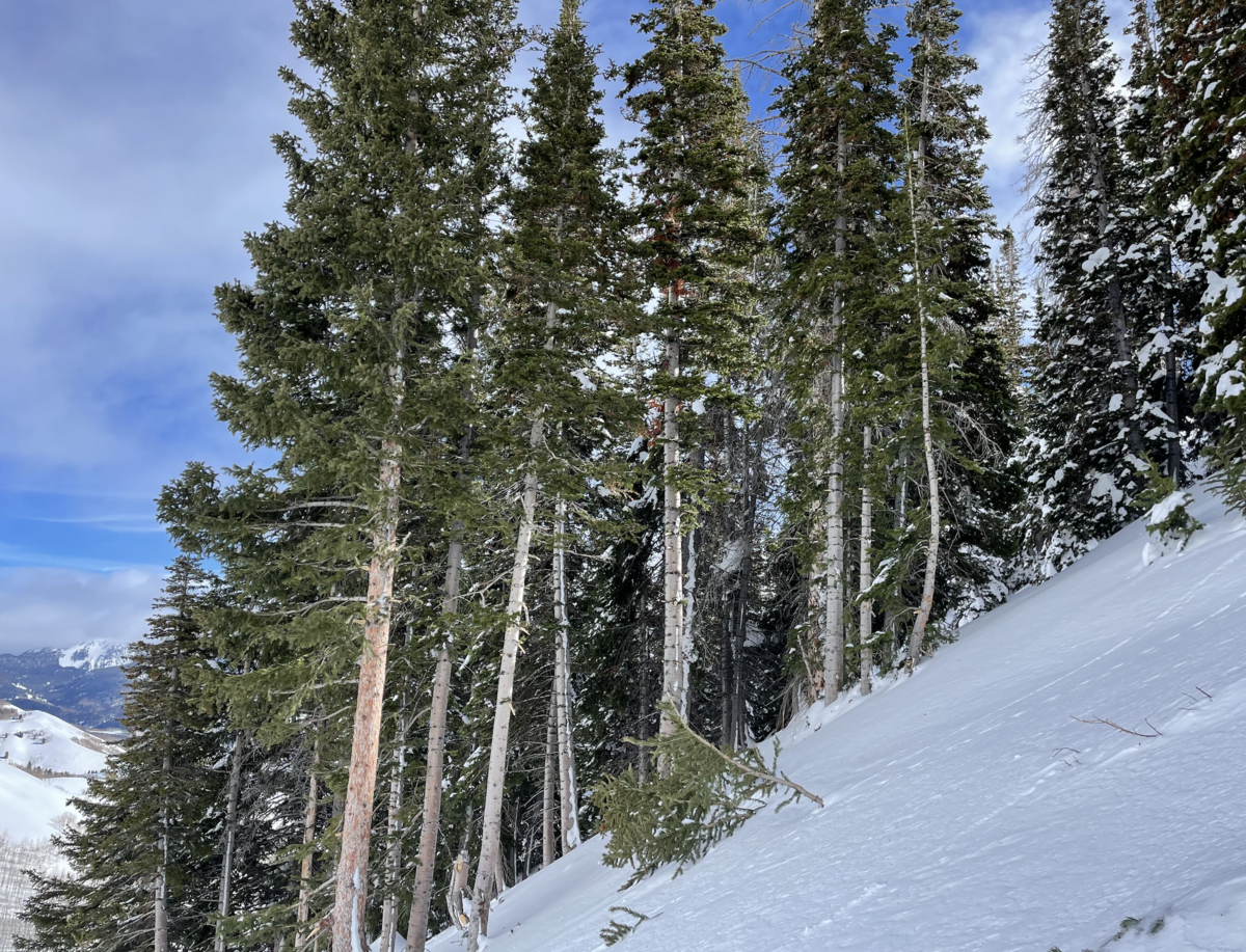
Broken branches. new trim lines, and powder blasts stretching 40' high on the uphill side of tress suggest, with profound affirmation... this slope produced a very large slide during the Jan. 14th storm cycle.
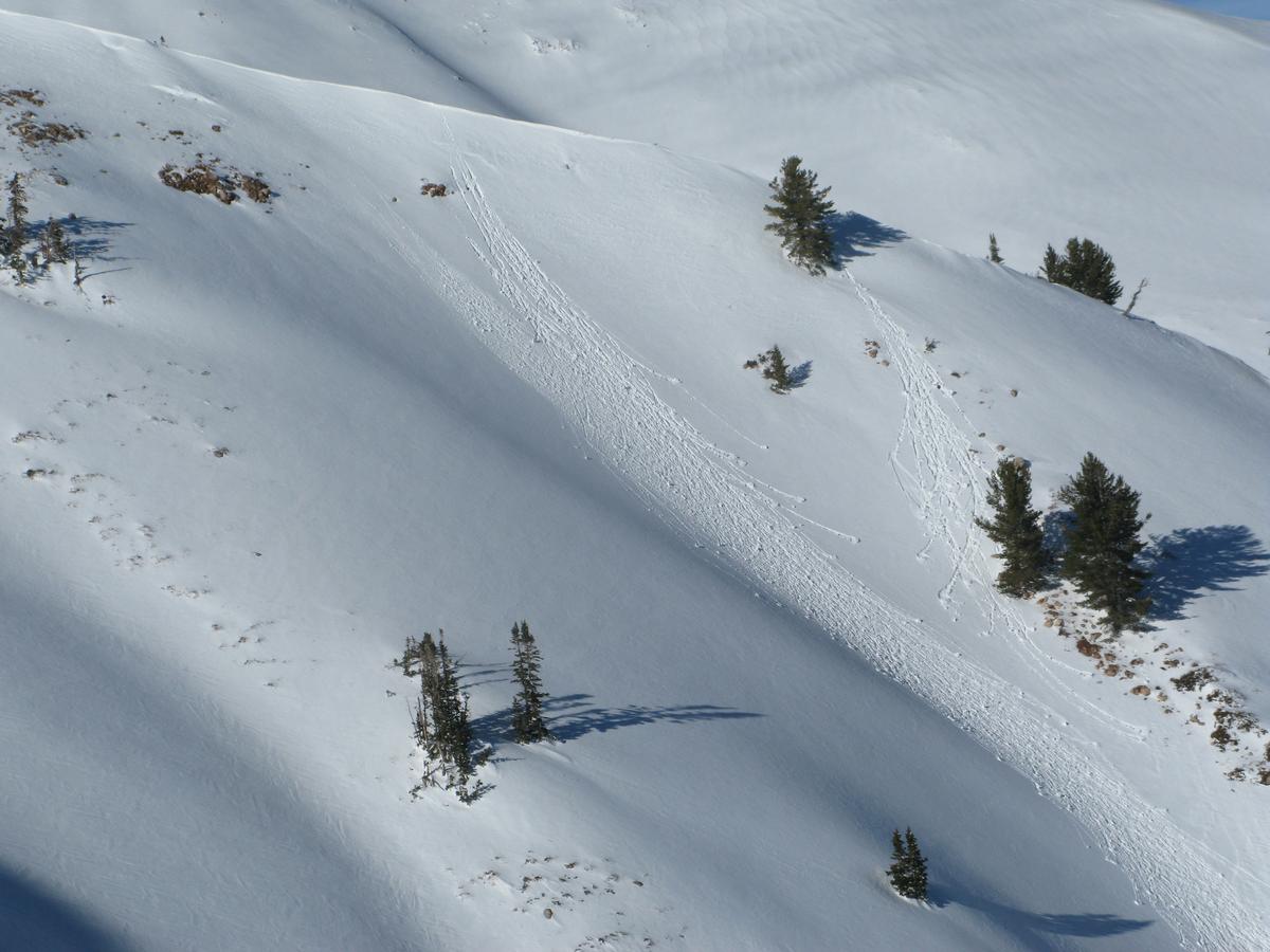
A few upper elevation south facing terrain got sun kissed and took on heat yesterday.
Today's Observed Danger Rating
Moderate
Tomorrows Estimated Danger Rating
Moderate
Coordinates