Observation: Reynolds Peak

Observation Date
1/15/2024
Observer Name
Champion, Wilson
Region
Salt Lake » Big Cottonwood Canyon » Mill D North » Butler Fork » Reynolds Peak
Location Name or Route
Mill D - Reynolds
Weather
Sky
Few
Wind Direction
West
Wind Speed
Moderate
Weather Comments
Clear, cold day with a few high clouds. Nice to see the sun. Winds were generally light in the afternoon, with moderate gusts along the ridgelines.
Snow Characteristics
New Snow Depth
2'
New Snow Density
Medium
Snow Surface Conditions
Powder
Wind Crust
Snow Characteristics Comments
Anywhere between 2-2.5' of new snow from this past storm cycle. Generally inverted, coming in warmer Saturday evening into Sunday. Obvious wind-texture on almost all aspects.
Wind texture visibile across drainage
Red Flags
Red Flags
Recent Avalanches
Heavy Snowfall
Poor Snowpack Structure
Red Flags Comments
The first day of clear weather finally granted us a clear view of the aftermath of the recent storm cycle. There was widespread avalanche activity evident, with many crowns appearing to have already blown in. Some had cleaner crown lines, indicating they may have broken later in the storm cycle or even this morning. Despite the known existence of poor snowpack structure, along with heavy snowfall and recent avalanches, our crossing of smaller steep slopes did not result in any cracking or collapsing.
Avalanche Problem #1
Problem
Persistent Weak Layer
Trend
Same
Problem #1 Comments
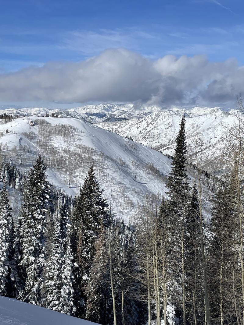
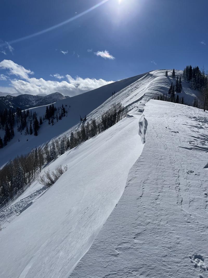
The persistent weak layer remains the primary concern. Elevated winds and new snow present their own challenges, adding to the existing issues with the weak snow at the base of our snowpack. The introduction of significant stressors, in the form of water weight and wind, has led to the burial of this weak layer at depths ranging from 2 to 6 feet.
The potential danger arises if a slab of wind-drifted snow or new snow fails, with the potential to propagate deeply into the snowpack, resulting in a deadly avalanche. The persistent weak layer remains the primary concern for that reason, even if the number of avalanches failing into the faceted snow is not as evident.
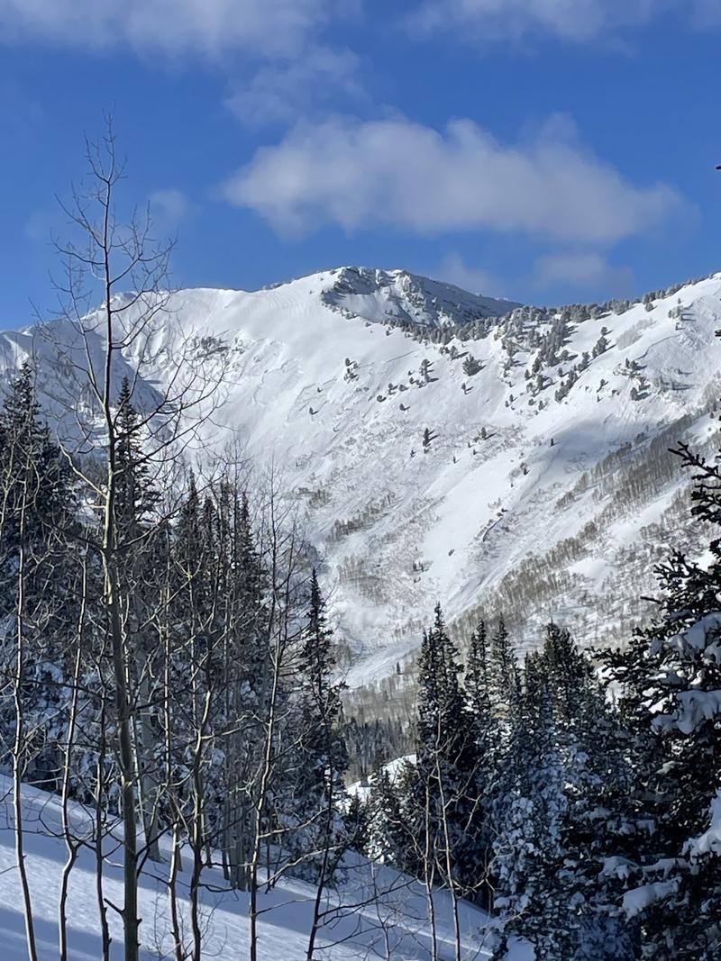
The challenge with persistent weak layers lies in their subtle presence within the snowpack, not always offering obvious clues. In the next day or two, less obvious signs of instability may emerge, but the risk of dangerous avalanche conditions will persist on this layer.
Even as the danger decreases, I am personally going to avoid riding in avalanche terrain where I know that this persistent weak layer exists.
Avalanche Problem #2
Problem
Wind Drifted Snow
Problem #2 Comments
Today, the signs of both current and past transport were obvious. Ridgelines displayed significant scouring, snow drifted visibly, and texture extended down to the trees. With sustained elevated winds, the wind slabs are expected to become more cohesive, enabling skiers or riders to venture further onto the slope before potential failure. Signs like cracking and collapsing may become less apparent over the next few days.
Comments
Some recent avalanches, more in-depth reports within the observations.
Video
Today's Observed Danger Rating
High
Tomorrows Estimated Danger Rating
None
Coordinates