Observation Date
1/4/2024
Observer Name
Staples, Champion, Kelly, Kelly
Region
Provo » Snake Creek » Ant Knolls
Location Name or Route
Ant Knolls Region
Comments
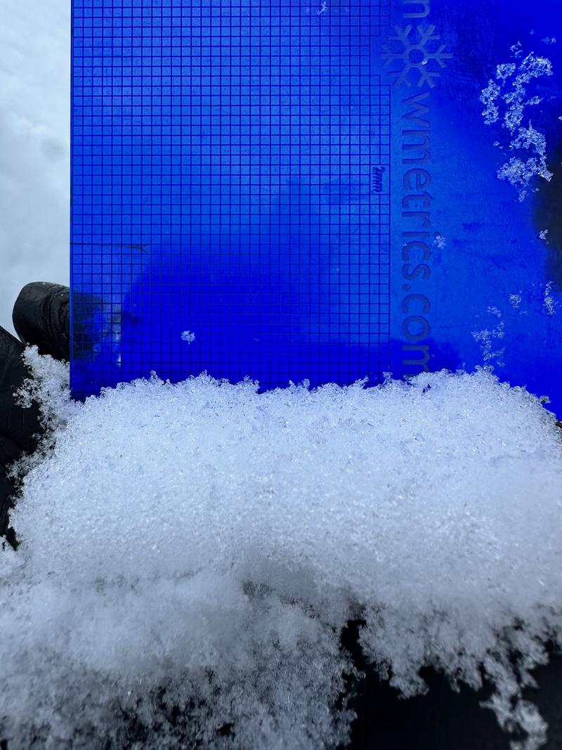
Total height of snow was 18" (45cm) and was dry throughout the snowpack. The structure was poor, but the stability was good because we did not have any slabs on top of the weak snow. This could change in the coming days with our forecasted storms and I would expect the avalanche danger to rise as we add more new snow onto this weak snowpack. In other locations at 7900' we found very weak snow throughout the snowpack and the surface had about an inch of very light density new snow that had preserved some near surface facets above a dry crust. This layer above the surface was weak. Facets on both sides of this crust are very fragile and will fail with additional weight in steep terrain.

Zoomed in photo of weak snow above the crust where the failure occurred in the video below.
Video
Video
Today's Observed Danger Rating
Low
Tomorrows Estimated Danger Rating
None
Coordinates


