Sign Up for the Utah Snow and Avalanche Workshop (USAW) on December 7th!

Observation: Days Draw

Observation Date
12/22/2023
Observer Name
Torrey & Graves
Region
Salt Lake » Big Cottonwood Canyon » Days Fork » Days Draw
Location Name or Route
Days Fork
Weather
Sky
Broken
Wind Direction
Northwest
Wind Speed
Light
Snow Characteristics
New Snow Depth
4"
New Snow Density
Medium
Snow Surface Conditions
Powder
Faceted Loose
Melt-Freeze Crust
Damp
Snow Characteristics Comments
Thick and supportable melt-freeze crust below 8000'. Above 9000' surfaces transition to soft powder snow on shady aspects. Snow surfaces above 9000' were weakening with small near-surface facets developing and surface hoar.
Red Flags
Red Flags
Poor Snowpack Structure
Avalanche Problem #1
Problem
Wind Drifted Snow
Trend
Increasing Danger
Problem #1 Comments
We didn't observe any wind-transported snow today but now that there is soft snow available to drift and a variety of snow surfaces this is the problem we were looking for.
Avalanche Problem #2
Problem
Persistent Weak Layer
Trend
Increasing Danger
Problem #2 Comments
Weak snow near the surface exists on shady aspects above 9000'. Small grain near-surface facets buried beneath 2-4 inches of recent snow with 2mm surface-hoar above. HS 80-100cm @9500'. The layer of early season facets near the ground was moist, significantly firmer than areas with a shallower snowpack, and unreactive in our Extended Column Tests. Our PST propagated to the end of the block but broke irregularly instead of through a single layer.
Snow Profile
Aspect
Northeast
Elevation
9,600'
Slope Angle
30°
Comments
Photo 1: Surface hoar
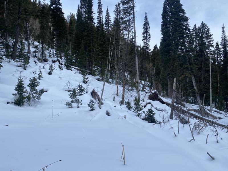
Photo 2: Still thin coverage below 8000'
Today's Observed Danger Rating
Low
Tomorrows Estimated Danger Rating
Moderate
Coordinates