Observation Date
12/20/2023
Observer Name
Torrey & Davis
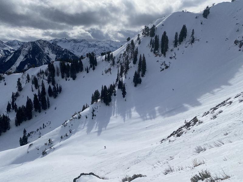
Region
Salt Lake » Big Cottonwood Canyon » Butler Fork » Butler Basin
Location Name or Route
Butler Basin
Today's Observed Danger Rating
Low
Tomorrows Estimated Danger Rating
Low
Coordinates


