Observation Date
12/12/2023
Observer Name
brian smith
Region
Ogden » Ben Lomond » Rodeo Ridge
Location Name or Route
rodeo ridge area
Comments
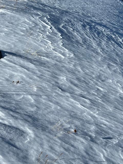
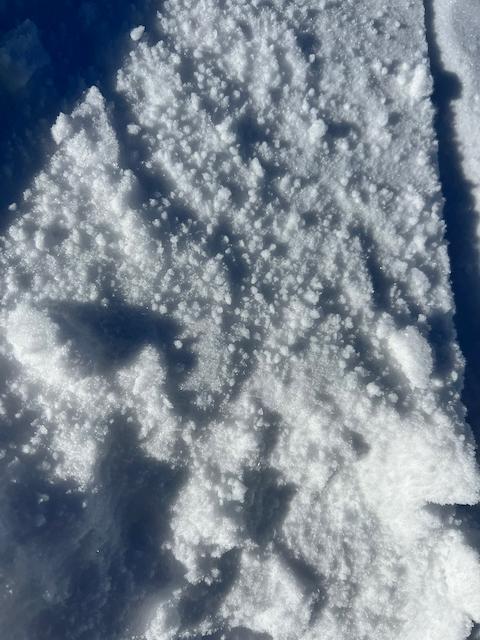
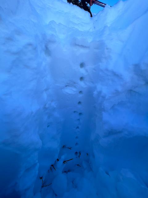
Photos:
1. Wind scoured ridge
2. Near surface grauple
3. Pit at 7800ft.
Today's Observed Danger Rating
Low
Tomorrows Estimated Danger Rating
Low
Coordinates