Observation: Aspen Grove

Observation Date
12/4/2023
Observer Name
Kelly, S. Mayer
Region
Provo » Provo Canyon » North Fork Provo R. » Aspen Grove
Location Name or Route
Bobby's Drainage
Weather
Sky
Broken
Wind Speed
Calm
Weather Comments
Calm winds, warm temperatures reading 36° at the Timp Divide Snotel. Skies were broken with high clouds in/out during the tour.
Snow Characteristics
New Snow Depth
10"
New Snow Density
High
Snow Surface Conditions
Damp
Snow Characteristics Comments
There was approximately 10" of settled snow depth. All the snow we ran into today was saturated to the ground. Snow heights ranged from 14-18" of snow with either a very damp surface or a melt/freeze crust in the shady aspects. We observed roller balls above the road cuts (pic below) as well as some wet loose rollerballs in the Elk Point area. Snow was damp and shallow. I would imagine higher elevation Provo Mountain snowpack more similarly resembles upper Big and Little Cottonwood Canyons. Where we traveled today was Low danger because there was no slab over the weak snow and it was a very shallow snowpack. Our biggest concern where we were was hitting rocks and logs and stumps.
Early in the season I have high level of uncertainty with avalanche hazard and conditions and there is a great paper by Roger Atkins "Yin, Yang, and You" that I like to reread every season. His paper talks about strategic mindset. This decision making tool has been adopted throughout the avalanche industry as a way to manage risk when choosing what terrain to engage with at different times of the season.
Red Flags
Red Flags
Rapid Warming
Avalanche Problem #1
Problem
Wet Snow
Trend
Same
Problem #1 Comments
Snow Profile
Aspect
East
Elevation
7,800'
Slope Angle
32°
Comments
Went to look at potential persistent weak layer in the Aspen Grove area, in the Provo Mountains. Snowpits on aspects N-E-S showed 14-18" of saturated snow with wet facets on the ground. Snow surface was damp or melt-freeze crust. In areas we traveled there was no slab over the weak layers. Worth watching these thinner areas below 8,000' for the future problems with this week's forecasted high pressure and thin snowpack which will drive rapid faceting and could be the next weak layer if it doesn't melt first.
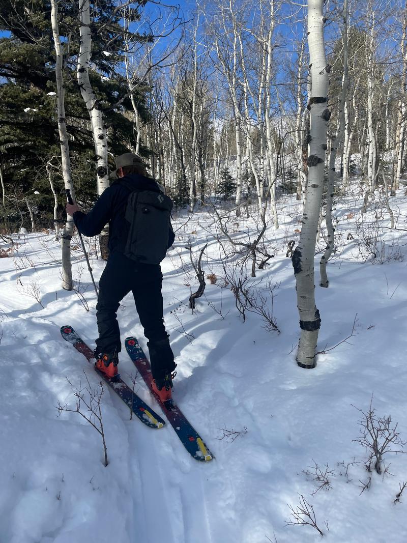
Photo above Snowpit (graphed) 7800' east facing
Photo above quick pit
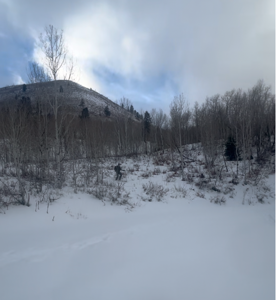
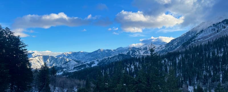
Below Photos 1 and 2 showing thin coverage. Photo 3 looking south
Today's Observed Danger Rating
Low
Tomorrows Estimated Danger Rating
Low
Coordinates