Observation Date
12/2/2023
Observer Name
Ted Scroggin
Region
Uintas » Bear River » Hayden Fork
Location Name or Route
Hwy 150, Hayden Fork Drainage
Weather
Sky
Obscured
Precipitation
Light Snowfall
Wind Direction
West
Wind Speed
Calm
Weather Comments
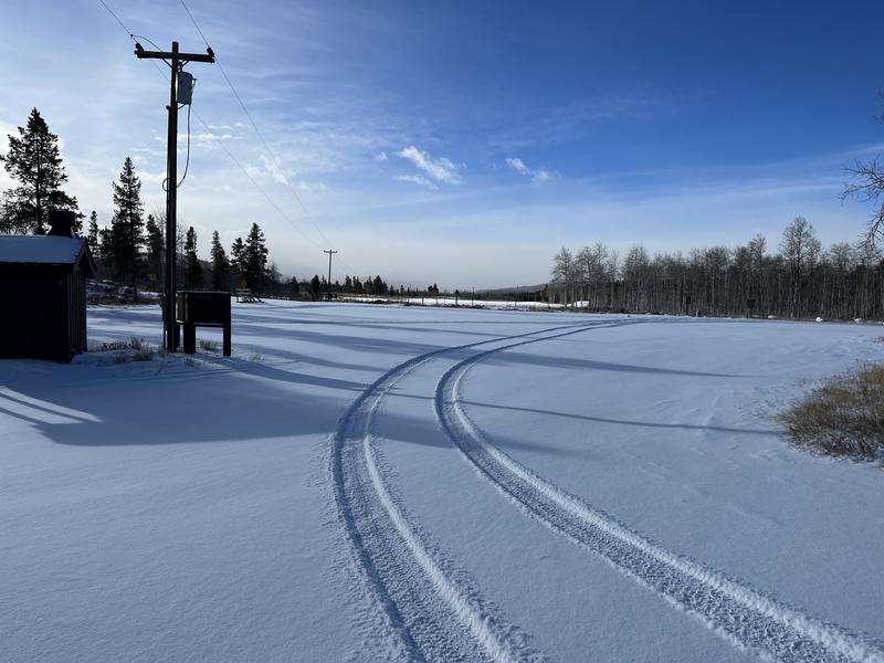
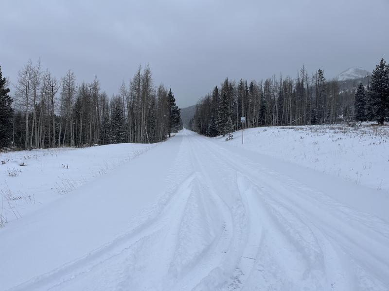
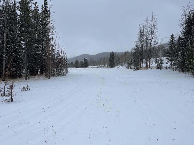
Calm conditions around the north slope trailhead this morning and light snow further up the Mirror Lake Highway. The high elevation terrain stayed mostly in the clouds with some partial breaks of blue sky around 8,300' near the trailhead. Fairly cold temperatures and just light winds where I traveled.
Snow Characteristics
New Snow Depth
10"
New Snow Density
Low
Snow Surface Conditions
Powder
Snow Characteristics Comments
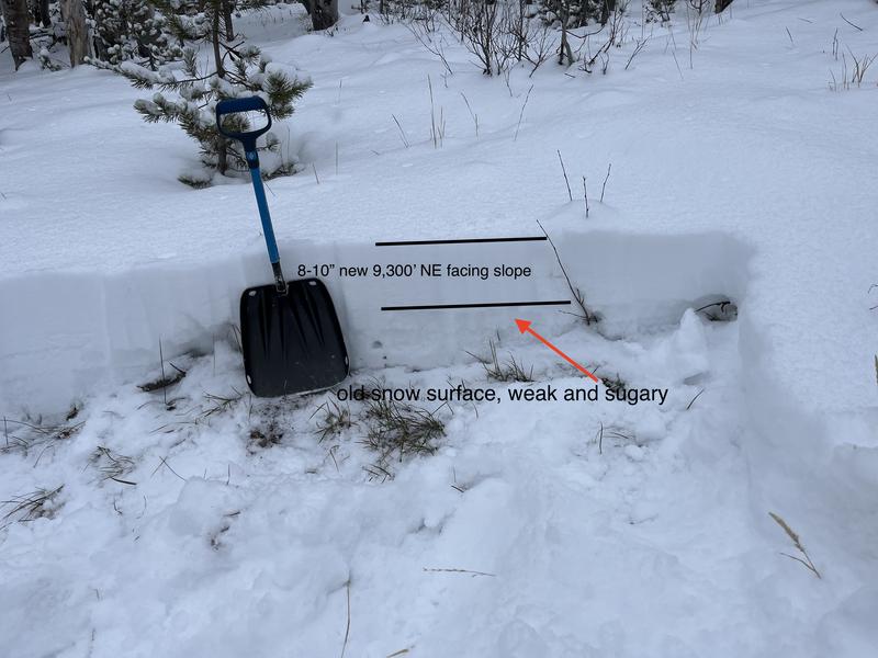
Generally 4-5 inches of light density snow this morning at the north slope trail head and increasing to 8-10 inches around 9,300'. I talked with a couple folks who did drive as far as Hayden Pass and reported 12-16 inches and drifting on the road.
Red Flags
Red Flags
Heavy Snowfall
Wind Loading
Poor Snowpack Structure
Red Flags Comments
I did not see a lot of high elevation terrain today, but would imagine strong winds and heavy snow fall have created a considerable avalanche hazard as was reported this morning on the forecast. The snow pack has been mostly just weak sugary faceted snow that will struggle to support a new load of snow and wind.
Avalanche Problem #1
Problem
Persistent Weak Layer
Trend
Increasing Danger
Comments
A few new inches of snow this morning at the north slope trail head which is 8,300' in elevation and upwards of 8-10 inches around 9,300'. One report of 12-16 inches of new snow and drifting on the highway around Hayden Pass.
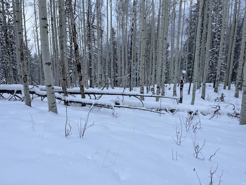
The travel conditions are still quite thin and rough below about 10,000' and would guess that things are beginning to fill in with this storm at the upper elevations.
Today's Observed Danger Rating
Considerable
Tomorrows Estimated Danger Rating
Considerable
Coordinates
