Observation Date
12/2/2023
Observer Name
Manship & Champion
Region
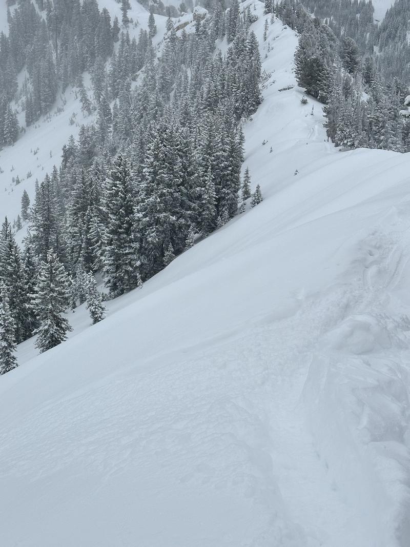
Salt Lake » Big Cottonwood Canyon » Silver Fork » West Bowl
Location Name or Route
West Bowl
Weather
Sky
Overcast
Precipitation
Light Snowfall
Wind Direction
West
Wind Speed
Light
Weather Comments
Moderate snow around 10 am, and precipitation tapered off over the next couple of hours. Winds were light gusting moderate on the ridgelines. Less visible signs of transport than expected. The sky remained mostly overcast with the occasional sunray creeping through.
Snow Characteristics
New Snow Depth
15"
New Snow Density
Low
Snow Surface Conditions
Powder
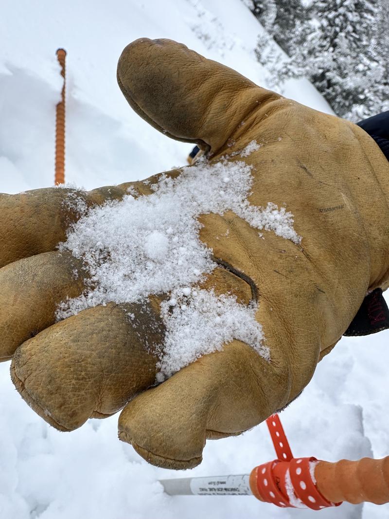
Snow Characteristics Comments
Light deep powder, but with no base. Some rimed grains along the surface.
Red Flags
Red Flags
Wind Loading
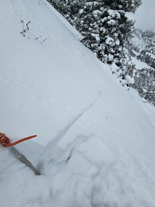
Cracking
Poor Snowpack Structure
Red Flags Comments
While the snow wasn't as touchy as expected, we were getting some cracking on south-facing steeper aspects that were from a density inversion in the new snow.
On slopes harboring old snow, the slab did not seem to be cohesive enough to start producing red flags where we traveled today. This will likely change as more snow/heavier snow/more wind comes in. The weak snow structure was still very present.
Avalanche Problem #1
Problem
New Snow
Trend
Same
Problem #1 Comments
Signs of instability and activity we noted all seemed to be within the new snow for now.
Avalanche Problem #2
Problem
Persistent Weak Layer
Trend
Increasing Danger
Problem #2 Comments
In areas where wind deposition has formed more of a slab I would expect this to become more reactive.
Comments
We noted a bit of a graupel layer about 20cm down within the snow. This combined with very low density snow below it seemed to be where there was shearing happening in the new snow.
We did not note any recent avalanches, there was some evidence of old dry loose avalanches that probably happened during the storm.
Today's Observed Danger Rating
Moderate
Tomorrows Estimated Danger Rating
Considerable
Coordinates