Sign Up for the Utah Snow and Avalanche Workshop (USAW) on December 7th!

Observation: Cottonwood Canyons

Observation Date
11/18/2023
Observer Name
Kelly
Region
Salt Lake » Cottonwood Canyons
Location Name or Route
Grizzly-Twin Lakes Pass
Weather
Sky
Broken
Precipitation
Light Snowfall
Wind Direction
West
Wind Speed
Light
Weather Comments
Overcast to broken skies with light snow falling. Winds were calm-light from the west-southwest.
Snow Characteristics
New Snow Depth
1"
New Snow Density
High
Snow Surface Conditions
Dense Loose
Snow Characteristics Comments
Below 9400' the snow was barely covering the summer surface on south-west facing aspects. Shady east and due north facing slopes were holding more snow. New snow was rimed- worth paying attention to the new/old snow interface to see how well it may have bonded to areas previously holding surface hoar above the crust.
Snow Profile
Aspect
North
Elevation
10,000'
Slope Angle
29°
Comments
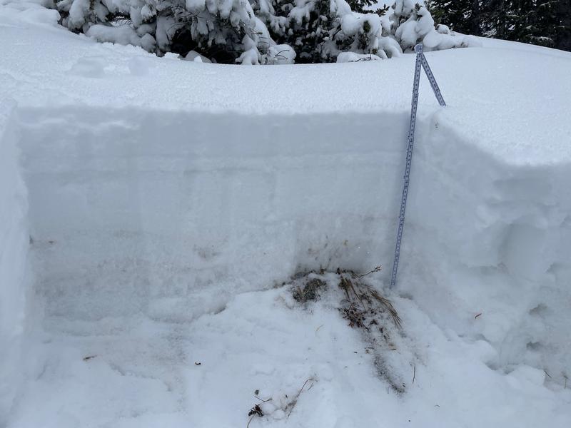
On north facing slopes at 10,000 feet, we found 20" of snow and at 9400’ we found 12". We found an assortment of breakable crusts with loose dry facets. What this means is that once we add more snow and wind to places that had snow on the ground, we will have increasing avalanche hazard.
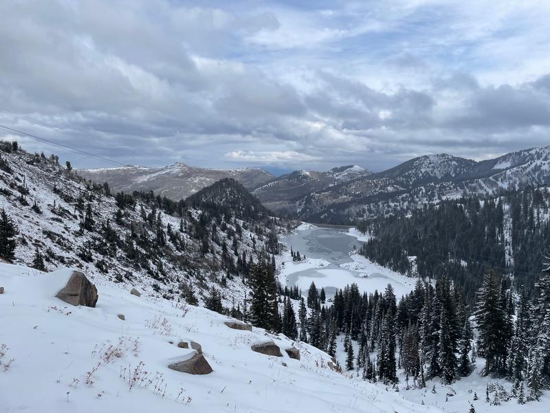
Looking north towards Big Cottonwood Canyon and the south facing Park City Ridgeline.
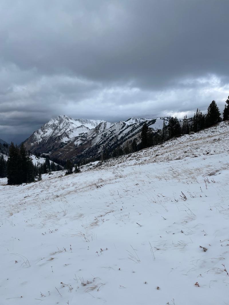
Looking west down Little Cottonwood Canyon.
Video
Today's Observed Danger Rating
None
Tomorrows Estimated Danger Rating
None
Coordinates