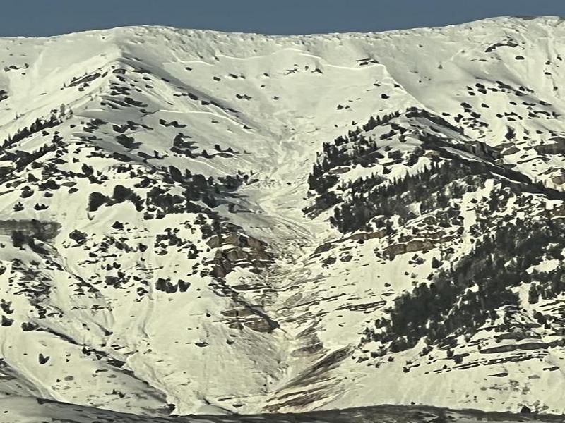
Cascade: I clicked "New Snow" cause there is six feet or more new from the last couple of weeks. Most of
the West-flank of Cascade hasn't moved or cleared since this Winter's snow pack started last year. At 7:20 there were additional very long crown fractures up high. Multiple mid-altitude areas that were probably a mix of slab
and loose snow pack. Plus, additional point releases fanned out & roller fests.
The Crown Fractures I saw were around 10,500' altitude. With at least one around 9500'. Long, but consistent with the high bowl terrain. I expect to see the Crown Fracture height to be in the 8' to 10' plus range. The higher fractures didn't go clear to the ground and might have broke on a deep weak layer. The lower one swept a high percentage to the ground & bedrock. I suspect the debris piles will be impressive... Even in July.
I took my hike earlier at the mouth of Provo Canyon. Only climbing up to 6000'. It was a mix of some supportive. With a lot of patient punching into damp facets. Most of the gullies dropping from Cascade's West side had some
debris from older slides. One looked as recent as Saturday. Further South I could see a lot of sign from Saturday.
Getting up to where I could see better wasn't happening. Whatever, no problem. Nice day. Of course, I was home, showered, snacked and asleep at the mouse when the really cool action happened... (D'oh!)
At about 12:30 pm, I heard a very loud crack followed by a few seconds of deep rumble. Then nothing. I couldn't spot an explanation for either rock or snow. "Hmmm!


