Sign Up for the Utah Snow and Avalanche Workshop (USAW) on December 7th!

Observation: Moab

Observation Date
3/25/2023
Observer Name
Nauman, Darling
Region
Moab
Location Name or Route
Gold Knob
Weather
Sky
Broken
Precipitation
Light Snowfall
Wind Direction
West
Wind Speed
Moderate
Weather Comments
It was a day of all weather types. Sun, wind, snow, we got it all.
Snow Characteristics
Snow Surface Conditions
Powder
Dense Loose
Wind Crust
Snow Characteristics Comments
It was great snow with about 4-6" on top of the old rimy snow surface from earlier in the week. Really fun hero snow with some wind effects in exposed areas. The snow really warmed up so solar aspects should still be in tomorrow.
Red Flags
Red Flags
Recent Avalanches
Wind Loading
Red Flags Comments
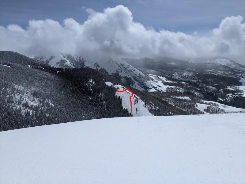
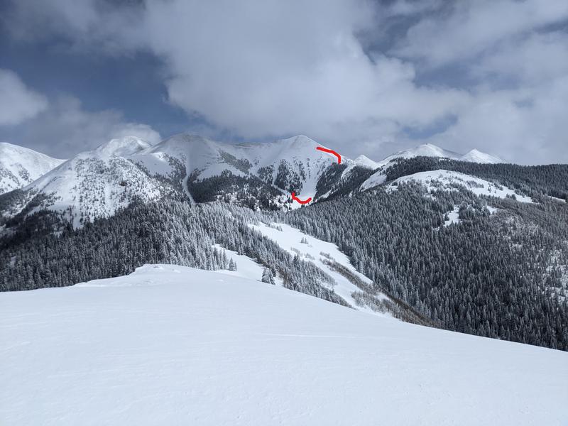
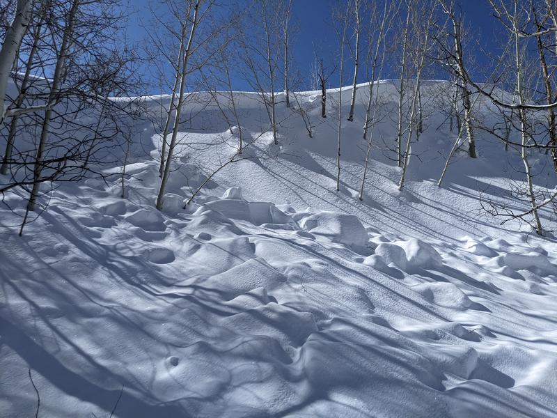
The snow we were on today felt very supportable with no collapses or signs of reactivity. However, we did come upon three different cornice/wind triggered slides on north faces that probably ran mid to late this last week. Two of them were pretty large and could have turned a day upside down. (pics below). This still makes me a bit worried about the storm slab from earlier in the week in wind loaded areas - need to see what the pits say.
Avalanche Problem #1
Problem
Cornice
Trend
Decreasing Danger
Problem #1 Comments
I haven't really called this out before, but all three slides we saw were cornice triggered.
Avalanche Problem #2
Problem
Wind Drifted Snow
Trend
Decreasing Danger
Problem #2 Comments
There are some wind slabs along timberline and I think blowing storm snow was a big part of the slides we saw
Comments
Cornice triggered slide that broke wider on the loaded storm slab. This is the ridge above Warner lake.
Slide on Pilot Peak
Small cornice break that took the storm slab along
Today's Observed Danger Rating
Considerable
Tomorrows Estimated Danger Rating
Considerable