Observation Date
2/26/2023
Observer Name
Kelly
Region
Salt Lake » Big Cottonwood Canyon » Rocky Point
Location Name or Route
Rocky Point
Comments
Propagation at 14 and 16 taps on an extended column test 2' down from the surface. The propagation occurred on a layer of fist hard decomposing stellars. If we didn't have a storm lined up for next week to add more weight to this weak layer then I would say that it would settle out shortly. This layer is spotty and worth looking for prior to committing to steep slopes especially as we add more snow and wind.
Video
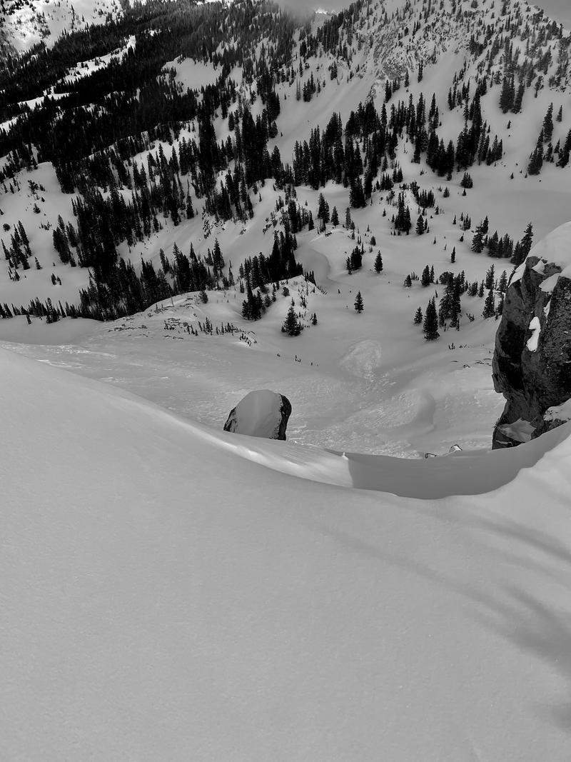
Photo of debris on an east facing slope at 10,500' off Mt. Tuscarora from a few days ago.
Today's Observed Danger Rating
Moderate
Tomorrows Estimated Danger Rating
Considerable
Coordinates


