Observation Date
2/25/2023
Observer Name
Ted Scroggin
Region
Uintas » Whitney Basin-Double Hill
Location Name or Route
Whitney Basin
Weather
Sky
Broken
Wind Direction
Southeast
Wind Speed
Moderate
Weather Comments
Can't get a break from the winds the last couple days, both southwest and southeast winds have been steadily blowing and turning the fresh snow into a textured and slabby landscape-too bad!! There was some periods of sunshine today, but the clouds starting to develop as the afternoon went on. The temperatures were on the mild side with some melting and crusty snow in the lower elevations.
Snow Characteristics
New Snow Depth
16"
New Snow Density
Medium
Snow Surface Conditions
Powder
Wind Crust
Damp
Snow Characteristics Comments
It was a nice shot of snow for the area with around a foot at the trailhead and upwards of 16-18" above 9,500'. Unfortunatley, the winds have blown the fresh snow into some stiff and slabby conditions and it was hard to find sheltered places where the snow was not wind affected.
Red Flags
Red Flags
Wind Loading
Cracking
Red Flags Comments
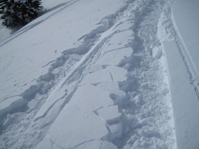
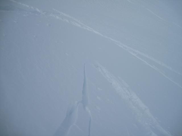
The winds are the big red flag with steady blowing snow the last couple two to three days creating somewhat sensitive wind slabs on the north side of the compass. I was finding these fresh wind slabs cracking about a foot deep and would imagine there are a few slopes where things are a little connected making for a wider avalanche.
Avalanche Problem #1
Problem
Wind Drifted Snow
Trend
Same
Problem #1 Comments
There was a slight decrese in the wind speeds this afternoon which should help settle out some of the reactive wind slabs, but looks like more active weather through the weekend.
Comments
The snow conditions today were a bit hit or miss with the recent snow getting worked over by winds the last couple days creating some slabby and variable riding and turning.
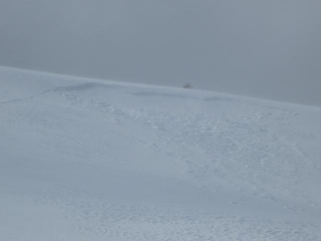
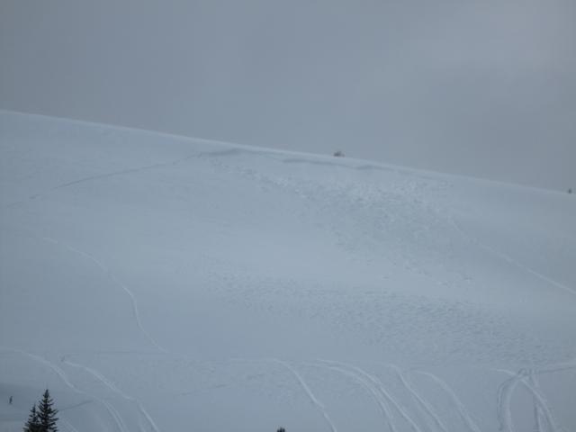
Noticed this rider triggered slide off the top of Double Hill where gusty south winds drifted onto this east facing slope. Looks like maybe a foot and a half to two feet deep, but not too wide or connected.
Today's Observed Danger Rating
Considerable
Tomorrows Estimated Danger Rating
Considerable
Coordinates


