Travel from Gobbler's through Olympus along the ridge. A spectrum of surfaces has set up with this high pressure, solar aspects really taking on heat today while northerlies stayed cool. Cold, clear nights can continue to weaken surface snow as Wednesday's few inches lies on top of hard surfaces on all aspects (faceting gradient on top of crusts). This will be the interface layer-of-concern for the 14th storm.
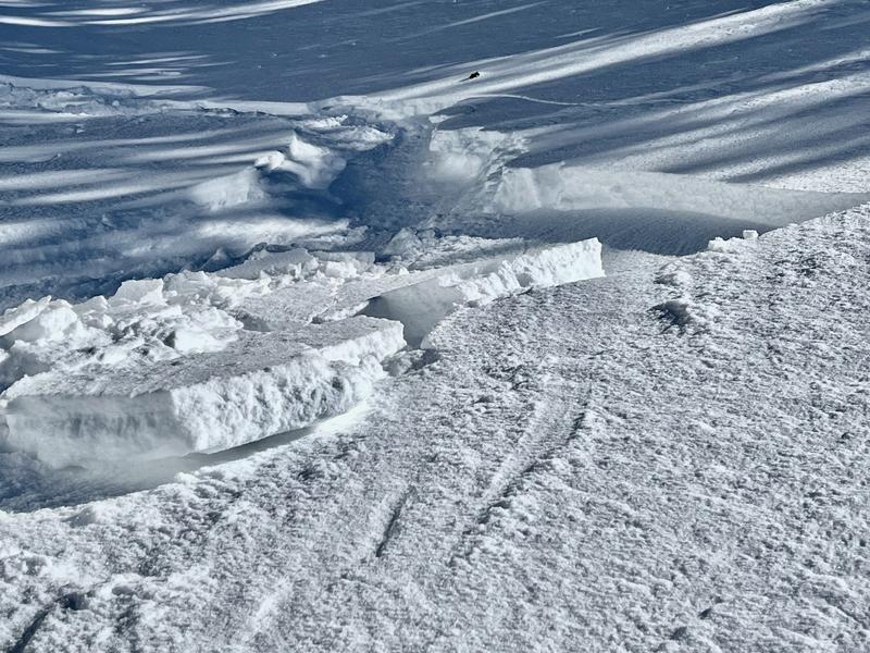
The last days' winds have left textured some areas of Millcreek/BCC but along the Wildcat Ridge the only slabs with any potential lay in wind-fetches just under the ridge. I only saw one wind slab fracture today (Pic 1), the size of a twin mattress and stubborn to release with skis. Winds were from the SW today and only noticeable gusting along the ridge.
The hazard today was direct sun on solars and skiers triggering shallow wet slabs that ran on the pre-Wed. crust. I believe this will subside with cloud coverage through the next few days.
Photos:
1- Small, stubborn wind-slab popped out with skis on NW face ~9400'. No hazard.
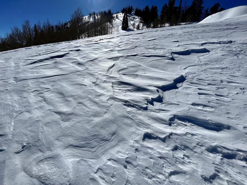
2- Sastrugi along exposed aspects near ridgelines.
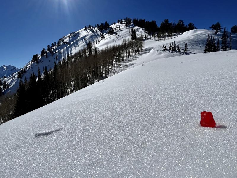
3- Weakened surface snow on top of crusts will be the next issue. Small-grained and preserved in specific areas but important.


