Observation Date
2/7/2023
Observer Name
John Lemnotis
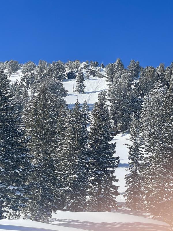
Region
Salt Lake » Little Cottonwood Canyon » Cottonwood Ridgeline
Location Name or Route
Upper LCC/Days Fork
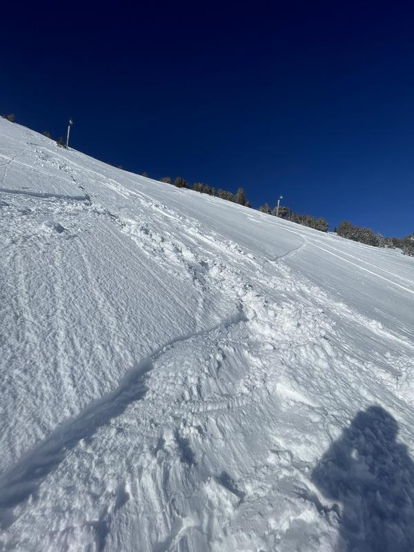
Today's Observed Danger Rating
None
Tomorrows Estimated Danger Rating
None
Coordinates