Observation: Scotts Peak

Observation Date
2/3/2023
Observer Name
Hardesty
Region
Salt Lake » Park City Ridgeline » Scotts Peak
Location Name or Route
Scotts Peak
Weather
Sky
Clear
Wind Direction
Southwest
Wind Speed
Moderate
Weather Comments
Warm with light to moderate winds.
Snow Characteristics
Snow Surface Conditions
Faceted Loose
Melt-Freeze Crust
Damp
Red Flags
Red Flags
Recent Avalanches
Red Flags Comments
Winds and warmth/sun did not seem to get out of hand for any excessive wind loading or wet avalanching.
Avalanche Problem #1
Problem
Persistent Weak Layer
Trend
Decreasing Danger
Problem #1 Comments
Only a quick outing today.
Profile on SSE slope at 9650'. ECTN 27,29 on facets above last week's crust. No cracking or collapsing noted.
Comments
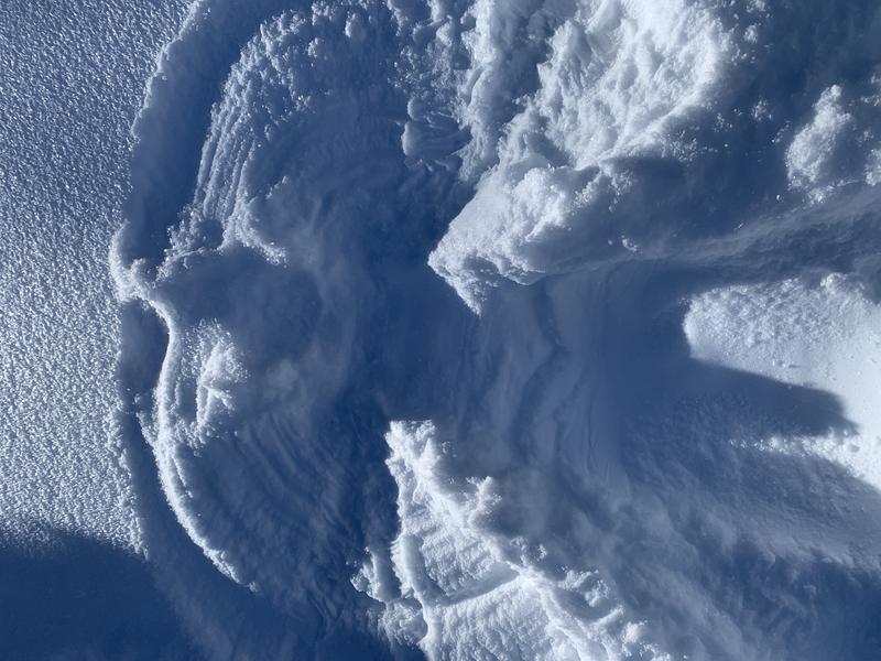
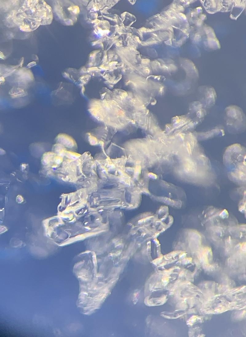
Idle weather does the devil's work. Note surface hoar crystals adorning the snow angel.
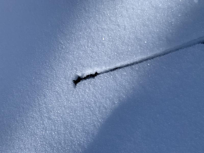
More RR crust on southerlies noted today. Photo of facets below.
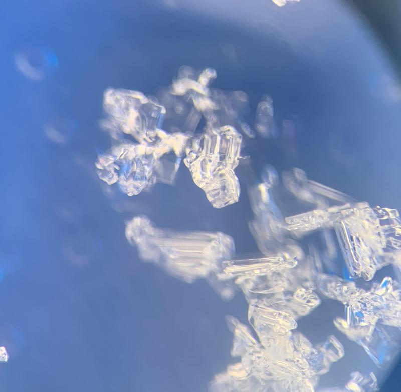
Diurnally recrystallized facets noted on northerlies but seemed only 'moderately' weak.
I expect warmth and wind to destroy and/or decay many of these surface weaknesses ahead of the next storm.
Today's Observed Danger Rating
Low
Tomorrows Estimated Danger Rating
None
Coordinates