Observation Date
1/30/2023
Observer Name
Staples & Deutschlander
Region
Uintas » Smith-Moorehouse
Location Name or Route
Smith & Morehouse area
Comments
We looked at the upper 2-3 feet of snow on North, West, and South aspects. Mostly above 9400 feet. There was a notable avalanche in the Uintas on a northwest facing slope at 8400 feet 2 days ago. We were looking for a similar weak layer. We could find some evidence that it may exists but couldn't find any signs that it would produce an avalanche.
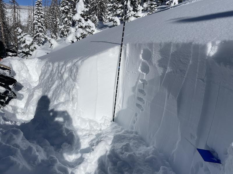
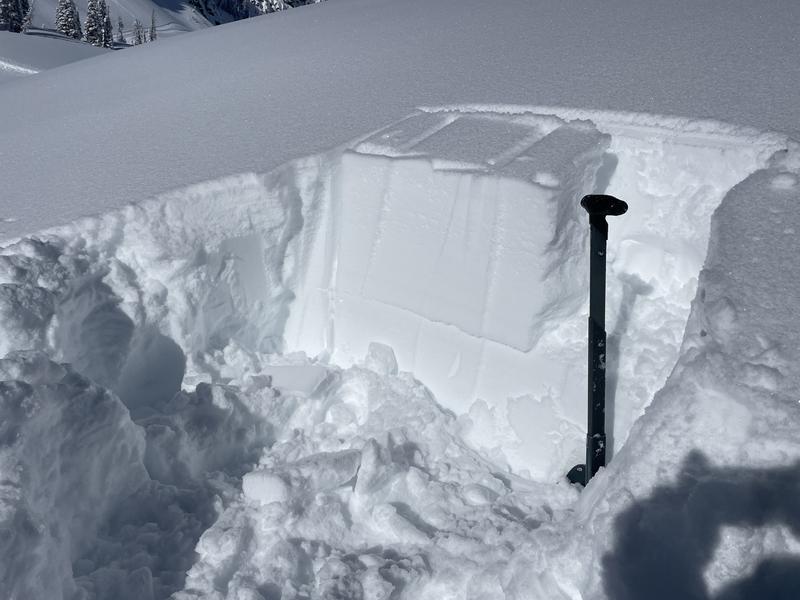
General snow profile was about a foot of Fist-hardness snow, then another foot of 4-Fingers hardness snow, then 1-finger hardness below that. Snowpack is over 2 meters deep. Great powder, great traction, great riding. On sun exposed slopes, there is a crust 12-18 inches deep (and now maybe a crust on top). There are some facets above and below it (mostly below it) but there were not reactive in ANY snowpack test we performed. Perhaps with a load of wind drifted snow, they could make an avalanche. In about half of the locations where we dug, we could pry the back of a column with our shovels (after doing the full 30 taps) and get this layer to break - This just told us it was there.
The only avalanches we found were just loose snow sluffing off rocks and entraining snow snow below.
Photo 1 - general right side up layering on north aspects
Photo 2 - finding a weak but not necessarily unstable layer by prying on the back of the column. It would not break and propagate when doing the normal taps
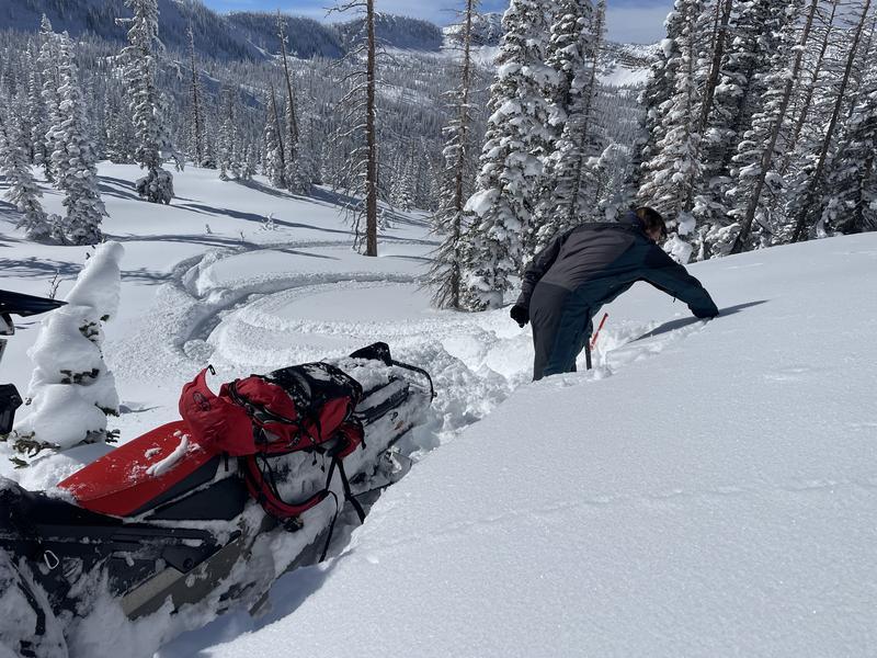
Photo 3 - digging on a west facing slope at about 9800 ft
Photo 4 - loose snow sluffs
Photo 5 - great powder riding


We stayed in soft powder. In fact there really wasn't much wind affected snow where we were riding except just at the tops of ridge lines. Even then, winds have generally been light in this area. The danger rating we saw today was low because we were not on any slopes with wind drifted or wind loaded snow.
Today's Observed Danger Rating
Low
Tomorrows Estimated Danger Rating
Low
Coordinates


