Observation: Broads Fork/Mill B

Observation Date
1/21/2023
Observer Name
Kelly
Region
Salt Lake » Big Cottonwood Canyon » Broads Fork/Mill B
Location Name or Route
Broads Fork
Weather
Sky
Few
Wind Direction
Northwest
Wind Speed
Light
Weather Comments
Cold temperatures to start the day with clouds in/out. Cloud deck hovered around 7000' in Big Cottonwood Canyon for the afternoon hours. North-northwest Winds were much stronger on the ridge-tops at higher elevations.
Snow Characteristics
Snow Surface Conditions
Powder
Snow Characteristics Comments
Radiation recrystallization crust with .5mm NSF on any slope taking solar energy.
Settlement cones noted at the bases of trees.
Red Flags
Red Flags
Wind Loading
Avalanche Problem #1
Problem
Wind Drifted Snow
Trend
Same
Problem #1 Comments
I was suspect of wind drifted snow on the leeward aspects and quick hand pits showed that there was softer snow underneath the wind drifted snow. I avoided traveling directly on wind drifted terrain on slopes steeper than 35 degrees with any sort of hazard underneath. It wasn't about if it would slide, but what the consequences would be if it took me over a cliff band or through a stand of trees.
Avalanche Problem #2
Problem
New Snow
Problem #2 Comments
Dry loose avalanches on steep terrain. Isolated to the new snow. Some natural and some intentionally skier triggered.
Snow Profile
Aspect
Northwest
Elevation
9,800'
Slope Angle
28°
Comments
I observed new snow avalanches from the avalanche cycle that occurred on/around January 10/11th north-east facing slopes.
Photo below of east facing slope that avalanched during the storm above Lake Lillian.
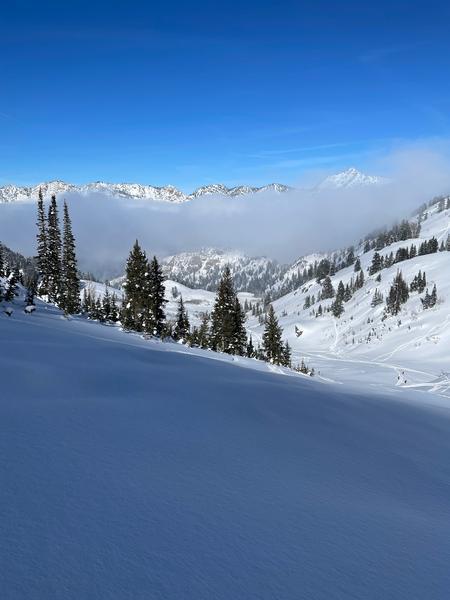
Cloud deck later in the afternoon.
Today's Observed Danger Rating
Moderate
Tomorrows Estimated Danger Rating
None
Coordinates