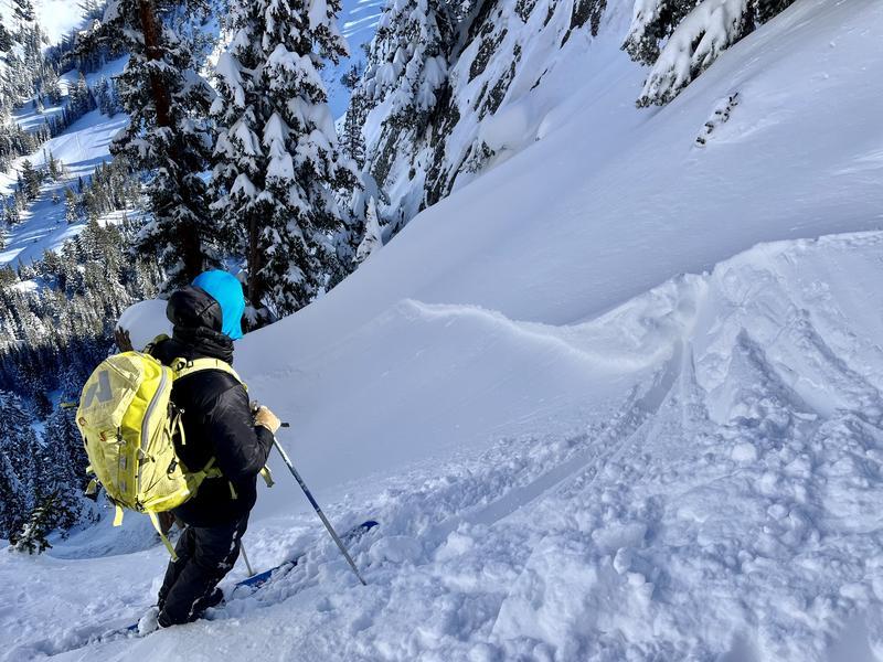
The avalanche concerns are (thankfully) limited to windslab isolated to the top 100' of ridges and cornices associated with the past atmospheric river (AR) and wind events. These windslabs could be found NW-E facing in Neff's today and ranged from easily-triggered to stubborn. Incorporating the last 1-2 storm layers (aspect dependent), slabs were 8"-18" and vertically small (Picture 1). In runout areas, debris from last week's natural cycle is visible in much of the complex Upper Neff's terrain.
The southerly aspects will continue to enhance their melt-freeze crusts through tomorrow and could serve as a hard bed surface for storm snow depending on what the Sunday-Monday storm produces.