Observation: Silver Fork

Observation Date
1/3/2023
Observer Name
CBrown
Region
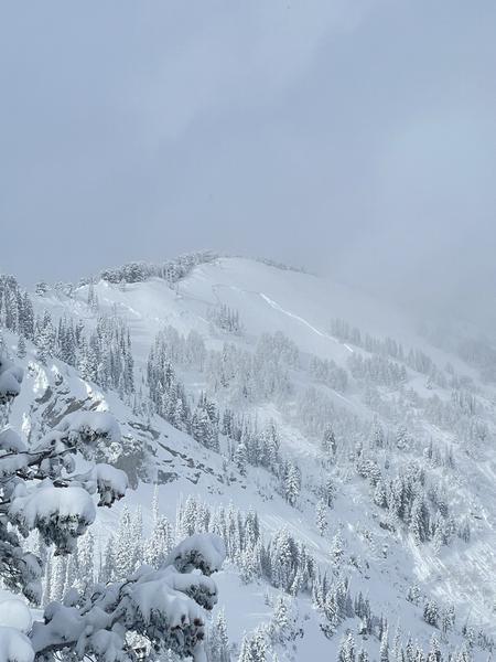
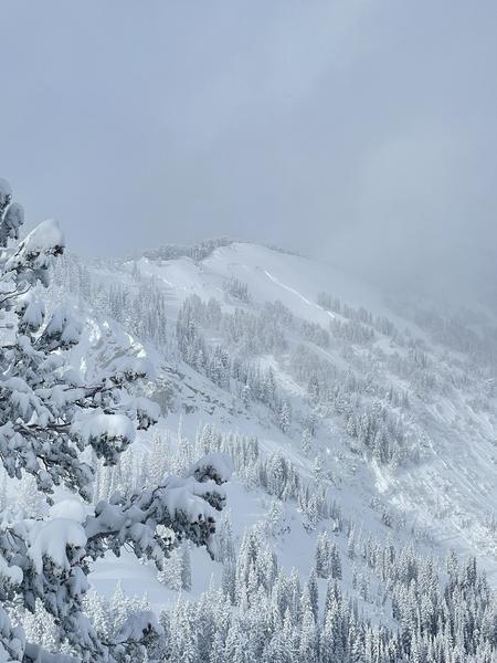
Salt Lake » Big Cottonwood Canyon » Silver Fork
Location Name or Route
Upper Silver Fork
Weather
Sky
Obscured
Precipitation
Light Snowfall
Wind Direction
Northwest
Wind Speed
Light
Weather Comments
S-1 in the afternoon, a few breif clearings, otherwise obscured skies with times of very poor visibility. Light winds on the LCC/BCC ridgelines.
Snow Characteristics
Snow Surface Conditions
Powder
Snow Characteristics Comments
Having been out of the state during the two big holiday storm cycles I had trouble telling exactly how much new snow there was.
Red Flags
Red Flags
Recent Avalanches
Heavy Snowfall
Red Flags Comments
I saw evidence of mid-storm cycle, dry loose, storm/wind slabs. Other than the recently fresh Silver Fork meadows area avalanche, none of the slabs seemed to be very deep or well connected, given the amount of snow in the last week (visibility did limit the views much of the day). Many or all of the slab activity seemed to be in the storm snow (last 6 days). The silver fork meadows avalanche looked wide but estimated at 2-4' (from decent visibility moment atop Davenport), it did not appear to step down into old snow/NFL (interested to see if this will be confirmed or not in the coming days). Moderate visibility allowed a look into upper Days fork, I could not see any large notable avalanches or debris piles (again, not the best of visibility).
Avalanche Problem #1
Problem
New Snow
Problem #1 Comments
Storm slab and dry loose. Did not trigger or observe any fresh storm slabs (other than the meadows avalanche). DL seemed to react on slopes >35*.
Avalanche Problem #2
Problem
Persistent Weak Layer
Trend
Decreasing Danger
Problem #2 Comments
When we get some visibility interested to see if there has been any large PWL avalanches on the NFL layer. In much of the central Wasatch this layer is now fairly deep and the FC have been in a healing regimen for about a month now. I am still suspicious of outlier areas, including but not limited to PC Ridge, Millcreek, Mineral and other areas where the snowpack was/is shallower, the NFL layer had larger grains and was thicker/more developed.
Comments
Probing all along the west bowl skin track in upper silver fork I was seeing depths from 180-300cm, with an average depth of about ~210cm.
Another few pictures of the Silver Fork Meadows Avalanche from a different angle
Today's Observed Danger Rating
None
Tomorrows Estimated Danger Rating
None
Coordinates