
Observation Date
1/1/2023
Observer Name
Brackelsberg
Region
Salt Lake » Park City Ridgeline » Murdock Peak
Location Name or Route
Park City Ridgeline: Murdock Peak
Comments
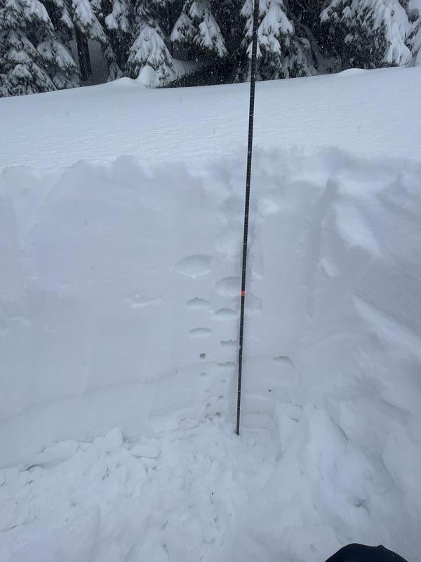
201cm of total snow for Murdock Peak is a big snow pack. Looking back at all of my Murdock Peak snow profiles since 2010, I did not find another one over 185cm.
The main weak layer we found was the dirt layer from the strong southwest winds in December.
We were unable to get any extended column test results. We did get a compression test (CT9) on a very small layer of graupel from early in the storm.
Slope cut results were in agreement with our pit results. We were able to only get new snow avalanches with our slope cuts. See this avalanche submission.
Today's Observed Danger Rating
Considerable
Tomorrows Estimated Danger Rating
High
Coordinates


