Sign Up for the Utah Snow and Avalanche Workshop (USAW) on December 7th!

Observation: Moab

Observation Date
12/31/2022
Observer Name
Maggie Nielsen & Becky Peterson
Region
Moab
Location Name or Route
Roadside enroute to Gold Basin
Weather
Sky
Obscured
Precipitation
Light Snowfall
Wind Direction
Southwest
Wind Speed
Moderate
Weather Comments
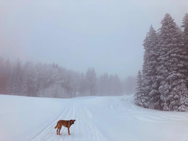
At 9,500', we entered the cloud layer that obscured the top of the mountains today. This layer lifted briefly to about 10,000' and then quickly sank again back to 9,500' by 4pm. Winds were variable in both intensity and direction throughout our tour. At 2pm, intermittent gusts of about 10-15mph blew from the East and North. By 3pm, the winds shifted and came in from the West and South with a bit more intensity but still with intermittent gusts that rocked the tree tops. Temperatures were fairly warm at ~ 30 degrees near the Winter TH. Small graupel (< 1cm/hr) began to fall as we were departing and quickly turned to a mix of needles and flakes (~1cm/hr) with increasing intensity as well. Appeared to be moderately dense but hard to say as the flurries had just begun.
Snow Characteristics
Snow Surface Conditions
Rain-Rime Crust
Snow Characteristics Comments
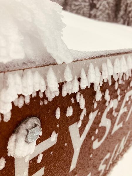
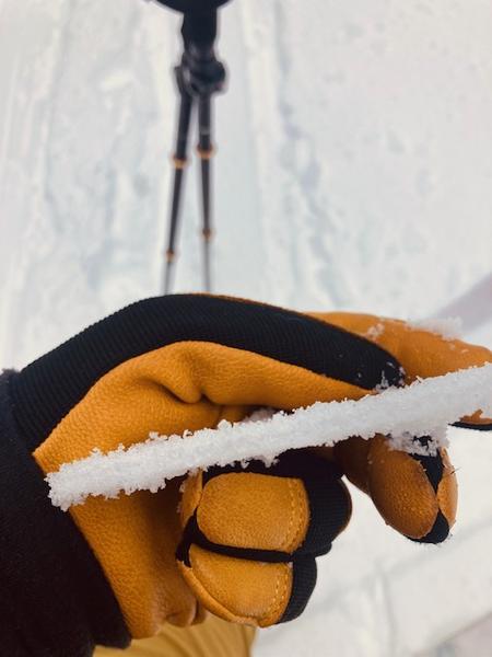
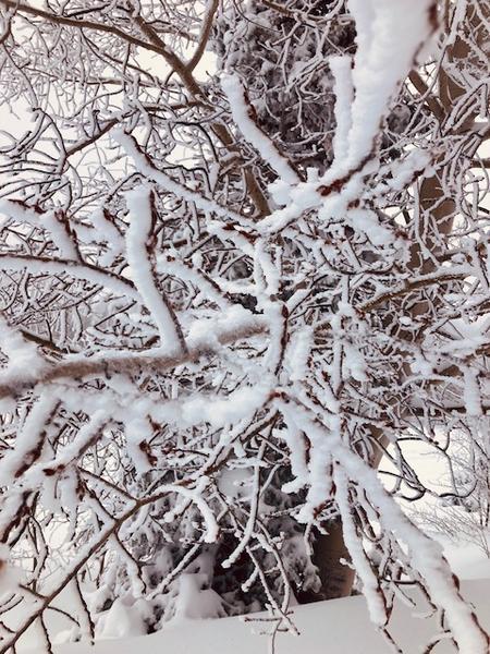
An unsupportable crust of 2-4mm thick was apparent on top the snowpack. Rime ice was evident on trees and signs during our travels and that leads me to believe the crust was the result of supercooled, suspended, water droplets freezing as it contacted the snow surface. The further up we traveled, it seemed the crust was a little more supportable but also a bit more reactive. I am interested to see what happens with a new load on top of this thin crust. Otherwise, we have a good amount of snow out there and in some areas, I could sink my entire ski pole into the snow! Lots of snow combined with a poor snowpack structure is keeping me ultra-conservative in my backcountry objectives. Patience is the name of the game in the La Sals.
Red Flags
Red Flags
Poor Snowpack Structure
Red Flags Comments
It's still early in the season and we are looking at a complicated snowpack structure so far. We've got facets down low with more cohesive snow layers on top. Now we mix in the recent, dense snow with high SWE, crusts, and who knows what the next storm will stack on top. It's interesting from a snow science perspective but scary from a riding perspective.
Avalanche Problem #1
Problem
Persistent Weak Layer
Trend
Increasing Danger
Problem #1 Comments
It's still lurking.
Comments
The road is very slick and snowpacked once you hit the Geyser/Loop Road Jct. Please drive slowly.
Today's Observed Danger Rating
Considerable
Tomorrows Estimated Danger Rating
High
Coordinates