Observation Date
12/27/2022
Observer Name
Richie Schumacher
Region
Logan » Beaver Mountain Backcountry
Location Name or Route
Beaver Mountain Area
Weather
Sky
Overcast
Precipitation
Moderate Snowfall
Wind Direction
Southwest
Wind Speed
Light
Weather Comments
Warm and wet day today. Started to snow around 0730 this morning. Snow /rain elevation band seemed to be just below the Beaver mtn base area today. The few inches of snow that fell was wet and blowing. Upper elevations had low visibility and winds light gusting to moderate out of the W/SW. Had many variations of snow types from large flakes and wet, to small flakes and hard to graupel, and even some borderline rain for short period at the base area.
Snow Characteristics
New Snow Depth
3"
New Snow Density
Medium
Snow Surface Conditions
Powder
Snow Characteristics Comments
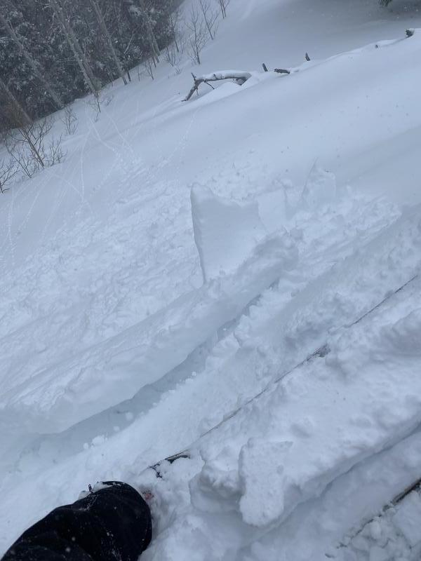
mostly wet snow today. 1-2mm graupel fell for a short period around 1100 this morning. snow surface was new, wet snow with small and soft, but reactive, wind drifting noted.
Red Flags
Red Flags
Heavy Snowfall
Wind Loading
Cracking
Rapid Warming
Poor Snowpack Structure
Red Flags Comments
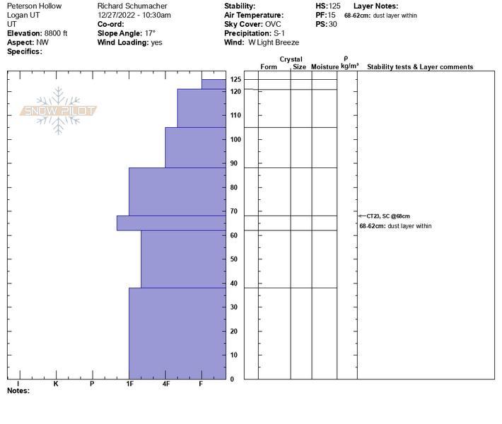
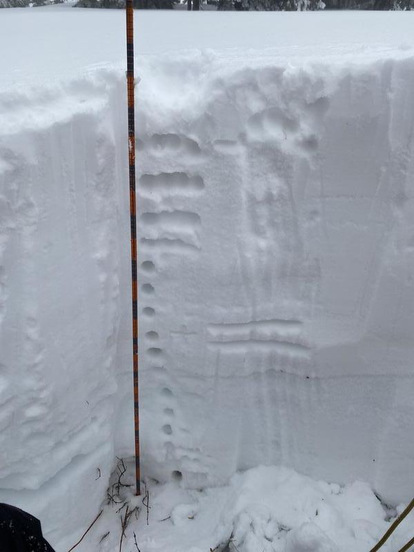
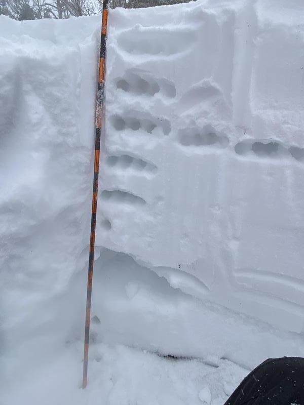
No facet layer found in NW pit at 8800'. Facet layer found in the SE pit at 8700' was moist and variable. I was able to make a snowball with this layer in the pit, but had some more sugary facets just a few feet away. Soft but increasing wind loading noted on ridgelines and below. Some small cornice and wind drift formation noted that was reactive, but not very well connected, yet.
Snow Profile
Aspect
Southwest
Elevation
8,700'
Slope Angle
15°
Two snow pits dug today. The first in peterson hollow at 8800' on NNW slope showed nice structure and deep snowpack. The second was in the Beaver backside on a ESE slope at 8700' and showed signs of the facet layer healing and moist, but still present. Picture 1= Perterson hollow profile, Picture 2= Beaver backside profile, picture 3= wind drifting/ cornice formation.
Today's Observed Danger Rating
Considerable
Tomorrows Estimated Danger Rating
High


