Sign Up for the Utah Snow and Avalanche Workshop (USAW) on December 7th!

Observation: Snowbird periphery

Observation Date
12/27/2022
Observer Name
W Ambler
Region
Salt Lake » Little Cottonwood Canyon » Snowbird periphery
Location Name or Route
Snowbird
Weather
Sky
Overcast
Precipitation
Moderate Snowfall
Wind Direction
Southwest
Wind Speed
Moderate
Weather Comments
Slightly underwhelming precipitation with only 3 to 4 inches of accumulated high density snow. Especially wet at mid to lower elevations. Moderate to heavy winds had blown drifts up to about a foot deep in select locations. Other areas were scoured at upper elevations on the Windward slopes. Despite the lower snow totals the riding quality was significantly improved and I have high hopes for tomorrow.
Snow Characteristics
New Snow Depth
4"
New Snow Density
Medium
Snow Surface Conditions
Dense Loose
Wind Crust
Melt-Freeze Crust
Damp
Snow Characteristics Comments
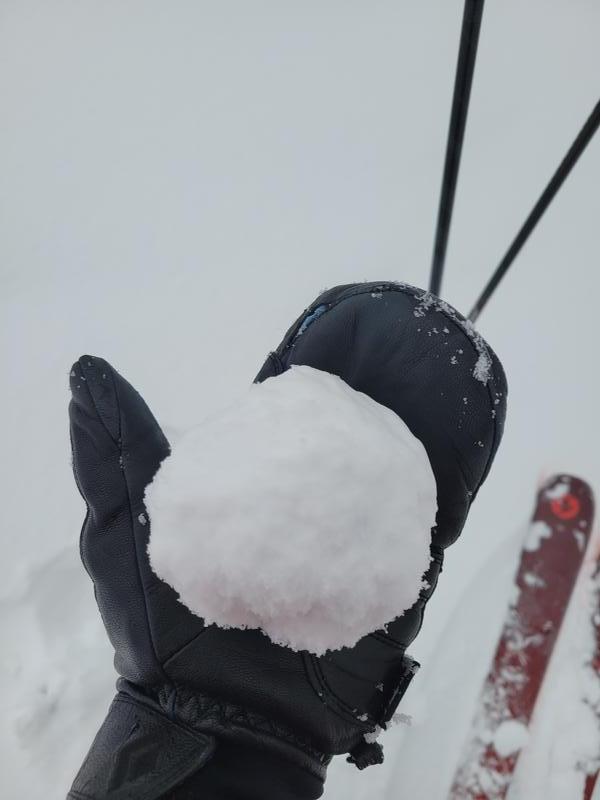
New Snow was fairly heavy but rode well above 8400' ish. Snow quality and presence was variable depending on exposure to the wind and elevation. Sheltered upper elevation terrain was where I had the most fun today.
Red Flags
Red Flags
Wind Loading
Poor Snowpack Structure
Red Flags Comments
It doesn't seem like there's much immediate increase in danger as of this evening (27th) aside from a few isolated wind slabs but I expect tomorrow morning will be a different story.
Comments
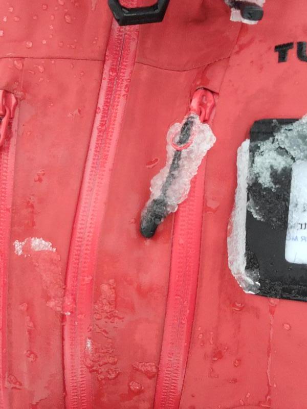
Pictured below is some of the wet new snow. Prime snowball conditions and a saturated jacket.
Today's Observed Danger Rating
Moderate
Tomorrows Estimated Danger Rating
Considerable
Coordinates