Observation Date
12/24/2022
Observer Name
Torrey
Region
Uintas
Location Name or Route
Upper Weber Canyon
Weather
Sky
Overcast
Precipitation
Light Snowfall
Wind Direction
Southwest
Wind Speed
Calm
Weather Comments
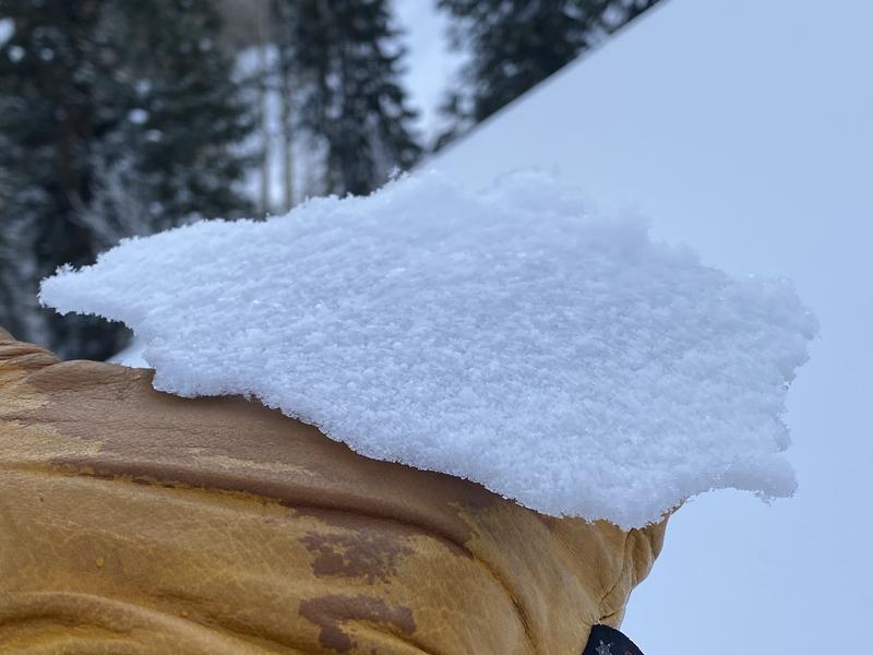
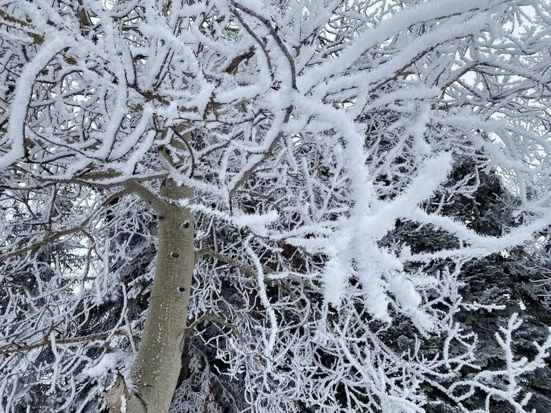
Generally warm temperatures. Light snowfall and wind in the early AM. Riming occurred later in the morning and left a thin breakable rime crust on the surface (see photo)
Snow Characteristics
New Snow Depth
1"
New Snow Density
Medium
Snow Surface Conditions
Dense Loose
Rain-Rime Crust
Snow Characteristics Comments
Variable surface conditions and railroad skiing conditions.
Red Flags
Red Flags
Collapsing
Poor Snowpack Structure
Red Flags Comments
Experienced a localized collapse on an east aspect of about 8800' in a sheltered area.
Avalanche Problem #1
Problem
Persistent Weak Layer
Trend
Same
Problem #1 Comments
The strong wind event created variable snow depths across the terrain. Some slopes are stripped of snow nearly to the ground while others are loaded with a thick (4-feet or more) hard, dense layer of snow with a thin layer of faceted snow buried below. The mid elevations have a more consistent snowpack layering with a relatively thin 1-finger hard slab or softer above the same faceted layer from mid-November. The wind event did not have as drastic of an influence on the mid-elevations slopes but recent avalanche activity is still notable.
Comments
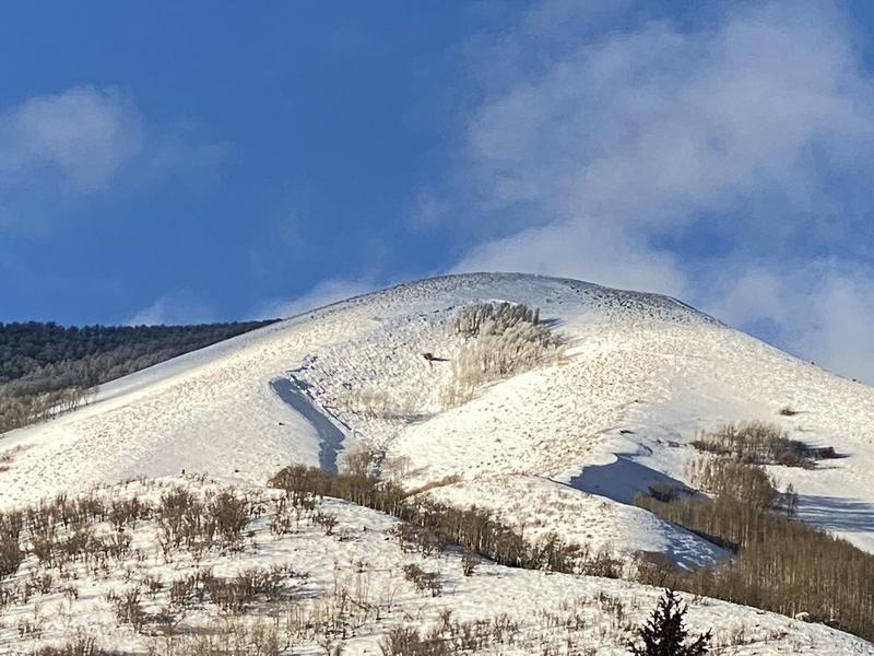
Noticed the avalanche below on 12/22 on a southeast-facing slope roughly 8500'. Best guess is natural that occurred during the strong wind event on the solstice.
Today's Observed Danger Rating
Moderate
Tomorrows Estimated Danger Rating
None
Coordinates