Observation Date
12/21/2022
Observer Name
Chasen Fairfield
Region
Salt Lake » Little Cottonwood Canyon » White Pine » Rainbow Peak
Location Name or Route
Rainbow Peak
Weather
Sky
Overcast
Wind Direction
West
Wind Speed
Strong
Weather Comments
Winds increased from 0900-1200 and were transporting snow onto N-NE-E facing slopes.
Snow Characteristics
Snow Surface Conditions
Powder
Faceted Loose
Wind Crust
Red Flags
Red Flags
Wind Loading
Cracking
Poor Snowpack Structure
Red Flags Comments
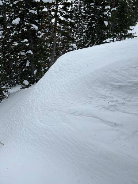
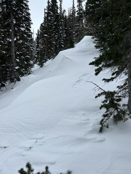
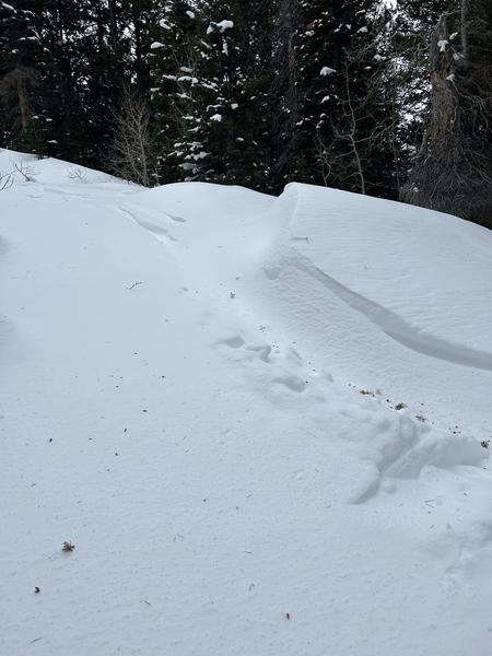
High winds from the W-SW this morning and easy cracking in wind loaded areas. There are also persistent weak layers buried between 1-3'. I was up near Rainbow Peak between 0900 and 1200 and winds were consistent throughout the entire tour. New snow and wind loading will only increase the danger of cracking on the surface stepping down to a persistent weak layer.
Avalanche Problem #1
Problem
Wind Drifted Snow
Trend
Increasing Danger
Problem #1 Comments
High winds were whipping snow around near both Rainbow Peak/Pink Pine ridge, and in more sheltered areas. There was no new snow falling this morning, however new snow has begun to fall this evening and will create more opportunities for wind drifted snow. Wind drifted snow is primarily in NE and E facing slopes, with some SE facing slopes. Wind drifted snow is a red flag as well as the potential for wind drifts to step down to persistent weak layers. Wind drifts were present at mid and upper elevations.
Avalanche Problem #2
Problem
Persistent Weak Layer
Trend
Increasing Danger
Problem #2 Comments
On NW-NE-E facing slopes there is a persistent weak layer near Rainbow Peak. It is between 1-3' deep and contains weak faceted snow. Danger will increase with new snow as well as wind drifted snow. As of this morning I did not get any wind drifted snow to step down to the persistent weak layer, however I did not spend my entire day trying to do so. It is important to be conscious of this, especially with high winds and new snow.
Comments
High winds and a persistent weak layer already inserted in the snowpack call for extra caution throughout the rest of the week and into the weekend. There is potential for extremely large avalanches with this combination.
Today's Observed Danger Rating
Considerable
Tomorrows Estimated Danger Rating
Considerable
Coordinates