Fall Auction is now live! Check it out now

Observation: Mt Aire

Observation Date
12/9/2022
Observer Name
Hardesty and Wilson
Region
Salt Lake » Parleys Canyon » Mt Aire
Location Name or Route
Mt Aire
Weather
Sky
Overcast
Precipitation
Light Snowfall
Wind Direction
Southwest
Wind Speed
Light
Weather Comments
Light snowfall beginning by noon; perhaps 2cm new by 3pm. No drifting noted by SW winds.
Snow Characteristics
Snow Surface Conditions
Powder
Red Flags
Red Flags
Cracking
Collapsing
Poor Snowpack Structure
Red Flags Comments
Cracking around the skis began in earnest at 7000'...and localized collapsing began soon thereafter. POOR snowpack structure with very weak facets and occasional SH from the trailhead to the ridgeline. Generally lacking a well-connected slab in most areas.
Avalanche Problem #1
Problem
Persistent Weak Layer
Problem #1 Comments
PWL present from Lambs trailhead to the Mt Aire Ridgeline. Generally lacking a well connected slab. While c/c was noted very early on, they were very localized. We saw no natural or human triggered avalanches on our tour.
Grom score for the profile was a 1 and a 3.
I currently picture avalanches to be localized to areas with recent deposits of wind drifted snow in exposed terrain. The danger will spike very rapidly with the next storm of any wind and water weight.
Snow Profile
Aspect
North
Elevation
8,400'
Comments
Photos:
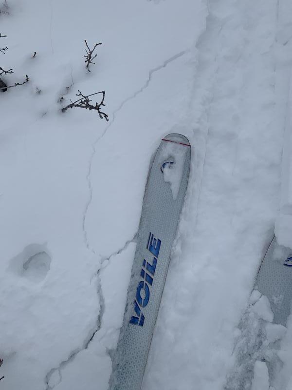
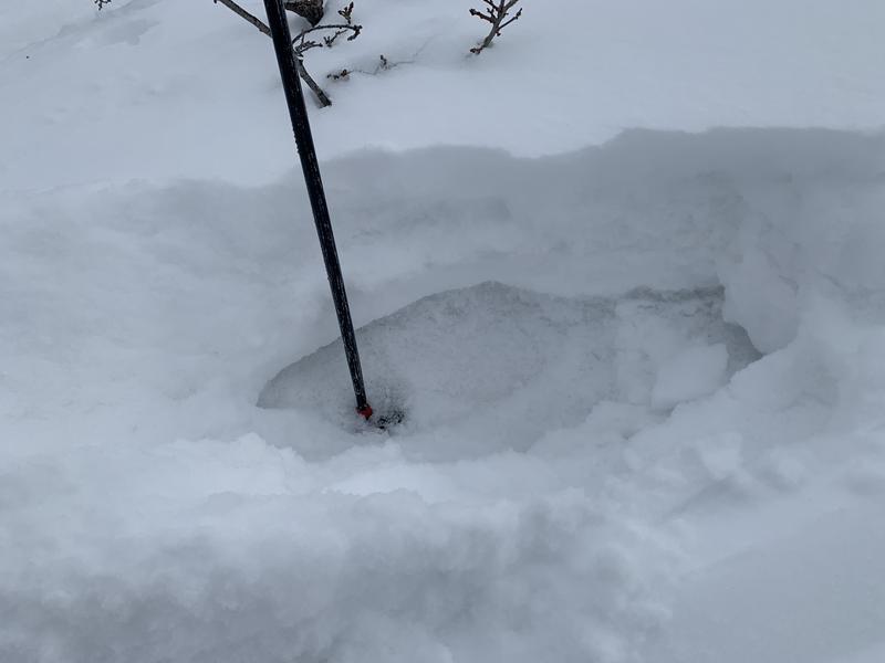
  1. localized cracking on faceted snow in the low elevations
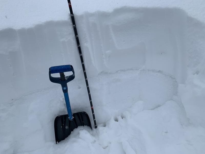
  2. A quick look at this poor structure here
  3. Photo of snow profie at 8340' north facing (see snowpilot)
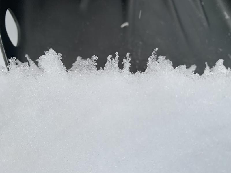
  4. Surface Hoar as very weak failure plane
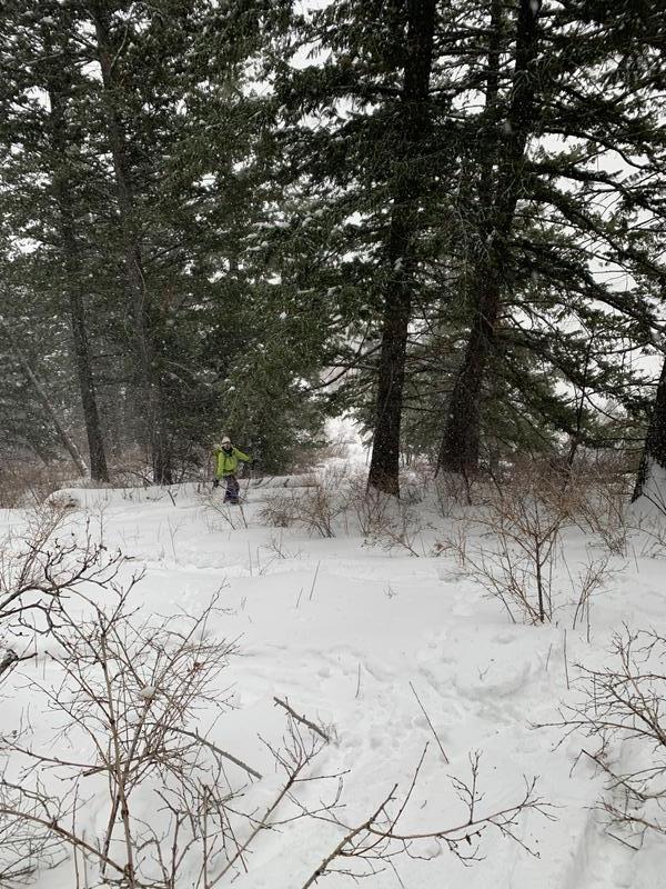
  5. Mt Aire thicketeering
Video
Today's Observed Danger Rating
Moderate
Tomorrows Estimated Danger Rating
None
Coordinates