Fall Auction is now live! Check it out now

Observation: North Ogden Divide

Observation Date
12/8/2022
Observer Name
Derek DeBruin
Region
Ogden » North Ogden Divide
Location Name or Route
North Ogden Divide, Lewis Peak
Weather
Weather Comments
Just above freezing at the trailhead (6200ft) at 2pm. Winds calm, increasing to consistent light westerly wind in step with increasing elevation. Partly cloudy skies grew increasingly cloudy, with the cloud ceiling lowering to approx 7500ft by 330pm or so. No precip this afternoon.
Snow Characteristics
New Snow Depth
2"
Snow Characteristics Comments
2" of fresh graupel on top of the old snow. Rime was present on the west facing side of pretty much everything. There was also surface hoar formation in sheltered terrain NW-N-NE. Interestingly, this surface hoar also had rime on it (photo below).
Red Flags
Red Flags
Poor Snowpack Structure
Red Flags Comments
Noted very minor cracking/collapsing of just a couple meters at my skis on wind loaded east facing terrain ca. 7400+ft, but I had to go find it. Otherwise, the general snowpack structure is ice/crust at the ground and crust-facet sandwiches to the top. Sporadic buried surface hoar in the mix. Not inspiring. At the moment, with the exception of the wind loaded easterly terrain, coverage is thin enough there just isn't a strong layer on top of all the weak stuff yet. Typical snow depth approx. 30-45cm, 60cm on the east (loaded) aspects of the ridgeline (>=7200ft), 15cm on the west (scoured) side. However, despite minimal snow, what was present on the west aspects was faceted with crust or firm wind-affected on top.
Comments
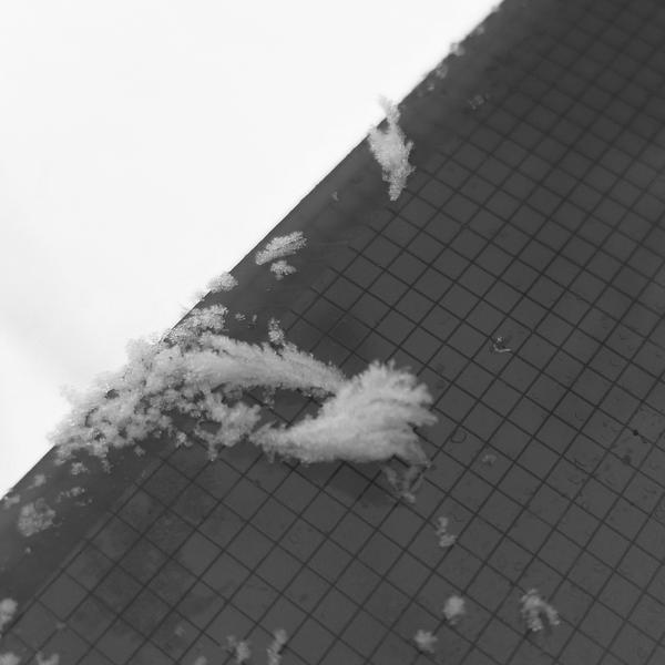
Rimed surface hoar. Neat stuff. Same feathers on the snow surface, but none of the sparkle.
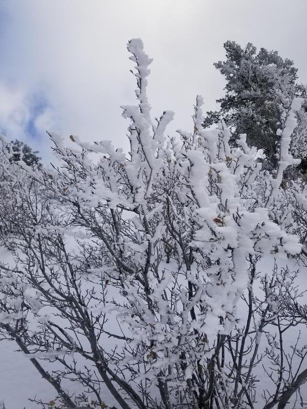
Example of rime on vegetation, generally an inch or two of growth on westerly side of most everything.
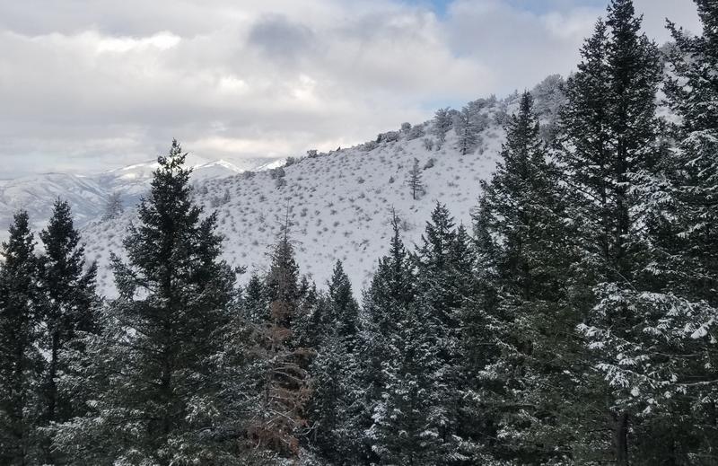
Coverage on a WNW facing slope ca. 6800ft.; probably 30cm or so.
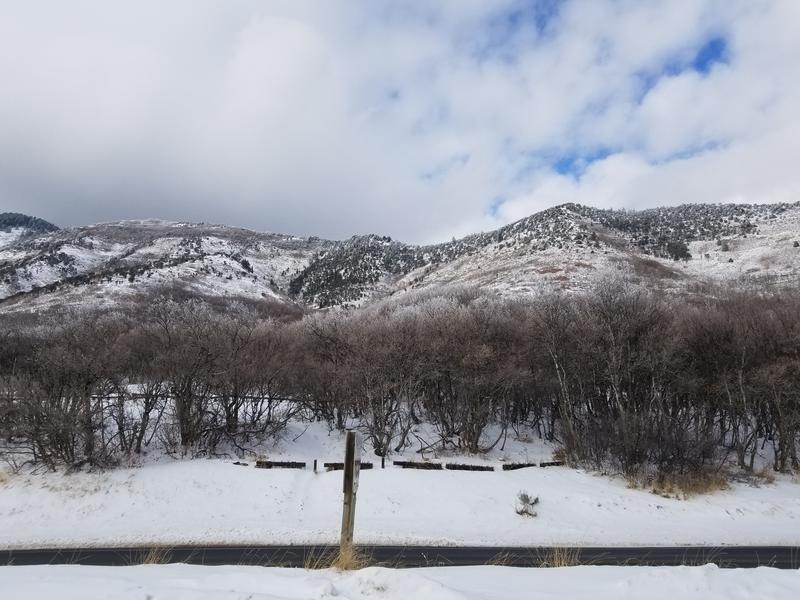
View of the north (Ben Lomond) side of the Divide. This terrain generally faces south; visible here roughly 6200-7200ft.
Today's Observed Danger Rating
None
Tomorrows Estimated Danger Rating
None
Coordinates