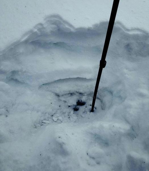
About 18" of snowpack at 7000ft. The bottom third is a stout (K) ice lens on the ground. Above this is decomposing snow/facets sandwiched between another thinner crust. Atop the crust is the old snow surface--decomposing mixed forms, near-surface facets, and in many places the large surface hoar. This was buried by 3ish inches of new snow. This generalized to our observations at elevations below.
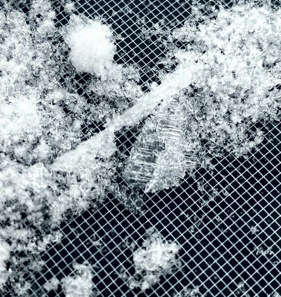
Pictured is a mediocre hand pit photo and large surface hoar pulled from just beneath the new snow.
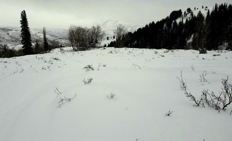
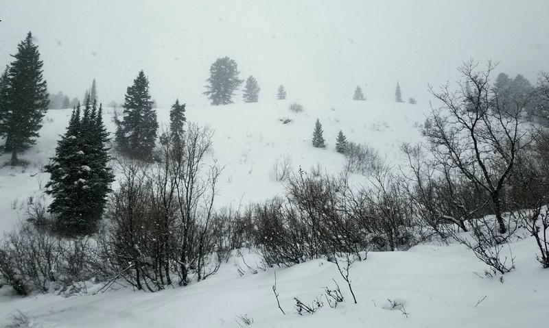
Coverage is still low tide. The new snow fell on bare road for the first several hundred yards from the trailhead. Plenty of hazards in the terrain beyond this. A few trees down across the skinner, bushes, rocks, etc. Pictured are the LZ and Indicator Hill to give an idea of coverage.