Observation Date
11/26/2022
Observer Name
Ted Scroggin
Region
Uintas » Whitney Basin
Location Name or Route
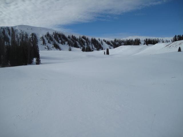
Upper Whitney Basin
Weather
Sky
Obscured
Precipitation
Light Snowfall
Wind Direction
Southwest
Wind Speed
Light
Weather Comments
Partly cloudy this morning with a couple hours of good visibility then light snow moved in with little accumulation. The winds were generally light on the ridge tops from the southwest.
Snow Characteristics
Snow Surface Conditions
Faceted Loose
Wind Crust
Snow Characteristics Comments
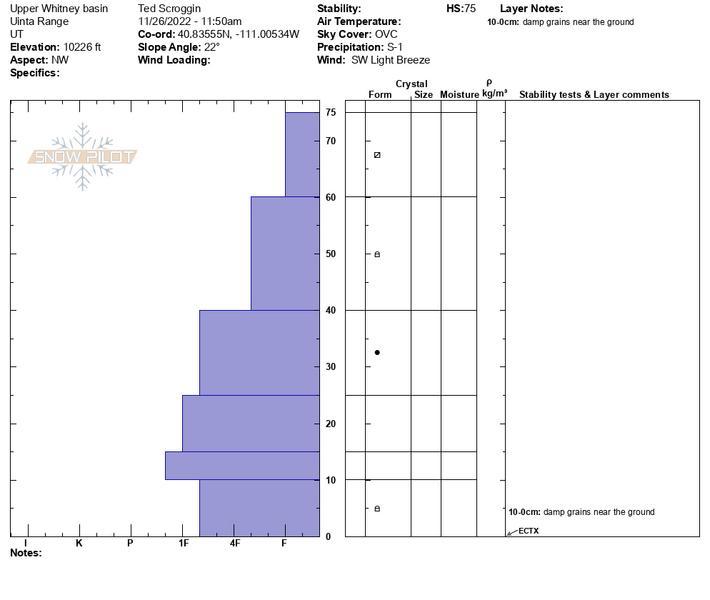
The small storm from Wednesday deposited around 2-3" in the upper Whitney area and that is resting on top of the old weak faceted snow from the long stretch of clear weather.
Red Flags
Red Flags Comments
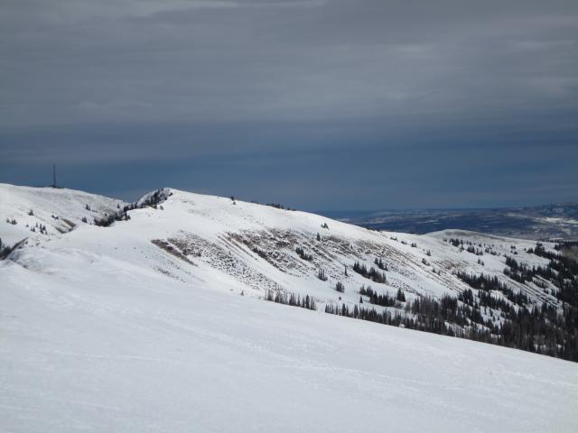
No red flags noted in my travels, there could be some very isolated wind drifts along the exposed ridge lines, but I was not finding any sensitive snow issues.
Avalanche Problem #1
Problem
Wind Drifted Snow
Trend
Same
Problem #1 Comments
The winds were light along the ridge lines and I did not observe any wind transport today. The snow pack seems pretty quiet right now until a change in weather and it looks like a storm next week.
Comments
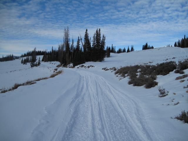
1. Generally 18-28" around the Whitney basin with enough snow for some ok riding, but not too many folks are getting real serious with the usual early season hazards still lurking under the thin snow cover.
The south facing slopes have gotten quite thin and will need some good storms to build up a decent base.
Today's Observed Danger Rating
Low
Tomorrows Estimated Danger Rating
Low
Coordinates