Observation Date
11/13/2022
Observer Name
Grainger
Region
Salt Lake » Big Cottonwood Canyon » Broads Fork
Location Name or Route
Broads Fork
Snow Characteristics
Snow Surface Conditions
Powder
Faceted Loose
Wind Crust
Snow Characteristics Comments
Travel up Broad's Fork and a look into Stairs Gulch showed various surface conditions from the last few days of cold high-pressure and wind. The temperature gradient from the last days has produced (and will likely continue to promote) surface hoar in protected areas. Faceting is occurring in the upper few inches of the snowpack on northerly aspects and with cold high pressure& relatively clear days it will continue. Recent wind has affected alpine terrain and left upper slopes/ridges with everything from spotty cross-loading to small cornices to firm wind crusts.
Although stability is great now, my concern is the weak interface we're growing before the next storm. Between weak snow near the surface and weakness under wind crusts there may be multiple options for slab failure. Until then, hopefully folks are able to have a good time skiing the loud powder.
Red Flags
Red Flags
Wind Loading
Red Flags Comments
Not currently an issue but continued wind transport could overload weak surface snow in isolated ridgetop areas
Comments
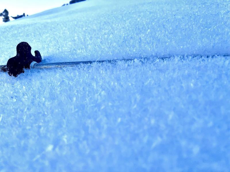
Pic 1- Surface Hoar in protected areas above 8000'
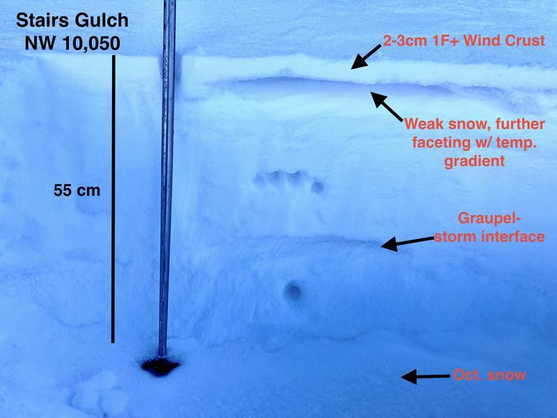
Pic 2- Top 55cm near the top of Stairs- finding evidence of solid winds & temperature gradient.
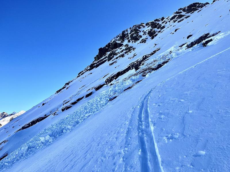
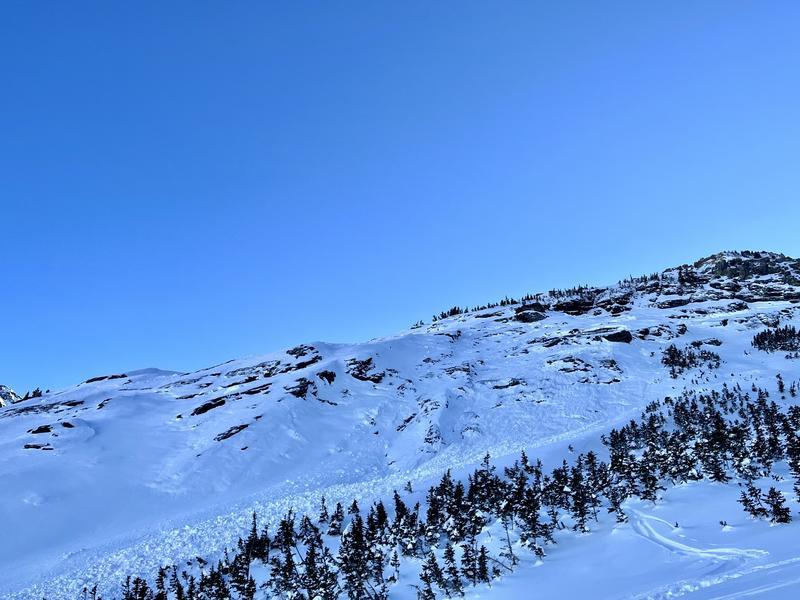
Pic 3, 4- Broads and Stairs are both peppered with full-depth and storm slab crowns in the typical glide areas. Relatively small in width but it's always interesting to see a glide avalanche before ski areas are open....
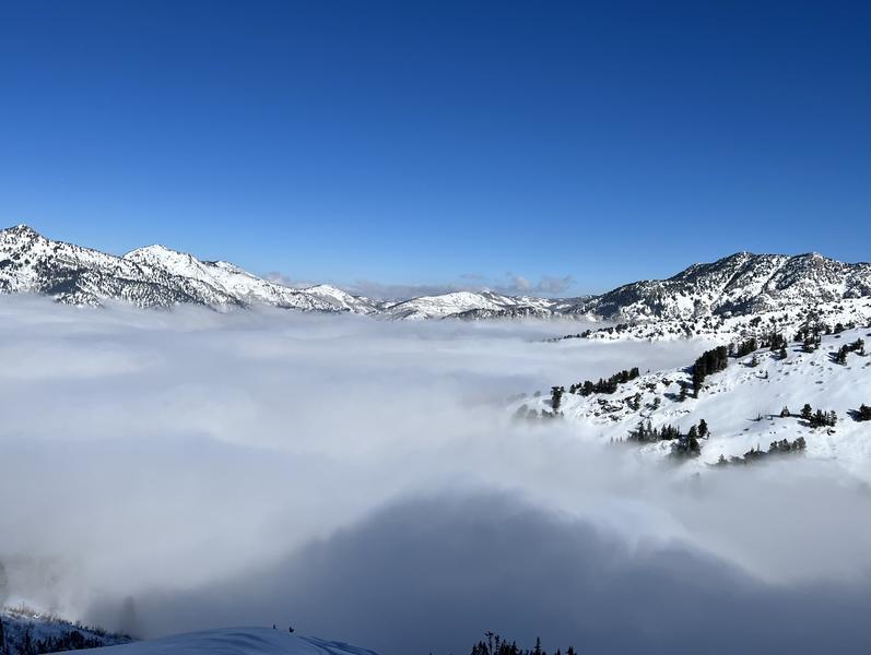
Pic 5- Valley inversions persisted throughout the day.
Today's Observed Danger Rating
Low
Tomorrows Estimated Danger Rating
Low
Coordinates