Observation Date
4/14/2022
Observer Name
Bill Nalli
Region
Salt Lake » Big Cottonwood Canyon » Cardiff Fork » LSB North
Location Name or Route
Little Superior
Comments
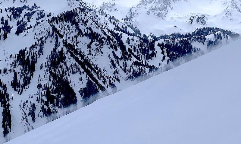
The slab on top of the lower density snow is now 30cm thick and stiffening. More dense in wind exposed locations. This set-up makes for punchy difficult trail breaking and feels hollow. While ECTX scores and hard hand shears indicate decreasing sensitivity and lower likelihood of propagation, we didn't feel comfortable getting on anything too steep keeping our slope angles at or below 37 degrees. No matter...there's plenty of good skiing in that range. WSW wind picked up around mid day and was transporting snow onto north and east aspects as seen in pic 1 of roiling snow above the surface.
HS of 330cm on north facing LSB headwall at 10,100'!
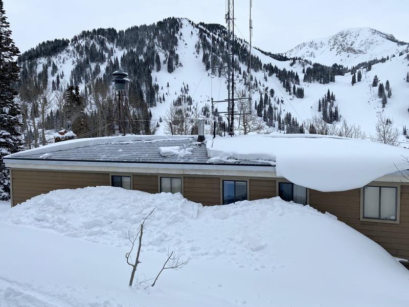
The only avalanche seen today was a roof-alanche at the Alta Marshal's office. It looked natural as no tracks were seen near. Possibly got pulled off from an overhanging curl like in the right of pic 2. While new snow instabilities are decreasing, the hazard will likely rise Friday if we get 12cm more snow and a little wind overnight and I wouldn't be surprised if we saw a few avalanches step down to the old brown layer.
Today's Observed Danger Rating
Moderate
Tomorrows Estimated Danger Rating
Considerable
Coordinates


