
Observation Date
3/21/2022
Observer Name
Champion/M. Wilson
Region
Salt Lake » Big Cottonwood Canyon » Mineral Fork
Location Name or Route
Lower East Facing Mineral
Comments
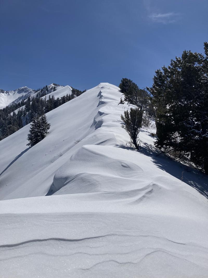
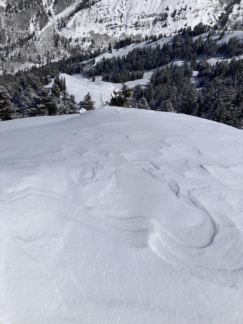
Headed up the lower east-facing ridge in Mineral Fork to look at mid-elevation North and east-facing terrain. It appeared that most of Mineral Fork got between 2-4" of new snow, a bit more had settled in areas that allowed for drifting. While winds were overall calm during our entire tour, it was obvious, by the snow surface, that they had been elevated overnight and into the morning. Once we got above treeline, there were obvious wind drifts and the cornice on the ridgeline had grown significantly since I was last in Mineral. Even with the obvious signs of wind drifted snow, we did not see any cracking or hear any collapsing while traveling on wind-loaded slopes.
We stuck our shovels right below the ridgeline on a NE aspect around 8800', the poor snowpack structure hasn't gone anywhere. We found a snow depth of 103, with approx 40cm of new snow and crusts atop 60cm of facets. While the faceted layer was still very obvious, we were unable to get propagation within our pit. We did get a collapse on the facets on the 21st tap - but it only collapsed beneath the shovel blade. I think this continues to show, that while the likelihood is decreasing, the consequences are still very high if you were to find that spot that propagated.
Photos of the snow surface impacted by the winds
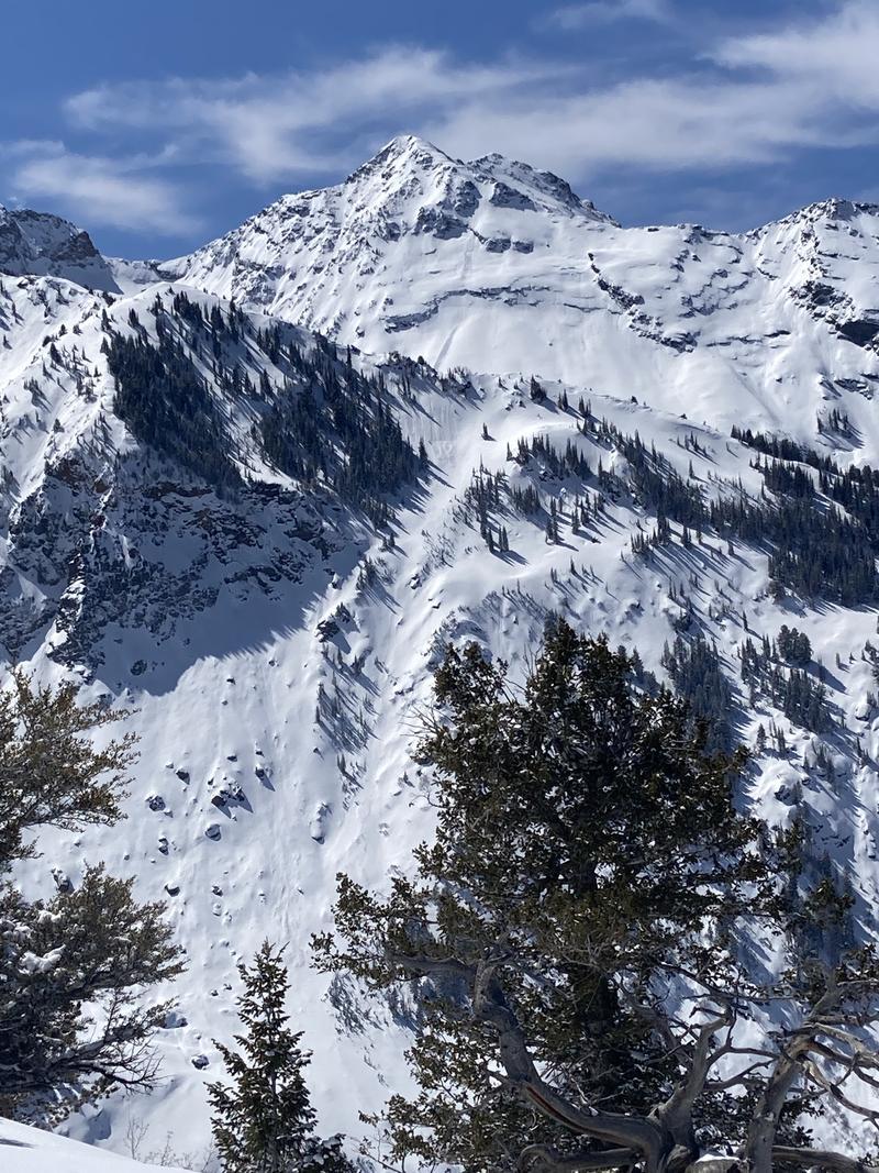
Recent activity looking across in Broads.
Today's Observed Danger Rating
Moderate
Tomorrows Estimated Danger Rating
Moderate
Coordinates


